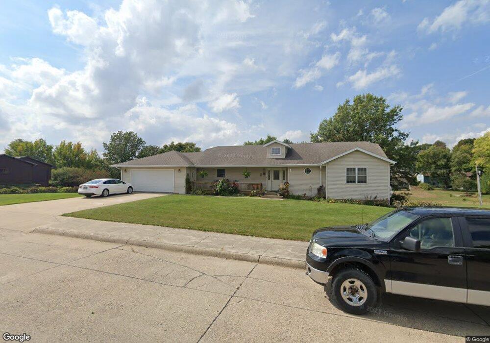
805 3rd Ave Audubon, IA 50025
Estimated Value: $255,000 - $288,000
Studio
--
Bath
1,664
Sq Ft
$161/Sq Ft
Est. Value
About This Home
This home is located at 805 3rd Ave, Audubon, IA 50025 and is currently estimated at $267,442, approximately $160 per square foot. 805 3rd Ave is a home located in Audubon County with nearby schools including Audubon Elementary School and Audubon Middle/High School.
Ownership History
Date
Name
Owned For
Owner Type
Purchase Details
Closed on
Feb 24, 2023
Sold by
Rachel Blohm Trust
Bought by
Blohm Reece Joseph
Current Estimated Value
Home Financials for this Owner
Home Financials are based on the most recent Mortgage that was taken out on this home.
Original Mortgage
$690,000
Outstanding Balance
$669,740
Interest Rate
6.5%
Estimated Equity
-$402,298
Create a Home Valuation Report for This Property
The Home Valuation Report is an in-depth analysis detailing your home's value as well as a comparison with similar homes in the area
Purchase History
We collect this data history from publicly available records. To have your information removed, we recommend requesting removal directly through your county’s website.
| Date | Buyer | Sale Price | Title Company |
|---|---|---|---|
| Blohm Reece Joseph | $72,000 | -- | |
| Blohm Reece Joseph | $648,000 | -- | |
| Blohm Randall H | $103,500 | -- | |
| Blohm Randall H | $466,000 | -- |
Source: Public Records
Mortgage History
We collect this data history from publicly available records. To have your information removed, we recommend requesting removal directly through your county’s website.
| Date | Status | Borrower | Loan Amount |
|---|---|---|---|
| Open | Blohm Reece Joseph | $690,000 | |
| Closed | Blohm Reece Joseph | $690,000 |
Source: Public Records
Tax History
| Year | Tax Paid | Tax Assessment Tax Assessment Total Assessment is a certain percentage of the fair market value that is determined by local assessors to be the total taxable value of land and additions on the property. | Land | Improvement |
|---|---|---|---|---|
| 2025 | $4,508 | $268,300 | $22,450 | $245,850 |
| 2024 | $4,508 | $267,890 | $22,450 | $245,440 |
| 2023 | $4,816 | $267,890 | $22,450 | $245,440 |
| 2022 | $4,176 | $200,140 | $22,450 | $177,690 |
| 2021 | $4,176 | $200,140 | $22,450 | $177,690 |
| 2020 | $4,272 | $190,740 | $19,640 | $171,100 |
| 2019 | $4,212 | $173,910 | $0 | $0 |
| 2018 | $4,048 | $173,910 | $0 | $0 |
| 2017 | $3,468 | $142,270 | $0 | $0 |
| 2016 | $3,210 | $142,270 | $0 | $0 |
| 2015 | $3,210 | $142,270 | $0 | $0 |
| 2014 | $2,928 | $142,270 | $0 | $0 |
Source: Public Records
Map
Nearby Homes
- 722 3rd Ave
- 718 3rd Ave
- 1116 S Division St
- 406 1st Ave
- 715 Washington St
- 613 Tracy St
- 302 1st Ave
- 601 Washington St
- 1108 Chicago St
- 532 Leroy St
- 1109 Ridgeway Dr
- 314 Church St
- 907 Broadway St
- 107 & 109 Church St
- 113 E Division St
- 103 Church St
- 101 Church St
- 706 N Arlington St
- 1766 200th St
- 2059 215th St
- 811 3rd Ave
- 803 3rd Ave
- 808 Brookside Dr
- 806 Brookside Dr
- 820 3rd Ave
- 812 Brookside Dr
- 810 Brookside Dr
- 801 3rd Ave
- 804 Brookside Dr
- 810 3rd Ave
- 802 Brookside Dr
- 803 Brookside Dr
- 809 Brookside Dr
- 807 Brookside Dr
- 805 Brookside Dr
- 811 Brookside Dr
- 801 Brookside Dr
- 604 Hahn St
- 602 Hahn St
- 806 Parkcrest Ln
Your Personal Tour Guide
Ask me questions while you tour the home.