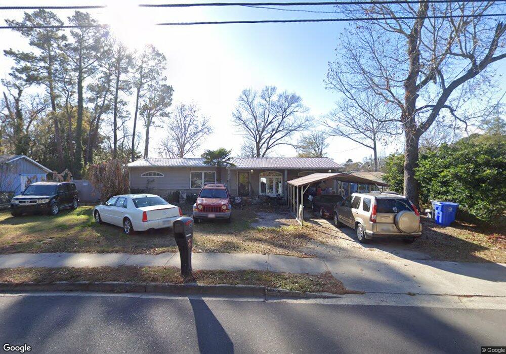
805 9th Ave S Myrtle Beach, SC 29577
Downtown Myrtle Beach NeighborhoodEstimated Value: $226,000 - $277,000
3
Beds
1
Bath
1,623
Sq Ft
$155/Sq Ft
Est. Value
About This Home
This home is located at 805 9th Ave S, Myrtle Beach, SC 29577 and is currently estimated at $251,529, approximately $154 per square foot. 805 9th Ave S is a home located in Horry County with nearby schools including Myrtle Beach Child Development Center, Myrtle Beach Primary School, and Myrtle Beach Elementary School.
Ownership History
Date
Name
Owned For
Owner Type
Purchase Details
Closed on
Jan 18, 2016
Sold by
Cowan Charles
Bought by
Davis Donald A
Current Estimated Value
Purchase Details
Closed on
Nov 20, 2013
Sold by
Brown M C
Bought by
Hibbard Gary W and Hibbard Joann
Home Financials for this Owner
Home Financials are based on the most recent Mortgage that was taken out on this home.
Original Mortgage
$65,000
Interest Rate
4.16%
Mortgage Type
Purchase Money Mortgage
Create a Home Valuation Report for This Property
The Home Valuation Report is an in-depth analysis detailing your home's value as well as a comparison with similar homes in the area
Home Values in the Area
Average Home Value in this Area
Purchase History
| Date | Buyer | Sale Price | Title Company |
|---|---|---|---|
| Davis Donald A | $60,000 | -- | |
| Hibbard Gary W | $85,000 | -- |
Source: Public Records
Mortgage History
| Date | Status | Borrower | Loan Amount |
|---|---|---|---|
| Previous Owner | Hibbard Gary W | $65,000 |
Source: Public Records
Tax History Compared to Growth
Tax History
| Year | Tax Paid | Tax Assessment Tax Assessment Total Assessment is a certain percentage of the fair market value that is determined by local assessors to be the total taxable value of land and additions on the property. | Land | Improvement |
|---|---|---|---|---|
| 2024 | $543 | $18,208 | $8,463 | $9,745 |
| 2023 | $543 | $7,033 | $1,272 | $5,761 |
| 2021 | $463 | $11,927 | $1,907 | $10,020 |
| 2020 | $400 | $11,927 | $1,907 | $10,020 |
| 2019 | $385 | $11,927 | $1,907 | $10,020 |
| 2018 | $0 | $8,338 | $1,738 | $6,600 |
| 2017 | -- | $8,338 | $1,738 | $6,600 |
| 2016 | -- | $8,338 | $1,738 | $6,600 |
| 2015 | $1,508 | $8,339 | $1,739 | $6,600 |
| 2014 | $1,466 | $8,339 | $1,739 | $6,600 |
Source: Public Records
Map
Nearby Homes
- 801 Talbot Cir
- 1007 Scott Dr
- 804 Moen Place Unit F
- 804 Moen Place Unit A
- 633 11th Ave S
- 1210 Benna Dr Unit B
- 1206 Benna Dr Unit 4-F
- 1206 Tiffany Ln Unit C
- 613 5th Ave S Unit 619 Oak Trail~KOA Ca
- 613 5th Ave S
- 613 5th Ave S Unit Lot 676
- 613 5th Ave S Unit 438
- 613 5th Ave S Unit 431 Inlet Trail
- 613 5th Ave S Unit 424
- 613 5th Ave S Unit 618 Port Trail
- 613 5th Ave S Unit 669 Anchor Way
- 613 5th Ave S Unit Lot 666
- 816 N 11th Ave N Unit A
- 1201 Tiffany Ln Unit H
- 627 Bonaventure Dr Unit 204
- 811 9th Ave S
- 710 Talbot Cir Unit Scott Acres
- 813 9th Ave S
- 815 9th Ave S Unit MB
- 807 9th Ave S
- 809 9th Ave S Unit MB
- 708 9th Ave S
- 829 9th Ave S
- 706 9th Ave S
- 103 Dorman Cir
- 710 9th Ave S
- 18 Dorman Cir
- Lot 1/18 Dorman Cir
- 708 Talbot Cir
- 706 Talbot Cir
- 708 Talbot Cir
- 107 Dorman Cir
- 105 Dorman Cir
- LOT 18 Dorman Cir
- Lots 1 & 18 Dorman Cir