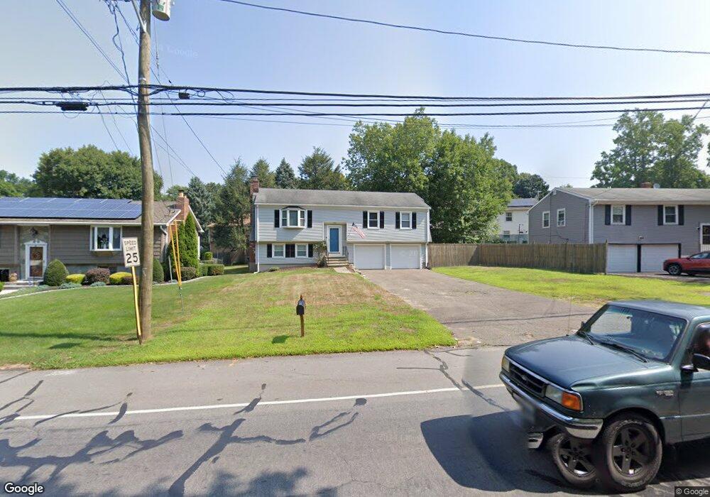
805 Broadbridge Rd Bridgeport, CT 06610
North Bridgeport NeighborhoodEstimated Value: $345,000 - $403,000
3
Beds
2
Baths
1,094
Sq Ft
$349/Sq Ft
Est. Value
About This Home
This home is located at 805 Broadbridge Rd, Bridgeport, CT 06610 and is currently estimated at $381,951, approximately $349 per square foot. 805 Broadbridge Rd is a home located in Fairfield County with nearby schools including Hooker School and Harding High School.
Ownership History
Date
Name
Owned For
Owner Type
Purchase Details
Closed on
Sep 23, 2013
Sold by
Myers Mariann
Bought by
Myers Samuel
Current Estimated Value
Home Financials for this Owner
Home Financials are based on the most recent Mortgage that was taken out on this home.
Original Mortgage
$155,000
Outstanding Balance
$115,757
Interest Rate
4.42%
Mortgage Type
New Conventional
Estimated Equity
$266,194
Purchase Details
Closed on
Jun 10, 2002
Sold by
Deprimo Ross
Bought by
Myers Samuel M and Myers Mariann
Home Financials for this Owner
Home Financials are based on the most recent Mortgage that was taken out on this home.
Original Mortgage
$160,050
Interest Rate
6.9%
Create a Home Valuation Report for This Property
The Home Valuation Report is an in-depth analysis detailing your home's value as well as a comparison with similar homes in the area
Home Values in the Area
Average Home Value in this Area
Purchase History
| Date | Buyer | Sale Price | Title Company |
|---|---|---|---|
| Myers Samuel | -- | -- | |
| Myers Samuel | -- | -- | |
| Myers Samuel M | $165,000 | -- | |
| Myers Samuel M | $165,000 | -- |
Source: Public Records
Mortgage History
| Date | Status | Borrower | Loan Amount |
|---|---|---|---|
| Open | Myers Samuel M | $155,000 | |
| Previous Owner | Myers Samuel M | $157,000 | |
| Previous Owner | Myers Samuel M | $160,050 |
Source: Public Records
Tax History
| Year | Tax Paid | Tax Assessment Tax Assessment Total Assessment is a certain percentage of the fair market value that is determined by local assessors to be the total taxable value of land and additions on the property. | Land | Improvement |
|---|---|---|---|---|
| 2025 | $6,016 | $138,461 | $52,181 | $86,280 |
| 2024 | $6,016 | $138,461 | $52,181 | $86,280 |
| 2023 | $6,016 | $138,461 | $52,181 | $86,280 |
| 2022 | $6,016 | $138,461 | $52,181 | $86,280 |
| 2021 | $6,016 | $138,461 | $52,181 | $86,280 |
| 2020 | $6,747 | $124,970 | $46,140 | $78,830 |
| 2019 | $6,747 | $124,970 | $46,140 | $78,830 |
| 2018 | $6,795 | $124,970 | $46,140 | $78,830 |
| 2017 | $6,795 | $124,970 | $46,140 | $78,830 |
| 2016 | $6,795 | $124,970 | $46,140 | $78,830 |
| 2015 | $6,181 | $146,460 | $43,840 | $102,620 |
| 2014 | $6,181 | $146,460 | $43,840 | $102,620 |
Source: Public Records
Map
Nearby Homes
- 3699 Broadbridge Ave Unit 101
- 11 Knollcrest Dr
- 2322 Nichols Ave
- 72 Broadmere Rd
- 60 Quail Trail
- 119 Jennings Ave
- 2803 Broadbridge Ave
- 120 Huntington Turnpike Unit 202
- 1285 Success Ave
- 211 Louisiana Ave Unit D
- 11 Nob Hill Cir
- 132 Virginia Ave Unit 132
- 261 Pennsylvania Ave
- 154 Virginia Ave Unit B
- 186 Louisiana Ave Unit D
- 9 Sunnyridge Pkwy
- 285 Hillcrest Rd
- 250 Dayton Rd
- 2672 Broadbridge Ave
- 33 Louisiana Ave Unit 35
- 793 Broadbridge Rd
- 15 Sullivan Place
- 815 Broadbridge Rd
- 25 Sullivan Place
- 779 Broadbridge Rd
- 10 Silver Ln
- 35 Sullivan Place
- 10 Sullivan Place
- 50 Silver Ln
- 50 Silver Ln Unit Stratford
- 770 Broadbridge Rd
- 20 Sullivan Place
- 757 Broadbridge Rd
- 55 Sullivan Place
- 284 Greystone Rd
- 30 Sullivan Place
- 79 Silver St
- 30 Silver Ln
Your Personal Tour Guide
Ask me questions while you tour the home.