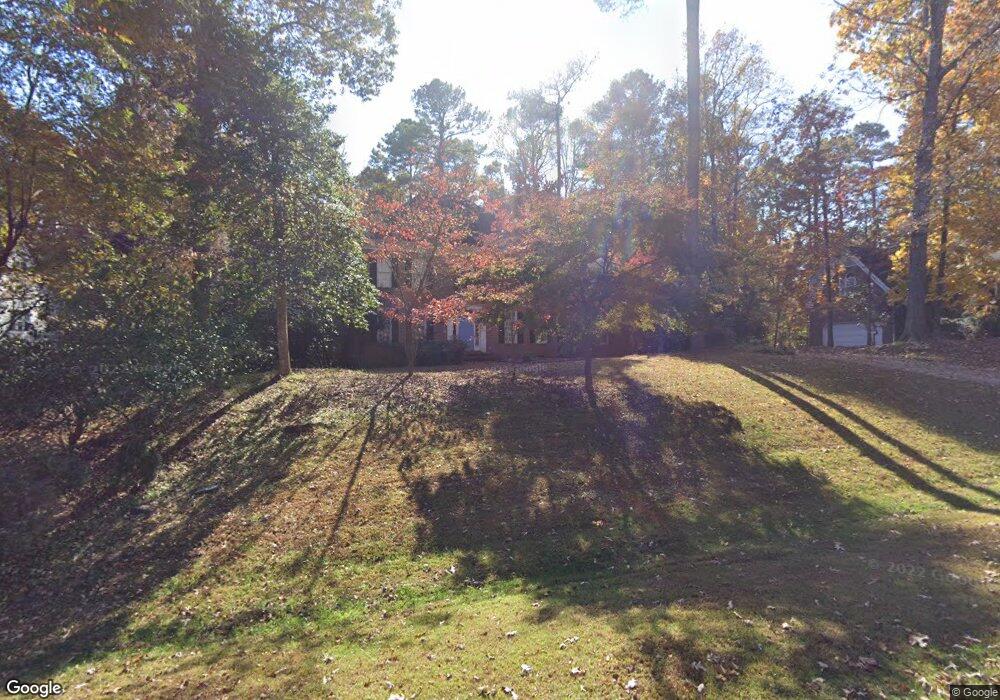
805 Darfield Dr Raleigh, NC 27615
Stonebridge NeighborhoodEstimated Value: $909,612 - $997,000
4
Beds
4
Baths
3,655
Sq Ft
$257/Sq Ft
Est. Value
About This Home
This home is located at 805 Darfield Dr, Raleigh, NC 27615 and is currently estimated at $937,903, approximately $256 per square foot. 805 Darfield Dr is a home located in Wake County with nearby schools including Baileywick Road Elementary School, West Millbrook Middle School, and Millbrook High School.
Ownership History
Date
Name
Owned For
Owner Type
Purchase Details
Closed on
Jun 13, 2002
Sold by
Johnson Linda L
Bought by
Ager David J and Lajoie Susan I
Current Estimated Value
Home Financials for this Owner
Home Financials are based on the most recent Mortgage that was taken out on this home.
Original Mortgage
$315,000
Outstanding Balance
$123,164
Interest Rate
5.75%
Estimated Equity
$814,739
Purchase Details
Closed on
Mar 2, 2001
Sold by
Johnson Richard Denny
Bought by
Johnson Linda L
Create a Home Valuation Report for This Property
The Home Valuation Report is an in-depth analysis detailing your home's value as well as a comparison with similar homes in the area
Home Values in the Area
Average Home Value in this Area
Purchase History
| Date | Buyer | Sale Price | Title Company |
|---|---|---|---|
| Ager David J | $450,000 | -- | |
| Johnson Linda L | -- | -- |
Source: Public Records
Mortgage History
| Date | Status | Borrower | Loan Amount |
|---|---|---|---|
| Open | Ager David J | $315,000 |
Source: Public Records
Tax History Compared to Growth
Tax History
| Year | Tax Paid | Tax Assessment Tax Assessment Total Assessment is a certain percentage of the fair market value that is determined by local assessors to be the total taxable value of land and additions on the property. | Land | Improvement |
|---|---|---|---|---|
| 2025 | $4,636 | $721,644 | $175,000 | $546,644 |
| 2024 | $4,501 | $721,644 | $175,000 | $546,644 |
| 2023 | $4,244 | $541,769 | $115,000 | $426,769 |
| 2022 | $3,933 | $541,769 | $115,000 | $426,769 |
| 2021 | $3,827 | $541,769 | $115,000 | $426,769 |
| 2020 | $3,764 | $541,769 | $115,000 | $426,769 |
| 2019 | $3,989 | $485,972 | $135,000 | $350,972 |
| 2018 | $3,667 | $485,972 | $135,000 | $350,972 |
| 2017 | $3,475 | $485,972 | $135,000 | $350,972 |
| 2016 | $3,405 | $485,972 | $135,000 | $350,972 |
| 2015 | $3,862 | $553,226 | $172,000 | $381,226 |
| 2014 | $3,660 | $553,226 | $172,000 | $381,226 |
Source: Public Records
Map
Nearby Homes
- 2408 Windsor Trail
- 5768 Cavanaugh Dr
- 5808 Cavanaugh Dr
- 600 Hawick Rd
- 10029 Old Warden Rd
- 5428 Winding View Ln
- 812 Stradella Rd
- 1208 Hannahs View Dr
- 5808 Norwood Ridge Dr
- 5204 Barton View Ct
- 10608 Dunhill Terrace
- 14124 Norwood Rd
- 10909 Raven Rock Dr
- 1005 Berwyn Way
- 428 Kaywoody Ct
- 14236 Wyndfield Cir
- 4008 Soaring Talon Ct
- 1112 Stone Kirk Dr
- 6736 Brixley Crest Ct
- 10101 Lobley Hill Ln
- 801 Darfield Dr
- 809 Darfield Dr
- 800 Darfield Dr
- 813 Darfield Dr
- 10500 Simtree Ct
- 10501 Tredwood Dr
- 10508 Tredwood Dr
- 10512 Tredwood Dr
- 10504 Tredwood Dr
- 10500 Tredwood Dr
- 10516 Tredwood Dr
- 10517 Tredwood Dr
- 10501 Simtree Ct
- 817 Darfield Dr
- 10508 Simtree Ct
- 901 Darfield Dr
- 10505 Simtree Ct
- 10509 Simtree Ct
- 900 Darfield Dr
- 905 Darfield Dr