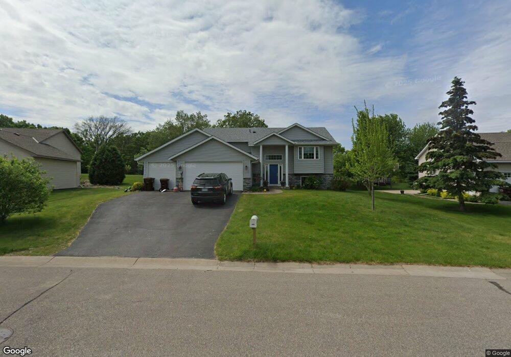
805 Deerfield Rd Watertown, MN 55388
Estimated Value: $372,509 - $419,000
4
Beds
3
Baths
1,410
Sq Ft
$280/Sq Ft
Est. Value
About This Home
This home is located at 805 Deerfield Rd, Watertown, MN 55388 and is currently estimated at $394,127, approximately $279 per square foot. 805 Deerfield Rd is a home located in Carver County with nearby schools including Watertown-Mayer Elementary School, Watertown-Mayer Middle School, and Watertown Mayer High School.
Ownership History
Date
Name
Owned For
Owner Type
Purchase Details
Closed on
Aug 8, 2016
Sold by
Mcmahon Michael
Bought by
Mcmahon Michael and Menth Miranda
Current Estimated Value
Purchase Details
Closed on
Oct 16, 2009
Sold by
Romines David E and Romines Rhonda L
Bought by
Mcmahon Michael
Home Financials for this Owner
Home Financials are based on the most recent Mortgage that was taken out on this home.
Original Mortgage
$151,920
Interest Rate
5.07%
Mortgage Type
New Conventional
Purchase Details
Closed on
Jan 11, 2005
Sold by
M A B Homes Inc
Bought by
Romines David E and Romines Rhonda L
Home Financials for this Owner
Home Financials are based on the most recent Mortgage that was taken out on this home.
Original Mortgage
$46,400
Interest Rate
5.77%
Mortgage Type
Future Advance Clause Open End Mortgage
Purchase Details
Closed on
Aug 22, 2003
Sold by
Ground Development Inc
Bought by
Mab Homes Inc
Create a Home Valuation Report for This Property
The Home Valuation Report is an in-depth analysis detailing your home's value as well as a comparison with similar homes in the area
Home Values in the Area
Average Home Value in this Area
Purchase History
| Date | Buyer | Sale Price | Title Company |
|---|---|---|---|
| Mcmahon Michael | -- | None Available | |
| Mcmahon Michael | $189,900 | -- | |
| Romines David E | $232,000 | -- | |
| Mab Homes Inc | $47,900 | -- |
Source: Public Records
Mortgage History
| Date | Status | Borrower | Loan Amount |
|---|---|---|---|
| Previous Owner | Mcmahon Michael | $151,920 | |
| Previous Owner | Romines David E | $46,400 |
Source: Public Records
Tax History Compared to Growth
Tax History
| Year | Tax Paid | Tax Assessment Tax Assessment Total Assessment is a certain percentage of the fair market value that is determined by local assessors to be the total taxable value of land and additions on the property. | Land | Improvement |
|---|---|---|---|---|
| 2025 | $3,936 | $344,500 | $72,000 | $272,500 |
| 2024 | $3,948 | $327,500 | $72,000 | $255,500 |
| 2023 | $3,896 | $331,500 | $72,000 | $259,500 |
| 2022 | $3,616 | $333,000 | $65,300 | $267,700 |
| 2021 | $3,666 | $258,100 | $54,400 | $203,700 |
| 2020 | $3,698 | $258,100 | $54,400 | $203,700 |
| 2019 | $3,518 | $248,000 | $51,800 | $196,200 |
| 2018 | $3,180 | $248,000 | $51,800 | $196,200 |
| 2017 | $3,572 | $214,800 | $42,800 | $172,000 |
| 2016 | $3,508 | $214,800 | $0 | $0 |
| 2015 | $3,042 | $194,400 | $0 | $0 |
| 2014 | $3,042 | $167,000 | $0 | $0 |
Source: Public Records
Map
Nearby Homes
- 1201 Bishop Cir
- 1221 Bishop Cir
- 865 Quail Ct
- 1290 Knight Ln
- XXX Newton Ave SE
- 593 Sienna Dr
- 578 Sienna Dr
- 555 Industrial Blvd
- 536 Industrial Blvd
- 575 Industrial Blvd
- 516 Industrial Blvd
- 829 Reo Rd
- 313 Angel Ave SW
- 408 Franklin Ave SW
- 600 Jefferson Ave SW
- 12120 County Road 24
- xxx Stevens St SW
- 115 Riverside Terrace Dr Unit 115
- 1316 Balsam Ln
- 605 Stevens St SW Unit 43
- 809 Deerfield Rd
- 801 Deerfield Rd
- 812 Quail Pkwy
- 812 Deerfield Rd
- 816 Quail Pkwy
- 817 Deerfield Rd
- 805 Quail Pkwy
- 809 Quail Pkwy
- 801 Quail Pkwy
- 813 Quail Pkwy
- 824 Deerfield Rd
- 820 Quail Pkwy
- 821 Deerfield Rd
- 828 Deerfield Rd
- 2970 Newton Ave SE
- 825 Deerfield Rd
- 824 Quail Pkwy
- 821 Quail Pkwy
- 698 Castle Ridge Rd
- 832 Deerfield Rd