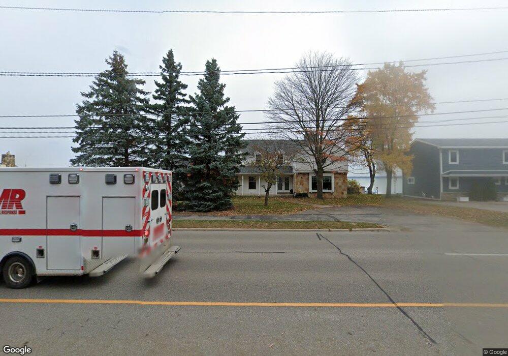
805 Munson Ave Traverse City, MI 49686
Estimated Value: $1,436,000 - $2,102,000
5
Beds
4
Baths
3,464
Sq Ft
$498/Sq Ft
Est. Value
About This Home
This home is located at 805 Munson Ave, Traverse City, MI 49686 and is currently estimated at $1,726,427, approximately $498 per square foot. 805 Munson Ave is a home located in Grand Traverse County with nearby schools including Eastern Elementary School, East Middle School, and Central High School.
Ownership History
Date
Name
Owned For
Owner Type
Purchase Details
Closed on
Apr 30, 2009
Current Estimated Value
Purchase Details
Closed on
Apr 29, 2009
Purchase Details
Closed on
Nov 11, 2008
Purchase Details
Closed on
Mar 31, 2008
Purchase Details
Closed on
Sep 30, 2005
Purchase Details
Closed on
Nov 21, 1996
Purchase Details
Closed on
Nov 16, 1994
Purchase Details
Closed on
Nov 4, 1994
Purchase Details
Closed on
Nov 15, 1988
Create a Home Valuation Report for This Property
The Home Valuation Report is an in-depth analysis detailing your home's value as well as a comparison with similar homes in the area
Home Values in the Area
Average Home Value in this Area
Purchase History
| Date | Buyer | Sale Price | Title Company |
|---|---|---|---|
| -- | -- | -- | |
| -- | $739,000 | -- | |
| -- | -- | -- | |
| -- | -- | -- | |
| -- | $700,000 | -- | |
| -- | $335,000 | -- | |
| -- | -- | -- | |
| -- | $204,000 | -- | |
| -- | $204,000 | -- |
Source: Public Records
Tax History Compared to Growth
Tax History
| Year | Tax Paid | Tax Assessment Tax Assessment Total Assessment is a certain percentage of the fair market value that is determined by local assessors to be the total taxable value of land and additions on the property. | Land | Improvement |
|---|---|---|---|---|
| 2025 | $11,092 | $938,000 | $0 | $0 |
| 2024 | $7,466 | $898,200 | $0 | $0 |
| 2023 | $7,144 | $527,900 | $0 | $0 |
| 2022 | $9,947 | $613,300 | $0 | $0 |
| 2021 | $9,601 | $527,900 | $0 | $0 |
| 2020 | $9,432 | $498,600 | $0 | $0 |
| 2019 | $9,478 | $471,500 | $0 | $0 |
| 2018 | $9,251 | $443,400 | $0 | $0 |
| 2017 | -- | $440,100 | $0 | $0 |
| 2016 | -- | $428,800 | $0 | $0 |
| 2014 | -- | $347,300 | $0 | $0 |
| 2012 | -- | $362,950 | $0 | $0 |
Source: Public Records
Map
Nearby Homes
- 859 Pine Grove Ave
- 2001 Chippewa St
- 4249 Mitchell Creek Dr
- 1825 E Eighth St Unit 111
- 1825 E Eighth St Unit 219
- 438 Davis St
- 1609 E Eighth St
- 1620 E Front St
- 687 George St
- 659 Hastings St
- 119 Fair St Unit 5
- 1143 E Eighth St Unit 2
- 1139 E Eighth St Unit 7
- 1139 E Eighth St Unit 8
- 1230 Plainview Ave
- 1133 Carver St
- 630 S Garfield Ave Unit 317
- 630 S Garfield Ave Unit 318
- 630 S Garfield Ave Unit 203
- 630 S Garfield Ave Unit 304
- 807 Munson Ave
- 801 Munson Ave
- 809 Munson Ave
- 1995 Munson Ave
- 811 Munson Ave
- 804 Munson Ave
- 802 Munson Ave
- 785 Munson Ave
- 806 Munson Ave
- 810 Avenue E
- 808 Munson Ave
- 813 Munson Ave
- 779 Munson Ave
- 812 Munson Ave
- 780 Munson Ave
- 815 Pine Grove Ave
- 840 Avenue E E
- 840 Avenue E
- 866 Munson Ave
- 858 Munson Ave