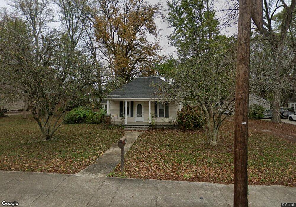
805 N High St Unit B Winchester, TN 37398
Estimated Value: $190,000 - $235,000
1
Bed
1
Bath
500
Sq Ft
$422/Sq Ft
Est. Value
About This Home
This home is located at 805 N High St Unit B, Winchester, TN 37398 and is currently estimated at $211,111, approximately $422 per square foot. 805 N High St Unit B is a home located in Franklin County with nearby schools including South Middle School, Franklin County High School, and Winchester Christian Academy.
Ownership History
Date
Name
Owned For
Owner Type
Purchase Details
Closed on
Apr 8, 2021
Sold by
Mitchell Caroline and Oneal Gregory M
Bought by
Tin Roof Rentals Llc
Current Estimated Value
Home Financials for this Owner
Home Financials are based on the most recent Mortgage that was taken out on this home.
Original Mortgage
$179,520
Outstanding Balance
$161,823
Interest Rate
2.9%
Mortgage Type
Commercial
Estimated Equity
$49,288
Purchase Details
Closed on
Mar 4, 2019
Sold by
Parr Christy
Bought by
Mitchell Raymond N
Purchase Details
Closed on
Apr 9, 1992
Bought by
Coker James A and Coker Brenda
Purchase Details
Closed on
Aug 1, 1986
Bought by
Garner Walter W
Purchase Details
Closed on
Oct 2, 1981
Purchase Details
Closed on
Jun 8, 1979
Purchase Details
Closed on
Jan 4, 1900
Create a Home Valuation Report for This Property
The Home Valuation Report is an in-depth analysis detailing your home's value as well as a comparison with similar homes in the area
Home Values in the Area
Average Home Value in this Area
Purchase History
| Date | Buyer | Sale Price | Title Company |
|---|---|---|---|
| Tin Roof Rentals Llc | $146,000 | Sovereign T&E Llc | |
| Mitchell Raymond N | $109,250 | Access Title & Escrow Inc | |
| Coker James A | $22,000 | -- | |
| Garner Walter W | $15,000 | -- | |
| -- | $18,000 | -- | |
| -- | -- | -- | |
| -- | -- | -- |
Source: Public Records
Mortgage History
| Date | Status | Borrower | Loan Amount |
|---|---|---|---|
| Open | Tin Roof Rentals Llc | $179,520 |
Source: Public Records
Tax History Compared to Growth
Tax History
| Year | Tax Paid | Tax Assessment Tax Assessment Total Assessment is a certain percentage of the fair market value that is determined by local assessors to be the total taxable value of land and additions on the property. | Land | Improvement |
|---|---|---|---|---|
| 2024 | $868 | $53,960 | $7,680 | $46,280 |
| 2023 | $868 | $33,725 | $4,800 | $28,925 |
| 2022 | $851 | $33,725 | $4,800 | $28,925 |
| 2021 | $498 | $33,725 | $4,800 | $28,925 |
| 2020 | $687 | $19,425 | $3,175 | $16,250 |
| 2019 | $687 | $19,425 | $3,175 | $16,250 |
| 2018 | $647 | $19,425 | $3,175 | $16,250 |
| 2017 | $647 | $19,425 | $3,175 | $16,250 |
| 2016 | $596 | $17,925 | $3,175 | $14,750 |
| 2015 | $586 | $17,925 | $3,175 | $14,750 |
| 2014 | $586 | $17,918 | $0 | $0 |
Source: Public Records
Map
Nearby Homes
- 715 N High St
- 713 N Vine St
- 906 N High St
- 706 N Vine St
- 74 Summerlake Ct
- 0 Summerlake Ct Unit RTC2936678
- 0 Summerlake Ct Unit RTC2936679
- 0 Summerlake Ct Unit RTC2936676
- 0 Summerlake Ct Unit RTC2936675
- 0 Summerlake Ct Unit RTC2936677
- 0 Summerlake Ct Unit RTC2936673
- 0 Summerlake Ct Unit RTC2936674
- 508 6th Ave NW
- 114 11th Ave NW
- 503 Elm St
- 1108 N Jefferson St
- 13 Lake Life Ct
- 1000 N Vine St
- 504 River Watch Way
- 408 Style St