805 Quinn Ct New Castle, DE 19720
Saint Georges NeighborhoodEstimated Value: $729,102 - $870,000
4
Beds
3
Baths
3,056
Sq Ft
$264/Sq Ft
Est. Value
About This Home
This home is located at 805 Quinn Ct, New Castle, DE 19720 and is currently estimated at $807,026, approximately $264 per square foot. 805 Quinn Ct is a home with nearby schools including Southern Elementary School, Gunning Bedford Middle School, and Aquinas Academy.
Ownership History
Date
Name
Owned For
Owner Type
Purchase Details
Closed on
Jun 7, 2019
Sold by
Haynesworth Marion L
Bought by
Haynesworth Marion L and Edwards Antoinette
Current Estimated Value
Purchase Details
Closed on
Jun 22, 2017
Sold by
Toll De Lp
Bought by
Haynesworth Marion L and Edwards Antoinette
Home Financials for this Owner
Home Financials are based on the most recent Mortgage that was taken out on this home.
Original Mortgage
$424,000
Outstanding Balance
$352,001
Interest Rate
3.95%
Mortgage Type
New Conventional
Estimated Equity
$455,025
Create a Home Valuation Report for This Property
The Home Valuation Report is an in-depth analysis detailing your home's value as well as a comparison with similar homes in the area
Home Values in the Area
Average Home Value in this Area
Purchase History
| Date | Buyer | Sale Price | Title Company |
|---|---|---|---|
| Haynesworth Marion L | -- | None Available | |
| Haynesworth Marion L | -- | None Available | |
| Haynesworth Marion L | $547,461 | None Available |
Source: Public Records
Mortgage History
| Date | Status | Borrower | Loan Amount |
|---|---|---|---|
| Open | Haynesworth Marion L | $424,000 |
Source: Public Records
Tax History Compared to Growth
Tax History
| Year | Tax Paid | Tax Assessment Tax Assessment Total Assessment is a certain percentage of the fair market value that is determined by local assessors to be the total taxable value of land and additions on the property. | Land | Improvement |
|---|---|---|---|---|
| 2024 | $4,879 | $140,300 | $13,600 | $126,700 |
| 2023 | $4,460 | $140,300 | $13,600 | $126,700 |
| 2022 | $4,644 | $140,300 | $13,600 | $126,700 |
| 2021 | $4,642 | $140,300 | $13,600 | $126,700 |
| 2020 | $4,672 | $140,300 | $13,600 | $126,700 |
| 2019 | $4,747 | $140,300 | $13,600 | $126,700 |
| 2018 | $4,302 | $140,300 | $13,600 | $126,700 |
| 2017 | $218 | $138,400 | $13,600 | $124,800 |
| 2016 | $185 | $7,100 | $7,100 | $0 |
| 2015 | -- | $7,100 | $7,100 | $0 |
| 2014 | $185 | $7,100 | $7,100 | $0 |
Source: Public Records
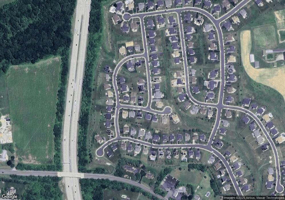
Map
Nearby Homes
- 1119 Casey Dr
- 1049 Matthew Way
- 1225 Caitlin Way
- 402 Derrytown Dr
- 1902 Mccoy Rd
- 2159 Mccoy Rd
- 31 Crestpoint Dr
- 6 Delaware St
- 4010 Kirkwood Saint Georges Rd
- 102 Parker Dr
- 35 N Dragon Dr
- 300 Fenn Ct
- 348 Starboard Dr
- 319 Pheasant Dr
- 1011 Stuyvesant St
- 210 Olivia Way
- 325 Howell School Rd
- 1211 Chesapeake View Dr
- 927 Ericcson Ln
- Wentworth Plan at The Town of Whitehall - Mapleton Village