Estimated Value: $234,735 - $264,000
3
Beds
2
Baths
1,674
Sq Ft
$151/Sq Ft
Est. Value
About This Home
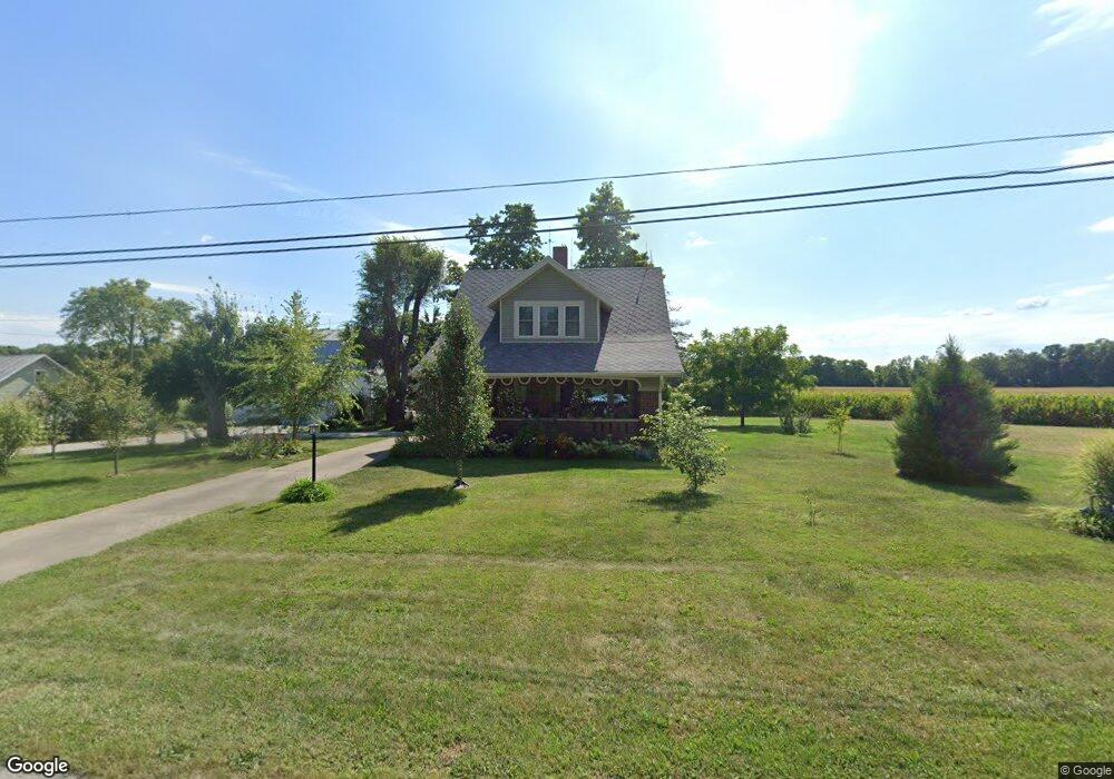
This home is located at 805 Us Route 35, Eaton, OH 45320 and is currently estimated at $252,934, approximately $151 per square foot. 805 Us Route 35 is a home located in Preble County with nearby schools including Hollingsworth East Elementary School, William Bruce Elementary School, and Eaton Middle School.
Ownership History
Date
Name
Owned For
Owner Type
Purchase Details
Closed on
Jul 22, 2020
Sold by
Strunk Orlin R and Strunk Jill Elaine
Bought by
Strunk Orlin R and Strunk Jill Elaine
Current Estimated Value
Purchase Details
Closed on
Feb 2, 2012
Sold by
Dj & J Investment Properties Llc
Bought by
Strunk Orlin R
Home Financials for this Owner
Home Financials are based on the most recent Mortgage that was taken out on this home.
Original Mortgage
$137,700
Outstanding Balance
$94,384
Interest Rate
3.9%
Mortgage Type
New Conventional
Estimated Equity
$158,550
Create a Home Valuation Report for This Property
The Home Valuation Report is an in-depth analysis detailing your home's value as well as a comparison with similar homes in the area
Home Values in the Area
Average Home Value in this Area
Purchase History
| Date | Buyer | Sale Price | Title Company |
|---|---|---|---|
| Strunk Orlin R | -- | None Available | |
| Strunk Orlin R | $208,500 | Freedom Title | |
| Dj & J Investment Properties Llc | -- | Freedom Title |
Source: Public Records
Mortgage History
| Date | Status | Borrower | Loan Amount |
|---|---|---|---|
| Open | Strunk Orlin R | $137,700 |
Source: Public Records
Tax History Compared to Growth
Tax History
| Year | Tax Paid | Tax Assessment Tax Assessment Total Assessment is a certain percentage of the fair market value that is determined by local assessors to be the total taxable value of land and additions on the property. | Land | Improvement |
|---|---|---|---|---|
| 2024 | $1,889 | $53,450 | $11,100 | $42,350 |
| 2023 | $1,889 | $53,450 | $11,100 | $42,350 |
| 2022 | $1,688 | $39,310 | $11,100 | $28,210 |
| 2021 | $1,772 | $39,310 | $11,100 | $28,210 |
| 2020 | $1,706 | $39,310 | $11,100 | $28,210 |
| 2019 | $1,519 | $34,510 | $9,730 | $24,780 |
| 2018 | $1,565 | $34,480 | $9,730 | $24,750 |
| 2017 | $1,465 | $34,480 | $9,730 | $24,750 |
| 2016 | $1,721 | $41,480 | $13,510 | $27,970 |
| 2014 | $1,748 | $41,480 | $13,510 | $27,970 |
| 2013 | $1,748 | $41,475 | $13,510 | $27,965 |
Source: Public Records
Map
Nearby Homes
- 115 Woodland Dr
- 331 W Chicago St
- 308 Hubble St
- 405 Walnut St
- 230 W Spring St
- 210 W Spring St
- 124 Deem St
- 111 W High St
- 233 N Barron St
- 919 N Barron St
- 115 E Decatur St
- 0-00 Washington Jackson Rd
- 105 Leatherman Place
- 612 N Cherry St
- 125 E Decatur St
- 130 E Chicago St
- 217 E Eidson St
- 219 E High St
- 414 N Maple St
- 1008 N Maple St
- 805 Richmond Pike
- 160 Woodland Dr
- 812 Us Route 35
- 820 Us Route 35
- 724 Us Route 35
- 724 Richmond Pike
- 724 U S 35
- 152 Woodland Dr
- 828 Us Route 35
- 828 Us Route 35 W
- 828 Us Route 35
- 127 Woodland Dr
- 148 Woodland Dr
- 716 Richmond Pike
- 716 Us Route 35
- 144 Woodland Dr
- 123 Woodland Dr
- 140 Woodland Dr
- 111 Woodland Dr
- 839 Us Route 35