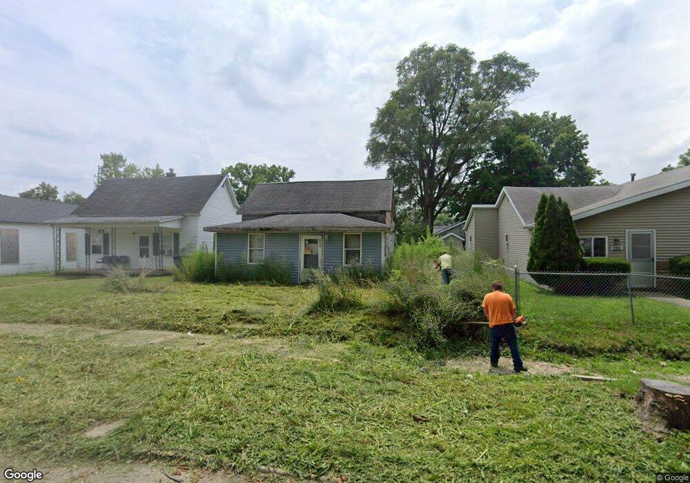
805 W 10th St Muncie, IN 47302
Thomas Park-Avondale NeighborhoodEstimated Value: $56,000 - $92,000
3
Beds
1
Bath
960
Sq Ft
$72/Sq Ft
Est. Value
About This Home
This home is located at 805 W 10th St, Muncie, IN 47302 and is currently estimated at $69,316, approximately $72 per square foot. 805 W 10th St is a home located in Delaware County with nearby schools including South View Elementary School, Muncie Central High School, and Southside Middle School.
Ownership History
Date
Name
Owned For
Owner Type
Purchase Details
Closed on
May 19, 2014
Sold by
Gullion Corey Harris
Bought by
Phillips Monty Ray
Current Estimated Value
Purchase Details
Closed on
Sep 5, 2012
Sold by
Berry Joanna H
Bought by
Gullion Corey Harris
Purchase Details
Closed on
Nov 6, 2008
Sold by
Coats Randa
Bought by
Berry Joann H
Purchase Details
Closed on
Jun 22, 2006
Sold by
Federal Home Loan Mortgage Corporation
Bought by
Coats Randa
Purchase Details
Closed on
Sep 1, 2005
Sold by
Neff Rick
Bought by
Federal Home Loan Mortgage Corporation
Create a Home Valuation Report for This Property
The Home Valuation Report is an in-depth analysis detailing your home's value as well as a comparison with similar homes in the area
Home Values in the Area
Average Home Value in this Area
Purchase History
| Date | Buyer | Sale Price | Title Company |
|---|---|---|---|
| Phillips Monty Ray | -- | -- | |
| Gullion Corey Harris | -- | None Available | |
| Berry Joann H | -- | None Available | |
| Coats Randa | -- | None Available | |
| Federal Home Loan Mortgage Corporation | -- | None Available |
Source: Public Records
Tax History
| Year | Tax Paid | Tax Assessment Tax Assessment Total Assessment is a certain percentage of the fair market value that is determined by local assessors to be the total taxable value of land and additions on the property. | Land | Improvement |
|---|---|---|---|---|
| 2025 | $540 | $28,700 | $4,200 | $24,500 |
| 2024 | $540 | $21,600 | $4,200 | $17,400 |
| 2023 | $2,713 | $19,800 | $4,200 | $15,600 |
| 2022 | $510 | $20,100 | $4,200 | $15,900 |
| 2021 | $408 | $15,000 | $4,600 | $10,400 |
| 2020 | $360 | $12,600 | $4,000 | $8,600 |
| 2019 | $434 | $16,300 | $4,000 | $12,300 |
| 2018 | $488 | $16,300 | $4,000 | $12,300 |
| 2017 | $408 | $15,000 | $4,000 | $11,000 |
| 2016 | $430 | $16,100 | $4,500 | $11,600 |
| 2014 | $295 | $12,600 | $4,500 | $8,100 |
| 2013 | -- | $12,200 | $4,500 | $7,700 |
Source: Public Records
Map
Nearby Homes
- 802 W 13th St
- 617 W Memorial Dr
- 500 W Memorial Dr
- 907 W 14th St
- 805 W 15th St
- 927 W 15th St
- 313 W 10th St
- 1400 W 13th St
- 309 W 8th St
- 1303 S Liberty St
- 1438 W 13th St
- 1702 S High St
- 1434 W 14th St
- 1448 W 14th St
- 2224 S Hoyt Ave
- 117 E 7th St
- 620 S Gharkey St
- 925 W Powers St
- 1617 W 16th St
- 1822 W 7th St
Your Personal Tour Guide
Ask me questions while you tour the home.