805 Walridge Ct Unit 80 Nolensville, TN 37135
Estimated Value: $1,132,012 - $1,172,000
--
Bed
4
Baths
3,804
Sq Ft
$303/Sq Ft
Est. Value
About This Home
This home is located at 805 Walridge Ct Unit 80, Nolensville, TN 37135 and is currently estimated at $1,152,006, approximately $302 per square foot. 805 Walridge Ct Unit 80 is a home located in Williamson County with nearby schools including Jordan Elementary School, Sunset Middle School, and Nolensville High School.
Ownership History
Date
Name
Owned For
Owner Type
Purchase Details
Closed on
Jun 21, 2019
Sold by
Drees Premier Homes Inc
Bought by
Schrodt Martin and Schrodt Michelle L
Current Estimated Value
Home Financials for this Owner
Home Financials are based on the most recent Mortgage that was taken out on this home.
Original Mortgage
$425,000
Outstanding Balance
$373,679
Interest Rate
4.1%
Mortgage Type
New Conventional
Estimated Equity
$778,327
Purchase Details
Closed on
Sep 26, 2018
Sold by
Tf Scales Farmstead L P
Bought by
Drees Premier Homes Inc
Create a Home Valuation Report for This Property
The Home Valuation Report is an in-depth analysis detailing your home's value as well as a comparison with similar homes in the area
Home Values in the Area
Average Home Value in this Area
Purchase History
| Date | Buyer | Sale Price | Title Company |
|---|---|---|---|
| Schrodt Martin | $715,241 | Stewart Title Company Tn Div | |
| Drees Premier Homes Inc | $381,158 | Midtown Title Llc |
Source: Public Records
Mortgage History
| Date | Status | Borrower | Loan Amount |
|---|---|---|---|
| Open | Schrodt Martin | $425,000 |
Source: Public Records
Tax History Compared to Growth
Tax History
| Year | Tax Paid | Tax Assessment Tax Assessment Total Assessment is a certain percentage of the fair market value that is determined by local assessors to be the total taxable value of land and additions on the property. | Land | Improvement |
|---|---|---|---|---|
| 2024 | $3,929 | $181,075 | $33,750 | $147,325 |
| 2023 | $3,929 | $181,075 | $33,750 | $147,325 |
| 2022 | $3,929 | $181,075 | $33,750 | $147,325 |
| 2021 | $3,929 | $181,075 | $33,750 | $147,325 |
| 2020 | $3,942 | $157,050 | $28,750 | $128,300 |
| 2019 | $2,253 | $95,025 | $28,750 | $66,275 |
| 2018 | $661 | $28,750 | $28,750 | $0 |
| 2017 | $655 | $28,750 | $28,750 | $0 |
Source: Public Records
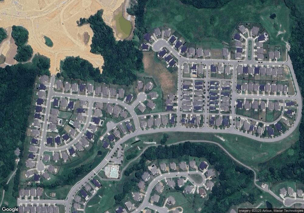
Map
Nearby Homes
- 401 Herring Trail
- 1037 Lawson Ln
- 2420 Marco St
- 613 Vickery Park Dr
- 1247 Spruell Dr
- 1201 Bradshaw Ln
- 2308 Dugan Dr
- 1973 Napa Dr
- 1950 Napa Dr
- 1958 Napa Dr
- 1969 Napa Dr
- 9902 Amarosa Ct
- 9909 Amarosa Ct
- 9906 Amarosa Ct
- 1974 Napa Dr
- 1971 Napa Dr
- 1953 Napa Dr
- 1963 Napa Dr
- 9908 Amarosa Ct
- 9604 Clovercroft Rd
- 805 Walridge Ct
- 805 Walridge Ct
- 801 Walridge Ct
- 801 Walridge Ct Unit 81
- 801 Walridge Ct
- 809 Walridge Ct Unit 79
- 809 Walridge Ct
- 808 Walridge Ct Unit 78
- 808 Walridge Ct
- 660 Vickery Park Drive L-82
- 660 Vickery Park Dr
- 1500 Underwood Dr
- 1500 Underwood Dr Unit 76
- 664 Vickery Park Dr
- 664 Vickery Park Dr
- 668 Vickery Park Dr L-84
- 804 Walridge Ct Unit 77
- 804 Walridge Ct
- 2504 Whitlock Trail
- 2504 Whitlock Trail Unit 88