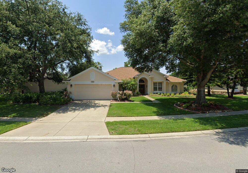
8059 Laurel Ridge Dr Mount Dora, FL 32757
Estimated Value: $505,218 - $617,000
About This Home
This home is located at 8059 Laurel Ridge Dr, Mount Dora, FL 32757 and is currently estimated at $549,555, approximately $197 per square foot. 8059 Laurel Ridge Dr is a home located in Lake County with nearby schools including Triangle Elementary School, Mt. Dora Middle School, and Mt. Dora High School.
Ownership History
We collect this data history from publicly available records. To have your information removed, we recommend requesting removal directly through your county’s website.
Purchase Details
Home Financials for this Owner
Home Financials are based on the most recent Mortgage that was taken out on this home.Purchase Details
Purchase Details
Purchase Details
Home Values in the Area
Average Home Value in this Area
Purchase History
We collect this data history from publicly available records. To have your information removed, we recommend requesting removal directly through your county’s website.
| Date | Buyer | Sale Price | Title Company |
|---|---|---|---|
| $450,000 | -- | ||
| -- | Attorney | ||
| $215,000 | -- | ||
| $201,700 | -- |
Mortgage History
We collect this data history from publicly available records. To have your information removed, we recommend requesting removal directly through your county’s website.
| Date | Status | Borrower | Loan Amount |
|---|---|---|---|
| Open | $434,553 |
Tax History
We collect this data history from publicly available records. To have your information removed, we recommend requesting removal directly through your county’s website.
| Year | Tax Paid | Tax Assessment Tax Assessment Total Assessment is a certain percentage of the fair market value that is determined by local assessors to be the total taxable value of land and additions on the property. | Land | Improvement |
|---|---|---|---|---|
| 2026 | $6,762 | $422,158 | $100,000 | $322,158 |
| 2025 | $7,332 | $411,815 | $100,000 | $311,815 |
| 2024 | $7,332 | $411,815 | $100,000 | $311,815 |
| 2023 | $7,332 | $387,540 | $90,000 | $297,540 |
| 2022 | $4,441 | $266,750 | $0 | $0 |
| 2021 | $4,282 | $258,984 | $0 | $0 |
| 2020 | $4,438 | $255,409 | $0 | $0 |
| 2019 | $4,440 | $249,667 | $0 | $0 |
| 2018 | $4,297 | $245,012 | $0 | $0 |
| 2017 | $4,046 | $239,973 | $0 | $0 |
| 2016 | $3,950 | $235,038 | $0 | $0 |
| 2015 | $4,023 | $233,405 | $0 | $0 |
| 2014 | $3,962 | $231,553 | $0 | $0 |
Map
- 9035 Laurel Ridge Dr
- 9041 Laurel Ridge Dr
- 8011 Pine Hollow Dr
- 8013 Pine Hollow Dr
- 8032 Pine Hollow Dr
- 3952 Kennebunk Loop
- 6027 Spring Creek Ct
- 3958 Kennebunk Loop
- 3944 Kennebunk Loop
- 3961 Kennebunk Loop
- 3942 Kennebunk Loop
- 3963 Kennebunk Loop
- 3022 Andover Ct
- 3969 Kennebunk Loop
- 2982 Kittery Ct
- 3975 Kennebunk Loop
- 3016 Andover Ct
- 8041 Saint James Way
- 8598 Bridgeport Bay Cir
- 9096 Laurel Ridge Dr
- 8059 Laurel Ridge Dr
- 8061 Laurel Ridge Dr
- 8057 Laurel Ridge Dr
- 8063 Laurel Ridge Dr
- 7002 Shadowood Cir
- 8064 Laurel Ridge Dr
- 8066 Laurel Ridge Dr
- 9006 Oakcrest Cir
- 9004 Oakcrest Cir
- 8065 Laurel Ridge Dr
- 8068 Laurel Ridge Dr
- 7001 Shadowood Cir
- 7004 Shadowood Cir
- 8053 Laurel Ridge Dr
- 8060 Laurel Ridge Dr
- 9002 Oakcrest Cir
- 8070 Laurel Ridge Dr
- 7003 Shadowood Cir
- 8058 Laurel Ridge Dr
- 8056 Laurel Ridge Dr
Ask me questions while you tour the home.