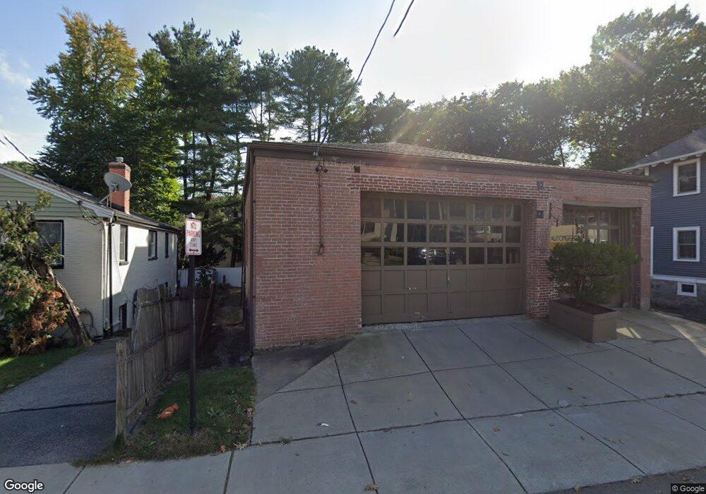
806 Heath St Chestnut Hill, MA 02467
South Brookline NeighborhoodEstimated Value: $1,711,272 - $2,238,000
4
Beds
3
Baths
1,908
Sq Ft
$1,023/Sq Ft
Est. Value
About This Home
This home is located at 806 Heath St, Chestnut Hill, MA 02467 and is currently estimated at $1,952,068, approximately $1,023 per square foot. 806 Heath St is a home located in Norfolk County with nearby schools including Baker School, Mount Alvernia Academy, and Brimmer & May School.
Ownership History
Date
Name
Owned For
Owner Type
Purchase Details
Closed on
Aug 10, 1989
Sold by
Donnelly Nancy T
Bought by
Glaser Thomas A
Current Estimated Value
Home Financials for this Owner
Home Financials are based on the most recent Mortgage that was taken out on this home.
Original Mortgage
$315,000
Interest Rate
9.93%
Mortgage Type
Purchase Money Mortgage
Create a Home Valuation Report for This Property
The Home Valuation Report is an in-depth analysis detailing your home's value as well as a comparison with similar homes in the area
Home Values in the Area
Average Home Value in this Area
Purchase History
| Date | Buyer | Sale Price | Title Company |
|---|---|---|---|
| Glaser Thomas A | $350,000 | -- |
Source: Public Records
Mortgage History
| Date | Status | Borrower | Loan Amount |
|---|---|---|---|
| Closed | Glaser Thomas A | $315,000 |
Source: Public Records
Tax History Compared to Growth
Tax History
| Year | Tax Paid | Tax Assessment Tax Assessment Total Assessment is a certain percentage of the fair market value that is determined by local assessors to be the total taxable value of land and additions on the property. | Land | Improvement |
|---|---|---|---|---|
| 2025 | $17,003 | $1,722,700 | $811,700 | $911,000 |
| 2024 | $16,183 | $1,656,400 | $780,500 | $875,900 |
| 2023 | $15,515 | $1,556,200 | $712,600 | $843,600 |
| 2022 | $15,102 | $1,482,000 | $678,600 | $803,400 |
| 2021 | $13,965 | $1,425,000 | $652,500 | $772,500 |
| 2020 | $12,004 | $1,270,300 | $593,100 | $677,200 |
| 2019 | $10,161 | $1,084,400 | $564,900 | $519,500 |
| 2018 | $10,252 | $1,083,700 | $570,100 | $513,600 |
| 2017 | $10,101 | $1,022,400 | $537,900 | $484,500 |
| 2016 | $9,956 | $955,500 | $502,700 | $452,800 |
| 2015 | $9,537 | $893,000 | $469,800 | $423,200 |
| 2014 | $9,663 | $848,400 | $426,400 | $422,000 |
Source: Public Records
Map
Nearby Homes
- 811 Heath St
- 5 Heathwood Ln
- 799 Heath St Unit 2
- 809-811 Heath St Unit 811
- 771 Heath St Unit 771
- 321 Hammond Pond Pkwy Unit 103
- 321 Hammond Pond Pkwy Unit 301
- 33 Hammond Pond Pkwy Unit 2
- 11 Hammond Pond Pkwy Unit 3
- 15 Glenland Rd
- 80 Louise Rd Unit 82
- 280 Boylston St Unit 203
- 280 Boylston St Unit 905
- 280 Boylston St Unit 710
- 280 Boylston St Unit 908
- 280 Boylston St Unit 415
- 280 Boylston St Unit 511
- 79 Florence St Unit 600S
- 79 Florence St Unit 402S
- 38 Tanglewood Rd
- 798 Heath St Unit 1
- 800 Heath St
- 798 Heath St
- 798 Heath St Unit 798
- 798 Heath St Unit 800
- 816 Heath St
- 816 Heath St Unit 2,816
- 816 Heath St Unit 2
- 816 Heath St Unit 1
- 816 Heath St Unit A
- 816 Heath St Unit B
- 794 Heath St Unit 796
- 796 Heath St Unit 1
- 796 Heath St Unit 796
- 796 Heath St
- 794 Heath St Unit 1
- 794 Heath St Unit 2
- 19 Lyon Rd
- 27 Lyon Rd
- 805 Heath St Unit 1