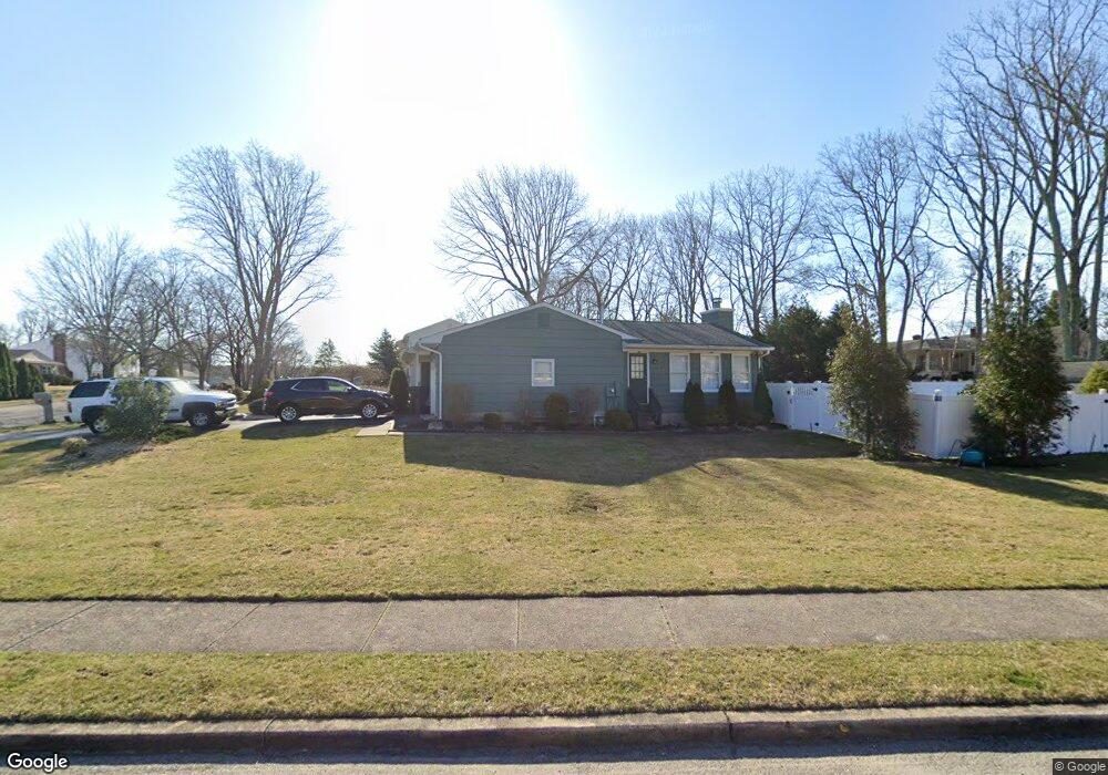
806 Mayo Dr Toms River, NJ 08753
Estimated Value: $532,898 - $676,000
3
Beds
2
Baths
1,846
Sq Ft
$328/Sq Ft
Est. Value
About This Home
This home is located at 806 Mayo Dr, Toms River, NJ 08753 and is currently estimated at $604,975, approximately $327 per square foot. 806 Mayo Dr is a home located in Ocean County.
Ownership History
Date
Name
Owned For
Owner Type
Purchase Details
Closed on
Feb 9, 2017
Sold by
Frazier Trust
Bought by
Frazier Trust
Current Estimated Value
Purchase Details
Closed on
Sep 16, 2015
Sold by
Frazier Charles C and Frazier Joan E
Bought by
Charles Frazier Revocable Living Trust and Frazier Joan
Purchase Details
Closed on
Jun 29, 1995
Sold by
Ewtushek Jacob
Bought by
Frazier Charles and Frazier Joan
Home Financials for this Owner
Home Financials are based on the most recent Mortgage that was taken out on this home.
Original Mortgage
$110,000
Interest Rate
7.84%
Create a Home Valuation Report for This Property
The Home Valuation Report is an in-depth analysis detailing your home's value as well as a comparison with similar homes in the area
Home Values in the Area
Average Home Value in this Area
Purchase History
| Date | Buyer | Sale Price | Title Company |
|---|---|---|---|
| Frazier Trust | $300,000 | -- | |
| Charles Frazier Revocable Living Trust | -- | Attorney | |
| Frazier Charles | $150,000 | -- |
Source: Public Records
Mortgage History
| Date | Status | Borrower | Loan Amount |
|---|---|---|---|
| Closed | Frazier Charles | $110,000 |
Source: Public Records
Tax History Compared to Growth
Tax History
| Year | Tax Paid | Tax Assessment Tax Assessment Total Assessment is a certain percentage of the fair market value that is determined by local assessors to be the total taxable value of land and additions on the property. | Land | Improvement |
|---|---|---|---|---|
| 2025 | $7,009 | $384,900 | $138,000 | $246,900 |
| 2024 | $6,663 | $384,900 | $138,000 | $246,900 |
| 2023 | $6,424 | $384,900 | $138,000 | $246,900 |
| 2022 | $6,424 | $384,900 | $138,000 | $246,900 |
| 2021 | $5,834 | $232,900 | $103,300 | $129,600 |
| 2020 | $5,809 | $232,900 | $103,300 | $129,600 |
| 2019 | $5,557 | $232,900 | $103,300 | $129,600 |
| 2018 | $5,482 | $232,900 | $103,300 | $129,600 |
| 2017 | $5,436 | $232,900 | $103,300 | $129,600 |
| 2016 | $5,294 | $232,900 | $103,300 | $129,600 |
| 2015 | $5,094 | $232,900 | $103,300 | $129,600 |
| 2014 | $4,849 | $232,900 | $103,300 | $129,600 |
Source: Public Records
Map
Nearby Homes
- 855 Derry Dr
- 308 Cedar Grove Rd
- 1004 Sheila Dr
- 1016 Sheila Dr
- 939 Alden Dr
- 308 Tradewinds Ave
- 751 High Meadow Dr
- 241 Lester Rd
- 711 Bay Ave
- 918 Briar Ave
- 696 Schoolhouse Ln
- 944 Yellowbank Rd
- 1115 Verdant Rd
- 830 Brookside Dr
- 904 Nantucket Ct
- 367 Flaam St
- 968 Goose Creek Rd
- 883 Astoria Dr
- 1072 Lake Placid Dr
- 520 Delos Dr