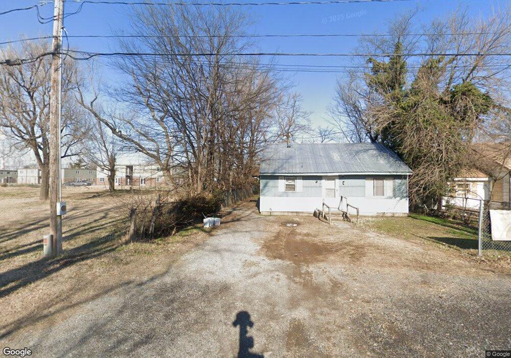
806 Ruth St Sikeston, MO 63801
Estimated Value: $41,000 - $76,000
--
Bed
--
Bath
1,138
Sq Ft
$51/Sq Ft
Est. Value
About This Home
This home is located at 806 Ruth St, Sikeston, MO 63801 and is currently estimated at $57,575, approximately $50 per square foot. 806 Ruth St is a home with nearby schools including Sikeston Senior High School, St. Francis Xavier School, and The Christian Academy.
Ownership History
Date
Name
Owned For
Owner Type
Purchase Details
Closed on
Jul 31, 2024
Sold by
Hatchett Janeil
Bought by
Hatchett Holdings Llc
Current Estimated Value
Purchase Details
Closed on
Mar 9, 2021
Sold by
Australian Property Investments Llc
Bought by
City Of Sikeston Land Cleaance For Redev
Purchase Details
Closed on
Feb 24, 2021
Sold by
Australian Property Investments Llc
Bought by
City Of Sikeston Land Clearance For Rede and City Of Sikeston
Purchase Details
Closed on
Aug 24, 2020
Sold by
Australian Property Investments Llc
Bought by
City Of Sikeston Land Clearance For Rede
Purchase Details
Closed on
Jan 26, 2015
Sold by
Larry Larry and White Louise
Bought by
Australian Property Investments Llc
Create a Home Valuation Report for This Property
The Home Valuation Report is an in-depth analysis detailing your home's value as well as a comparison with similar homes in the area
Home Values in the Area
Average Home Value in this Area
Purchase History
| Date | Buyer | Sale Price | Title Company |
|---|---|---|---|
| Hatchett Holdings Llc | -- | None Listed On Document | |
| City Of Sikeston Land Cleaance For Redev | -- | None Available | |
| City Of Sikeston Land Clearance For Rede | $716 | None Available | |
| City Of Sikeston Land Clearance For Rede | -- | None Available | |
| Australian Property Investments Llc | -- | -- |
Source: Public Records
Tax History Compared to Growth
Tax History
| Year | Tax Paid | Tax Assessment Tax Assessment Total Assessment is a certain percentage of the fair market value that is determined by local assessors to be the total taxable value of land and additions on the property. | Land | Improvement |
|---|---|---|---|---|
| 2025 | $32 | $680 | $0 | $0 |
| 2024 | $32 | $680 | $0 | $0 |
| 2023 | $32 | $680 | $0 | $0 |
| 2022 | $103 | $680 | $0 | $0 |
| 2021 | $103 | $0 | $0 | $0 |
| 2020 | $103 | $680 | $0 | $0 |
| 2019 | -- | $680 | $0 | $0 |
| 2018 | -- | $680 | $0 | $0 |
| 2017 | -- | $680 | $0 | $0 |
| 2014 | -- | $2,240 | $0 | $0 |
| 2011 | -- | $2,240 | $0 | $0 |
Source: Public Records
Map
Nearby Homes
- 723 Kendall St
- 848 Agnes St
- 849 William St
- 406 W Gladys St
- 520 Coleman St
- 408 Carroll St
- 511 Clayton Ave
- 1140 Ruth St
- 325 Daniel St
- 420 Malcolm Ave
- 1304 William St
- 119 William St
- 115 William St
- 800 Cotton Ridge Dr
- 802 Cotton Ridge Dr
- 804 Cotton Ridge Dr
- 806 Cotton Ridge Dr
- 808 Cotton Ridge Dr
- 810 Cotton Ridge Dr
- 811 Cotton Ridge Dr