Estimated Value: $64,180 - $167,000
2
Beds
1
Bath
680
Sq Ft
$160/Sq Ft
Est. Value
About This Home
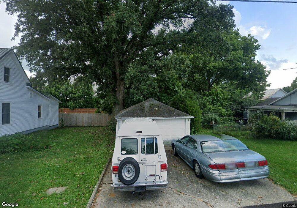
This home is located at 8064 E State Route 41, Troy, OH 45373 and is currently estimated at $108,545, approximately $159 per square foot. 8064 E State Route 41 is a home located in Miami County with nearby schools including Miami East Elementary School, Miami East Junior High School, and Miami East High School.
Ownership History
Date
Name
Owned For
Owner Type
Purchase Details
Closed on
Jun 18, 2014
Sold by
Blackburn John Cameron
Bought by
Westfall Carol L
Current Estimated Value
Purchase Details
Closed on
Jun 8, 2007
Sold by
Rich Eric B and Rich Shirley A
Bought by
Blackburn John Cameron
Purchase Details
Closed on
Feb 24, 2000
Sold by
Burnside Gary R and Burnside Randy L
Bought by
Rich Eric B and Rich Shirley A
Purchase Details
Closed on
Mar 8, 1999
Sold by
Burnside Ira
Bought by
Burnside June and Burnside Catherine J
Purchase Details
Closed on
Jan 1, 1990
Bought by
Burnside Ira
Create a Home Valuation Report for This Property
The Home Valuation Report is an in-depth analysis detailing your home's value as well as a comparison with similar homes in the area
Purchase History
| Date | Buyer | Sale Price | Title Company |
|---|---|---|---|
| Westfall Carol L | $18,000 | Attorney | |
| Blackburn John Cameron | $34,000 | -- | |
| Rich Eric B | $30,000 | -- | |
| Burnside June | -- | -- | |
| Burnside Ira | -- | -- |
Source: Public Records
Tax History
| Year | Tax Paid | Tax Assessment Tax Assessment Total Assessment is a certain percentage of the fair market value that is determined by local assessors to be the total taxable value of land and additions on the property. | Land | Improvement |
|---|---|---|---|---|
| 2025 | -- | $18,690 | $3,500 | $15,190 |
| 2024 | $277 | $18,520 | $3,780 | $14,740 |
| 2023 | $277 | $18,520 | $3,780 | $14,740 |
| 2022 | $288 | $17,570 | $3,780 | $13,790 |
| 2021 | $164 | $13,520 | $2,910 | $10,610 |
| 2020 | $165 | $13,520 | $2,910 | $10,610 |
| 2019 | $168 | $13,520 | $2,910 | $10,610 |
| 2018 | $75 | $10,820 | $2,840 | $7,980 |
| 2017 | $75 | $10,820 | $2,840 | $7,980 |
| 2016 | $70 | $10,820 | $2,840 | $7,980 |
| 2015 | $59 | $10,400 | $2,730 | $7,670 |
| 2014 | $59 | $10,400 | $2,730 | $7,670 |
| 2013 | $59 | $10,400 | $2,730 | $7,670 |
Source: Public Records
Map
Nearby Homes
- 8030 E State Route 41
- 3535 Ruby Dr
- 2656 Addison New Carlisle Rd
- 0 Gearhart Rd
- 3526 Dallas Dr
- 950 Rosenthal Dr
- 3410 Michael Dr
- 3406 Christina Dr
- 2691 County Highway 6a
- Tracts 4&5 (of 5) Elm Tree Rd
- 4930 State Route 201
- 907 White Pine St
- 8020 E New Carlisle Rd
- 14 Ditmer
- 208 Monroe Way
- 209 Meadow Dr
- 3485 County Highway 6a
- 203 Monroe Way
- 801 Brubaker Dr
- 227 Fenwick Dr
- 8062 E State Route 41
- 8080 E State Route 41
- 8036 E State Route 41
- 8063 E State Route 41
- 8110 E State Route 41
- 8045 E State Route 41
- 8020 E State Route 41
- 8025 E State Route 41
- 8019 E State Route 41
- 7994 E State Route 41
- 8010 E State Route 41
- 7990 E State Route 41
- 7980 E State Route 41
- 7970 E State Route 41
- 950 S Alcony Conover Rd
- 930 S Alcony Conover Rd
- 895 S Alcony Conover Rd
- 8190 E State Route 41
- 7977 E State Route 41
- 7965 E State Route 41
Your Personal Tour Guide
Ask me questions while you tour the home.