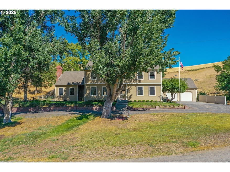


$790,000
- 5 Beds
- 6 Baths
- 5,179 Sq Ft
- 1092 Skyline Dr
- Pendleton, OR
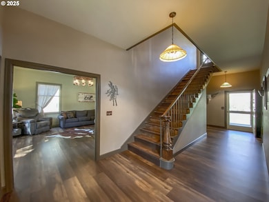
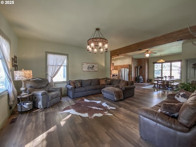
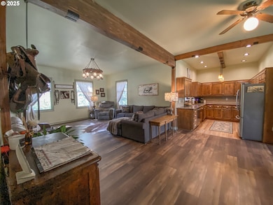
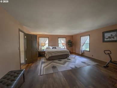
One of the finest homes in Pendleton. This elegant custom built, one-of-a-kind home is located at the top of the North Hill and commands sweeping 180-degree views of Pendleton and the Blue Mountains. Built is 1982, this home has extraordinary style and quality and at 5179 +/- Sq Ft, this home offers 5 bedrooms, 4 full baths and 2 half baths including the separate living quarters over the 3-car
Kevin Hale Coldwell Banker Farley Company