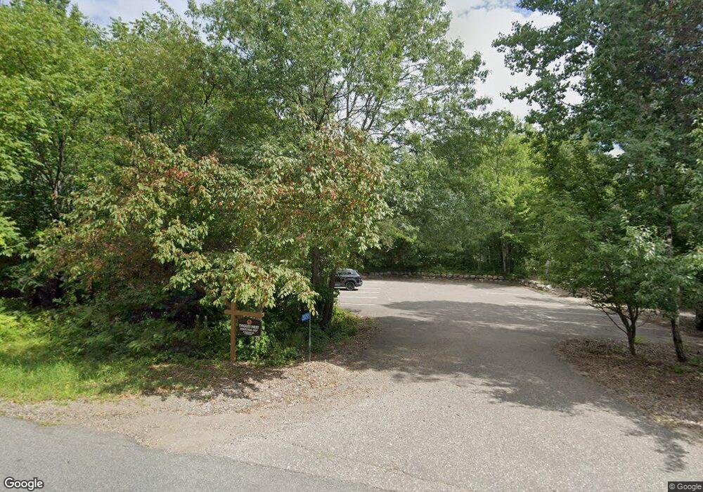
8069 Cty Rd 11 Breezy Point, MN 56472
Estimated Value: $248,000 - $298,000
1
Bed
1
Bath
1,076
Sq Ft
$258/Sq Ft
Est. Value
About This Home
This home is located at 8069 Cty Rd 11, Breezy Point, MN 56472 and is currently estimated at $278,124, approximately $258 per square foot. 8069 Cty Rd 11 is a home located in Crow Wing County with nearby schools including Eagle View Elementary School, Pequot Lakes Middle School, and Pequot Lakes Senior High School.
Ownership History
Date
Name
Owned For
Owner Type
Purchase Details
Closed on
May 3, 2024
Sold by
County Of Crow Wing
Bought by
Bpmg Llc
Current Estimated Value
Purchase Details
Closed on
Apr 22, 2024
Sold by
Leger Kathleen R
Bought by
Bpmg Llc
Purchase Details
Closed on
Mar 1, 2005
Sold by
Zauner Laura
Bought by
Leger Kathleen
Purchase Details
Closed on
May 1, 2002
Sold by
Hartwig Bryn R and Hartwig Nancy
Bought by
Zauner Laura
Purchase Details
Closed on
Mar 1, 1998
Sold by
Frolund Lavon
Bought by
Hartwig Bryn R and Hartwig N
Create a Home Valuation Report for This Property
The Home Valuation Report is an in-depth analysis detailing your home's value as well as a comparison with similar homes in the area
Home Values in the Area
Average Home Value in this Area
Purchase History
| Date | Buyer | Sale Price | Title Company |
|---|---|---|---|
| Bpmg Llc | -- | -- | |
| Bpmg Llc | -- | -- | |
| Bpmg Llc | $275,000 | Title Team-Noble Escrow | |
| Leger Kathleen | $156,000 | -- | |
| Zauner Laura | $127,500 | -- | |
| Hartwig Bryn R | $9,000 | -- |
Source: Public Records
Tax History Compared to Growth
Tax History
| Year | Tax Paid | Tax Assessment Tax Assessment Total Assessment is a certain percentage of the fair market value that is determined by local assessors to be the total taxable value of land and additions on the property. | Land | Improvement |
|---|---|---|---|---|
| 2025 | $1,474 | $171,800 | $95,300 | $76,500 |
| 2024 | $1,474 | $202,500 | $48,600 | $153,900 |
| 2023 | $1,162 | $205,500 | $49,000 | $156,500 |
| 2022 | $1,514 | $102,000 | $47,700 | $54,300 |
| 2021 | $1,530 | $102,000 | $47,700 | $54,300 |
| 2020 | $1,594 | $102,000 | $47,700 | $54,300 |
| 2019 | $1,558 | $103,300 | $47,700 | $55,600 |
| 2018 | $1,566 | $104,900 | $47,700 | $57,200 |
| 2017 | $2,214 | $105,600 | $47,700 | $57,900 |
| 2016 | $2,222 | $100,600 | $42,700 | $57,900 |
| 2015 | $2,258 | $101,200 | $42,700 | $58,500 |
| 2014 | $1,145 | $101,900 | $42,700 | $59,200 |
Source: Public Records
Map
Nearby Homes
- TBD County Road 11
- XXX County Road 11
- Lot 23-188-187 Saint Moritz Blvd
- TBD Lots 111 & 112 Terminal Rd
- Lot 8 Terminal Rd
- Lot 5, 6 & 7 Terminal Rd
- 30432 N Pinewood Dr
- 30400 N Spruce Dr
- 30422 N Spruce Dr
- 30297 N Lakeview Dr
- 30383 N Lakeview Dr
- Lot 77 Airport Rd
- 30467 N Lakeview Dr
- Lot 39 & 40 Owl Cir
- TBD Eagle Ln
- 000 Tbd
- 30482 N Lakeview Dr
- 8095 Dove St
- Lots 41-43 Catskill Dr
- 8023 Dove St
- 8060 County Road 11
- 8060 County Road 11
- 8069 County Road 11
- 330&331 County Road 11
- 30299 Terminal Rd
- 8101 County Road 11
- 30326 Red Oak Ln
- 8060 County Road 11
- 30243 Robin Ln
- 30215 Robin Ln
- 30213 Robin Ln
- 30356 Red Oak Ln
- 5 Red Oak Ln
- 30340 Terminal Rd
- 30364 Red Oak Ln
- 30364 Red Oak Ln
- 8636 Bluebird Ln
- 8636 Bluebird Ln
- 8636 Bluebird Ln
- 30196 Osceola Cir
