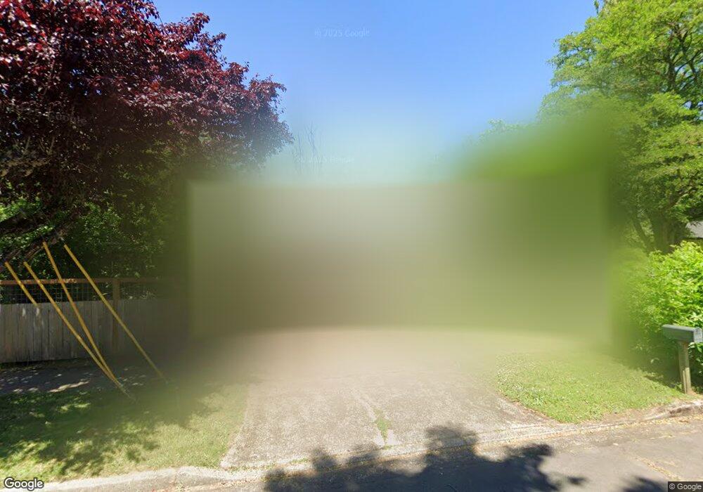
807 Clark St Eugene, OR 97402
Whiteaker NeighborhoodEstimated Value: $325,000 - $384,000
2
Beds
2
Baths
1,224
Sq Ft
$287/Sq Ft
Est. Value
About This Home
This home is located at 807 Clark St, Eugene, OR 97402 and is currently estimated at $351,530, approximately $287 per square foot. 807 Clark St is a home located in Lane County with nearby schools including River Road/El Camino del Río Elementary School, Kelly Middle School, and North Eugene High School.
Ownership History
Date
Name
Owned For
Owner Type
Purchase Details
Closed on
Mar 22, 2019
Sold by
Oneill Willaim John and Oneill Cheryl Louise
Bought by
Oneill William J and Oneill Cheryl L
Current Estimated Value
Purchase Details
Closed on
Nov 11, 2002
Sold by
Sprado Eric
Bought by
Oneill William John and Oneill Cheryl Louise
Home Financials for this Owner
Home Financials are based on the most recent Mortgage that was taken out on this home.
Original Mortgage
$25,395
Outstanding Balance
$10,384
Interest Rate
5.95%
Mortgage Type
Seller Take Back
Estimated Equity
$341,146
Purchase Details
Closed on
Jun 13, 2001
Sold by
Chopot Joseph C
Bought by
Sprado Eric
Home Financials for this Owner
Home Financials are based on the most recent Mortgage that was taken out on this home.
Original Mortgage
$85,000
Interest Rate
7.14%
Mortgage Type
Seller Take Back
Create a Home Valuation Report for This Property
The Home Valuation Report is an in-depth analysis detailing your home's value as well as a comparison with similar homes in the area
Home Values in the Area
Average Home Value in this Area
Purchase History
| Date | Buyer | Sale Price | Title Company |
|---|---|---|---|
| Oneill William J | -- | None Available | |
| Oneill William John | $119,000 | Western Title & Escrow Compa | |
| Sprado Eric | $95,000 | Western Title & Escrow Compa |
Source: Public Records
Mortgage History
| Date | Status | Borrower | Loan Amount |
|---|---|---|---|
| Open | Oneill William John | $25,395 | |
| Previous Owner | Sprado Eric | $85,000 |
Source: Public Records
Tax History
| Year | Tax Paid | Tax Assessment Tax Assessment Total Assessment is a certain percentage of the fair market value that is determined by local assessors to be the total taxable value of land and additions on the property. | Land | Improvement |
|---|---|---|---|---|
| 2025 | $2,269 | $116,439 | -- | -- |
| 2024 | $2,240 | $113,048 | -- | -- |
| 2023 | $2,240 | $109,756 | $0 | $0 |
| 2022 | $2,099 | $106,560 | $0 | $0 |
| 2021 | $1,971 | $103,457 | $0 | $0 |
| 2020 | $1,978 | $100,444 | $0 | $0 |
| 2019 | $1,911 | $97,519 | $0 | $0 |
| 2018 | $1,799 | $91,921 | $0 | $0 |
| 2017 | $1,718 | $91,921 | $0 | $0 |
| 2016 | $1,675 | $89,244 | $0 | $0 |
| 2015 | $1,627 | $86,645 | $0 | $0 |
| 2014 | $1,594 | $84,121 | $0 | $0 |
Source: Public Records
Map
Nearby Homes
- 9 N Monroe St Unit B
- 9 N Monroe St Unit D
- 9 N Monroe St Unit A
- 461 Blair Blvd
- 527 Monroe St
- 490 W 4th Ave
- 5713 Durst St
- 1030 W 5th Ave
- 427 Washington St
- 561 Madison St
- 561 577 Madison St
- 577 Madison St
- 143 Shelton McMurphey Blvd
- 147 Shelton McMurphey Blvd
- 1391 W 5th Ave
- 960 W 7th Ave
- 990 W 7th Ave
- 710 Van Buren St
- 0 W 7th Aly
- 780 Van Buren St
Your Personal Tour Guide
Ask me questions while you tour the home.