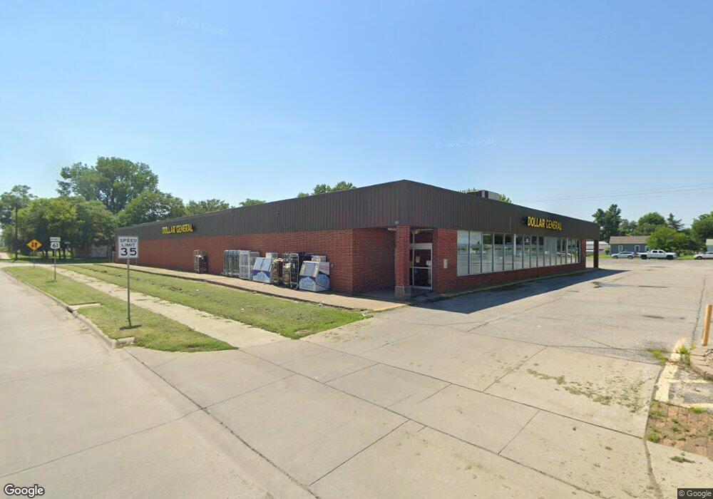
807 Grandview Ave Muscatine, IA 52761
Estimated Value: $1,166,072
--
Bed
--
Bath
19,620
Sq Ft
$59/Sq Ft
Est. Value
About This Home
This home is located at 807 Grandview Ave, Muscatine, IA 52761 and is currently estimated at $1,166,072, approximately $59 per square foot. 807 Grandview Ave is a home located in Muscatine County with nearby schools including Franklin Elementary School, Susan Clark Junior High School, and Muscatine High School.
Ownership History
Date
Name
Owned For
Owner Type
Purchase Details
Closed on
Dec 30, 2021
Sold by
Dg Partners Llc
Bought by
Pal Holding Llc
Current Estimated Value
Home Financials for this Owner
Home Financials are based on the most recent Mortgage that was taken out on this home.
Original Mortgage
$760,000
Interest Rate
3.11%
Mortgage Type
Credit Line Revolving
Purchase Details
Closed on
Sep 26, 2017
Sold by
Cefala Diana Lp
Bought by
Dg Partners Llc and Dg Partners Midwest Llc
Create a Home Valuation Report for This Property
The Home Valuation Report is an in-depth analysis detailing your home's value as well as a comparison with similar homes in the area
Home Values in the Area
Average Home Value in this Area
Purchase History
| Date | Buyer | Sale Price | Title Company |
|---|---|---|---|
| Pal Holding Llc | $950,000 | None Listed On Document | |
| Dg Partners Llc | $470,000 | Resolutions Title Inc |
Source: Public Records
Mortgage History
| Date | Status | Borrower | Loan Amount |
|---|---|---|---|
| Previous Owner | Pal Holding Llc | $760,000 |
Source: Public Records
Tax History Compared to Growth
Tax History
| Year | Tax Paid | Tax Assessment Tax Assessment Total Assessment is a certain percentage of the fair market value that is determined by local assessors to be the total taxable value of land and additions on the property. | Land | Improvement |
|---|---|---|---|---|
| 2025 | $31,154 | $994,720 | $132,710 | $862,010 |
| 2024 | $31,154 | $976,600 | $132,710 | $843,890 |
| 2023 | $27,420 | $883,940 | $132,710 | $751,230 |
| 2022 | $16,960 | $864,990 | $132,550 | $732,440 |
| 2021 | $16,960 | $582,420 | $132,550 | $449,870 |
| 2020 | $17,070 | $577,690 | $132,550 | $445,140 |
| 2019 | $17,774 | $508,830 | $0 | $0 |
Source: Public Records
Map
Nearby Homes
- 2108 Breese Ave
- LOTS 30-34 Evans St
- 1708 Schley Ave
- 111 Gilbert St
- 1903 Hershey Ave
- 1827 Hershey Ave
- 2216 New Hampshire St
- 0 Towhead Island Unit 23-716
- 1908 Sampson St
- 1909 Wallace St
- 0 Parcel 1302108019 (Busch St)
- 900 W 3rd St
- 1603 Lucas St
- 701 W Mississippi Dr
- LOT 17 Briman Prairie
- LOT 6 Pine Ridge
- LOT 4 Pine Ridge
- LOT 5 Pine Ridge
- 613 W 5th St
- 1055 Climer St
- 810 Liberty St
- 812 Liberty St
- 808 Grandview Ave
- 903 Grandview Ave
- 117 White St
- 800 Grandview Ave
- 809 Liberty St
- 911 Grandview Ave
- 709 Grandview Ave
- 807 Liberty St
- 804 Division
- 804 Division St
- 805 Liberty St
- 803 Liberty St
- 1903 Roby Ave
- 714 Grandview Ave
- 721 Liberty St
- 719 Liberty St
- 501 Division St
- 715 Liberty St