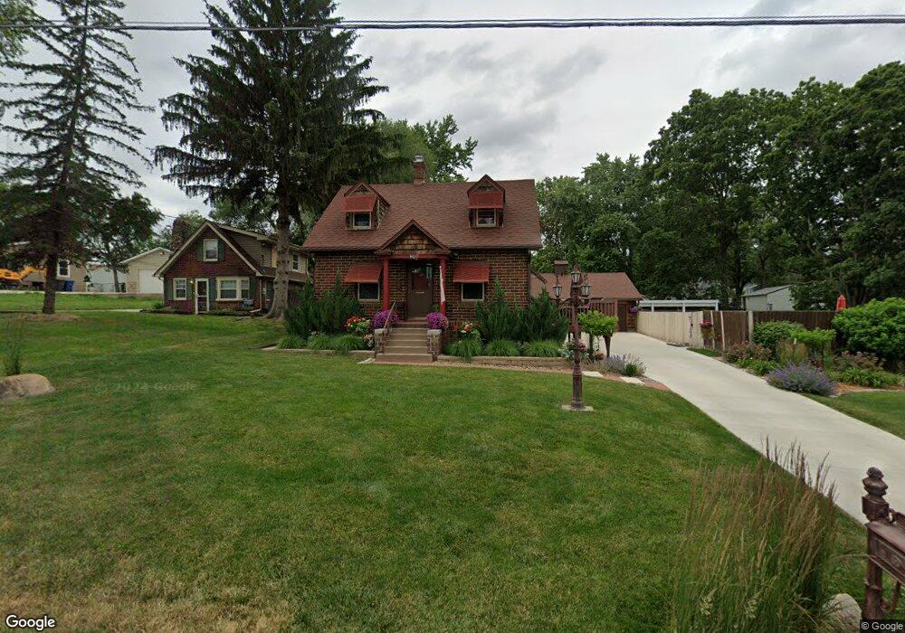
807 Philip St Des Moines, IA 50315
Watrous Heights NeighborhoodEstimated Value: $200,000 - $246,857
3
Beds
2
Baths
1,156
Sq Ft
$192/Sq Ft
Est. Value
About This Home
This home is located at 807 Philip St, Des Moines, IA 50315 and is currently estimated at $221,714, approximately $191 per square foot. 807 Philip St is a home located in Polk County with nearby schools including South Union Elementary School, Brody Middle School, and Lincoln High School.
Ownership History
Date
Name
Owned For
Owner Type
Purchase Details
Closed on
Apr 15, 2005
Sold by
Foddrill Sharon and Foddrill William
Bought by
Montinguise Dorothy
Current Estimated Value
Create a Home Valuation Report for This Property
The Home Valuation Report is an in-depth analysis detailing your home's value as well as a comparison with similar homes in the area
Home Values in the Area
Average Home Value in this Area
Purchase History
| Date | Buyer | Sale Price | Title Company |
|---|---|---|---|
| Montinguise Dorothy | -- | -- | |
| Montinguise Dorothy | -- | -- | |
| Montinguise Dorothy | -- | -- |
Source: Public Records
Tax History Compared to Growth
Tax History
| Year | Tax Paid | Tax Assessment Tax Assessment Total Assessment is a certain percentage of the fair market value that is determined by local assessors to be the total taxable value of land and additions on the property. | Land | Improvement |
|---|---|---|---|---|
| 2025 | $4,038 | $253,900 | $40,300 | $213,600 |
| 2024 | $4,038 | $222,700 | $35,100 | $187,600 |
| 2023 | $3,948 | $222,700 | $35,100 | $187,600 |
| 2022 | $3,916 | $176,400 | $28,900 | $147,500 |
| 2021 | $3,888 | $176,400 | $28,900 | $147,500 |
| 2020 | $4,034 | $164,400 | $27,000 | $137,400 |
| 2019 | $3,714 | $164,400 | $27,000 | $137,400 |
| 2018 | $3,670 | $146,700 | $23,600 | $123,100 |
| 2017 | $3,526 | $146,700 | $23,600 | $123,100 |
| 2016 | $3,430 | $138,900 | $21,900 | $117,000 |
| 2015 | $3,430 | $138,900 | $21,900 | $117,000 |
| 2014 | $3,456 | $143,900 | $22,100 | $121,800 |
Source: Public Records
Map
Nearby Homes
- 518 Maxwelton Dr
- 515 Emma Ave
- 612 Emma Ave
- 606 Marion St
- 930 Emma Ave
- 3903 SW 9th St
- 936 Mckinley Ave Unit 14
- 1109 Herold Ave
- 1204 Elder Ln
- 1116 Herold Ave
- 4108 SW 12th St
- 1207 Emma Ave
- 3712 SW 8th St
- 3811 SW 3rd St
- 115 Mckinley Ave
- 1219 Elder Ln
- 3618 SW 9th St
- 915 Wolcott Ave
- 520 Hackley Ave
- 108 E Philip St
- 809 Philip St
- 803 Philip St
- 714 Trowbridge St
- 805 Philip St
- 800 Trowbridge St
- 716 Trowbridge St
- 708 Trowbridge St
- 808 Philip St
- 802 Philip St
- 802 Trowbridge St
- 804 Philip St
- 4318 SW 7th St
- 4324 SW 7th St
- 710 Philip St
- 808 Trowbridge St
- 702 Trowbridge St
- 4307 SW 9th St
- 706 Philip St
- 4305 SW 9th St
- 4303 SW 9th St