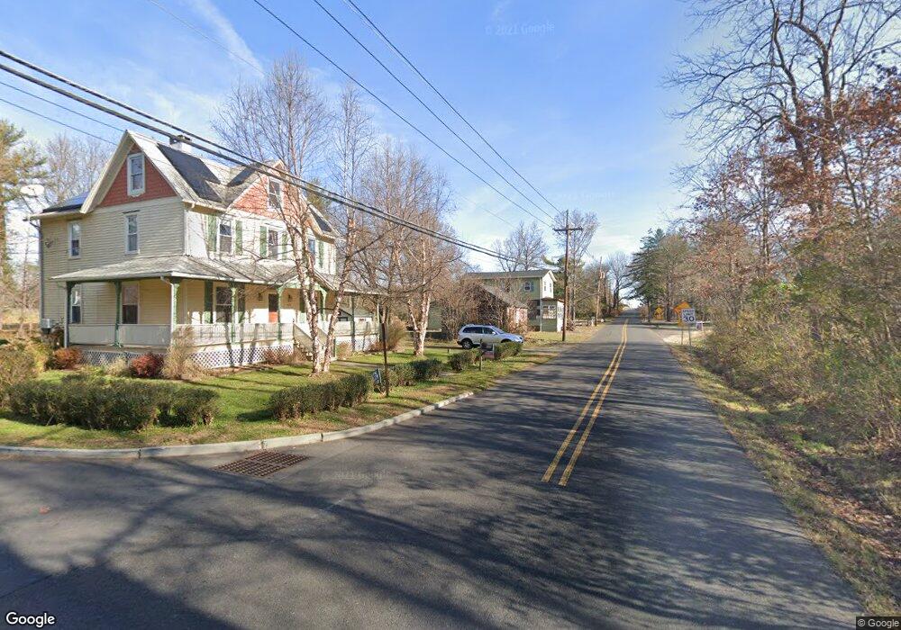
807 Route 601 Skillman, NJ 08558
Estimated Value: $617,000 - $725,000
Studio
--
Bath
1,960
Sq Ft
$344/Sq Ft
Est. Value
About This Home
This home is located at 807 Route 601, Skillman, NJ 08558 and is currently estimated at $673,302, approximately $343 per square foot. 807 Route 601 is a home located in Somerset County with nearby schools including Orchard Hill Elementary School, Village Elementary School, and Montgomery Lower Mid School.
Ownership History
Date
Name
Owned For
Owner Type
Purchase Details
Closed on
Nov 24, 2021
Sold by
Kydonieus Demetrious and Kydonieus Angela
Bought by
Demetrios Nlihelis and Demetrios Melanie Mihelis
Current Estimated Value
Home Financials for this Owner
Home Financials are based on the most recent Mortgage that was taken out on this home.
Original Mortgage
$456,000
Outstanding Balance
$418,709
Interest Rate
3.14%
Mortgage Type
New Conventional
Estimated Equity
$254,593
Purchase Details
Closed on
Sep 21, 2004
Sold by
Laskowski Joanne
Bought by
Kydonieus Demetrious and Kydonieus Angela
Home Financials for this Owner
Home Financials are based on the most recent Mortgage that was taken out on this home.
Original Mortgage
$300,000
Interest Rate
5.8%
Purchase Details
Closed on
Jun 3, 1990
Sold by
Laskowski Thomas A
Bought by
Laskowski Joanne
Create a Home Valuation Report for This Property
The Home Valuation Report is an in-depth analysis detailing your home's value as well as a comparison with similar homes in the area
Home Values in the Area
Average Home Value in this Area
Purchase History
| Date | Buyer | Sale Price | Title Company |
|---|---|---|---|
| Demetrios Nlihelis | $480,000 | Simplicity Title | |
| Kydonieus Demetrious | $350,000 | -- | |
| Laskowski Joanne | $100 | -- |
Source: Public Records
Mortgage History
| Date | Status | Borrower | Loan Amount |
|---|---|---|---|
| Open | Demetrios Nlihelis | $456,000 | |
| Previous Owner | Kydonieus Demetrious | $300,000 |
Source: Public Records
Tax History
| Year | Tax Paid | Tax Assessment Tax Assessment Total Assessment is a certain percentage of the fair market value that is determined by local assessors to be the total taxable value of land and additions on the property. | Land | Improvement |
|---|---|---|---|---|
| 2025 | $11,943 | $348,600 | $226,300 | $122,300 |
| 2024 | $11,943 | $348,600 | $226,300 | $122,300 |
Source: Public Records
Map
Nearby Homes
- 8 Bronson Way
- 48 Fairview Rd
- 45 Camp Meeting Ave
- 7 Silver Maple Ct
- 36 Saddlewood Ct
- 00 W Dutchtown Harlingen Rd
- 0 Mountain View Rd
- 1932 US Highway 206
- 64 Bedford Dr
- 11 Cortland Place
- 28 Bedford Dr
- 87 E Hartwick Dr
- 8 Comstock Ln
- 9 Winged Foot Ct
- 17 Comstock Ln
- 2 E Hartwick Dr
- 17 E Hartwick Dr
- 43 Dead Tree Run Rd
- 106 Village Dr
- 110 Village Dr
Your Personal Tour Guide
Ask me questions while you tour the home.