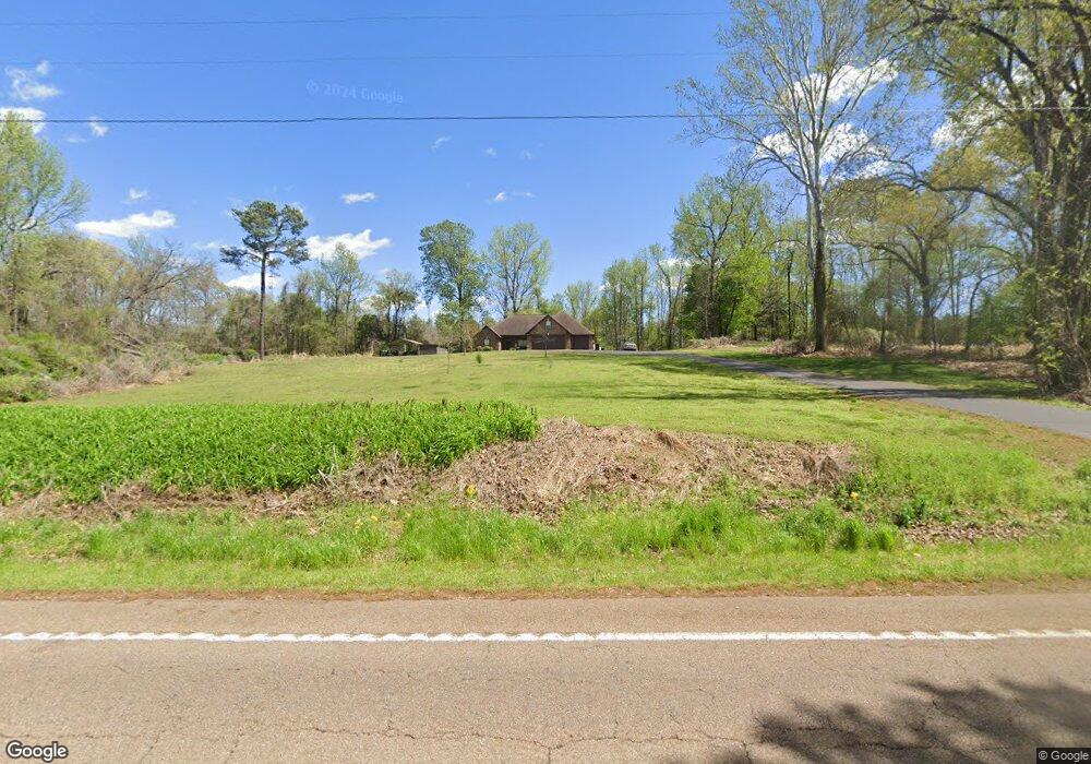
8070 Highway 70 Cedar Grove, TN 38321
Estimated Value: $156,000 - $320,000
--
Bed
--
Bath
1,552
Sq Ft
$161/Sq Ft
Est. Value
About This Home
This home is located at 8070 Highway 70, Cedar Grove, TN 38321 and is currently estimated at $250,199, approximately $161 per square foot. 8070 Highway 70 is a home with nearby schools including West Carroll Primary School, West Carroll Elementary School, and West Carroll Junior/Senior High School.
Ownership History
Date
Name
Owned For
Owner Type
Purchase Details
Closed on
Jul 29, 2024
Sold by
Gordon Phil
Bought by
Gordon Philip Kevin and Gordon Jenny Diane
Current Estimated Value
Purchase Details
Closed on
Nov 9, 2000
Sold by
Baumgardner Josephine
Bought by
Gordon Phil
Purchase Details
Closed on
Mar 22, 1957
Bought by
Baumgardner Baumgardner H and Baumgardner Josie
Create a Home Valuation Report for This Property
The Home Valuation Report is an in-depth analysis detailing your home's value as well as a comparison with similar homes in the area
Home Values in the Area
Average Home Value in this Area
Purchase History
| Date | Buyer | Sale Price | Title Company |
|---|---|---|---|
| Gordon Philip Kevin | -- | None Listed On Document | |
| Gordon Phil | $2,100 | -- | |
| Baumgardner Baumgardner H | -- | -- |
Source: Public Records
Tax History Compared to Growth
Tax History
| Year | Tax Paid | Tax Assessment Tax Assessment Total Assessment is a certain percentage of the fair market value that is determined by local assessors to be the total taxable value of land and additions on the property. | Land | Improvement |
|---|---|---|---|---|
| 2024 | $1,226 | $46,550 | $3,525 | $43,025 |
| 2023 | $1,226 | $46,550 | $3,525 | $43,025 |
| 2022 | $1,226 | $46,550 | $3,525 | $43,025 |
| 2021 | $658 | $46,550 | $3,525 | $43,025 |
| 2020 | $1,226 | $46,550 | $3,525 | $43,025 |
| 2019 | $1,122 | $38,675 | $3,525 | $35,150 |
| 2018 | $1,122 | $38,675 | $3,525 | $35,150 |
| 2017 | $1,122 | $38,675 | $3,525 | $35,150 |
| 2016 | $1,644 | $38,675 | $3,525 | $35,150 |
| 2015 | $1,160 | $38,675 | $3,525 | $35,150 |
| 2014 | $1,089 | $38,675 | $3,525 | $35,150 |
| 2013 | $1,089 | $35,247 | $0 | $0 |
Source: Public Records
Map
Nearby Homes
- 80 Water Tower Rd
- 9100 Highway 70 E
- 9115 Highway 70 E
- 9173 Tennessee 104
- 392 Howley Ln
- 398 War Eagle Dr
- 240 War Eagle Dr
- 233 Zara Spook Dr
- 80 Torpedo Ct
- 297 Zara Spook Dr
- 234 Excalibur Trail
- 139 Zara Spook Dr
- 328 Bigysmal Ln
- 237 Excalibur Trail
- 313 Logger Ln
- 102 Excalibur Trail
- 100 Excalibur Trail
- 239 Excalibur Trail
- 334 Logger Ln
- 454 Logger Ln
- 8030 Highway 70
- 8095 Highway 70
- 7910 Highway 70
- 8225 Highway 70
- 7850 Highway 70
- 7835 Highway 70
- 7835 Highway 70
- 480 Flat Bottom Rd
- 0 Flat Bottom Rd
- 565 Flat Bottom Rd
- 8495 Highway 70 E
- 8535 Highway 70
- 355 Highway 424
- 55 Highway 424 Access Rd
- 135 Highway 424 Access Rd
- 875 Highway 424
- 230 Highway 424
- 0 Us 70 Hwy Unit 3258661
- 0 Us 70 Hwy Unit 9941676
- 0 Us 70 Hwy Unit 10059006