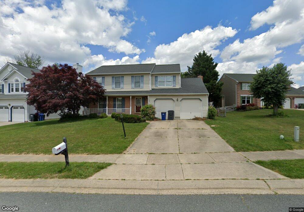
808 Diane Ct Forest Hill, MD 21050
Estimated Value: $517,000 - $601,000
--
Bed
3
Baths
2,076
Sq Ft
$260/Sq Ft
Est. Value
About This Home
This home is located at 808 Diane Ct, Forest Hill, MD 21050 and is currently estimated at $538,812, approximately $259 per square foot. 808 Diane Ct is a home located in Harford County with nearby schools including Forest Lakes Elementary School, Bel Air Middle School, and Bel Air High School.
Ownership History
Date
Name
Owned For
Owner Type
Purchase Details
Closed on
Oct 22, 2004
Sold by
Spalding Robert B
Bought by
Baker Richard M and Baker Elizabeth W
Current Estimated Value
Purchase Details
Closed on
Sep 29, 2004
Sold by
Spalding Robert B
Bought by
Baker Richard M and Baker Elizabeth W
Purchase Details
Closed on
Aug 18, 1992
Sold by
Matson Homes Inc
Bought by
Spalding Robert B
Home Financials for this Owner
Home Financials are based on the most recent Mortgage that was taken out on this home.
Original Mortgage
$144,800
Interest Rate
7.96%
Purchase Details
Closed on
Feb 12, 1992
Sold by
Osborne Winton B
Bought by
Matson Homes Inc
Create a Home Valuation Report for This Property
The Home Valuation Report is an in-depth analysis detailing your home's value as well as a comparison with similar homes in the area
Home Values in the Area
Average Home Value in this Area
Purchase History
| Date | Buyer | Sale Price | Title Company |
|---|---|---|---|
| Baker Richard M | $365,000 | -- | |
| Baker Richard M | $365,000 | -- | |
| Spalding Robert B | $181,000 | -- | |
| Matson Homes Inc | $44,500 | -- |
Source: Public Records
Mortgage History
| Date | Status | Borrower | Loan Amount |
|---|---|---|---|
| Previous Owner | Spalding Robert B | $144,800 | |
| Closed | Baker Richard M | -- |
Source: Public Records
Tax History Compared to Growth
Tax History
| Year | Tax Paid | Tax Assessment Tax Assessment Total Assessment is a certain percentage of the fair market value that is determined by local assessors to be the total taxable value of land and additions on the property. | Land | Improvement |
|---|---|---|---|---|
| 2025 | $4,172 | $396,900 | $116,500 | $280,400 |
| 2024 | $4,172 | $382,833 | $0 | $0 |
| 2023 | $4,019 | $368,767 | $0 | $0 |
| 2022 | $3,866 | $354,700 | $116,500 | $238,200 |
| 2021 | $4,031 | $352,000 | $0 | $0 |
| 2020 | $4,031 | $349,300 | $0 | $0 |
| 2019 | $4,000 | $346,600 | $119,500 | $227,100 |
| 2018 | $3,843 | $336,033 | $0 | $0 |
| 2017 | $3,722 | $346,600 | $0 | $0 |
| 2016 | $140 | $314,900 | $0 | $0 |
| 2015 | $3,619 | $311,333 | $0 | $0 |
| 2014 | $3,619 | $307,767 | $0 | $0 |
Source: Public Records
Map
Nearby Homes
- 1991 Gulfstream Ct
- 916 Delray Dr
- 105 Sunshine Ct Unit G
- 1615 Samantha Dr
- 1817 Rock Spring Rd
- 1713 Landmark Dr Unit 1L
- 1605 Samantha Dr
- 1702 Rich Way Unit 2C
- 1700 Landmark Dr Unit 1M
- 1710 Chrisara Ct
- 308 Rock Spring Church Rd
- 253 Trudy Ct
- 2139 Mardic Dr
- 1702 Lasalle Rd
- 202 Princeton Ln
- 600 Rock Spring Church Rd
- 535 Westwell Ln
- 311 Willrich Cir Unit G
- 310 Willrich Cir
- 1346 Vanderbilt Rd