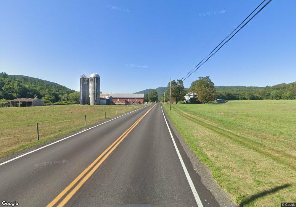
808 Route 133 West Rutland, VT 05777
Estimated Value: $146,000 - $410,000
3
Beds
2
Baths
2,348
Sq Ft
$126/Sq Ft
Est. Value
About This Home
This home is located at 808 Route 133, West Rutland, VT 05777 and is currently estimated at $295,981, approximately $126 per square foot. 808 Route 133 is a home located in Rutland County.
Create a Home Valuation Report for This Property
The Home Valuation Report is an in-depth analysis detailing your home's value as well as a comparison with similar homes in the area
Home Values in the Area
Average Home Value in this Area
Tax History Compared to Growth
Tax History
| Year | Tax Paid | Tax Assessment Tax Assessment Total Assessment is a certain percentage of the fair market value that is determined by local assessors to be the total taxable value of land and additions on the property. | Land | Improvement |
|---|---|---|---|---|
| 2024 | $2,471 | $97,400 | $30,200 | $67,200 |
| 2023 | $1,643 | $97,400 | $30,200 | $67,200 |
| 2022 | $1,923 | $97,400 | $30,200 | $67,200 |
| 2021 | $1,939 | $97,400 | $30,200 | $67,200 |
| 2020 | $1,823 | $97,400 | $30,200 | $67,200 |
| 2019 | $1,782 | $97,400 | $30,200 | $67,200 |
| 2018 | $1,839 | $97,400 | $30,200 | $67,200 |
| 2017 | $1,737 | $97,400 | $30,200 | $67,200 |
| 2016 | $1,470 | $97,400 | $30,200 | $67,200 |
Source: Public Records
Map
Nearby Homes
- 1186 Route 133
- 202 Scotts Rd Unit IRA
- 127 Clarendon Springs Ln
- 374 Pinehill Rd
- 2086 Walker Mountain Rd
- 1321 Quarterline Rd
- 865 Walker Mountain Rd
- 326 Main St
- 469 Main St
- 23 Proctor St
- 25 Proctor St
- 101 High St
- 90 Elm St
- 653 Main St
- 230 Marble St
- 888 Pleasant St
- 124 Flory Heights
- 247 Meadowcrest Dr
- 133 Otter View Dr
- 14 Anderson St
- 87 Kahle Rd Unit IRA
- 851 Route 133
- 859 Route 133 Unit IRA
- 685 Route 133
- 907 Route 133
- 934 Route 133
- 636 Route 133
- 941 Route 133
- 598 Vermont 133
- 598 Route 133
- 981 Route 133
- 797 Route 133
- 47 Weaver Hill Rd
- 1016 Vermont 133
- 500 Route 133
- 1068 Route 133 Unit IRA
- 0 Weaver Hill Rd
- 1159 Route 133
- 5 Cross Rd Unit IRA
- 195 Cross Rd
