8082 Transom Cir Unit LT 69 Ooltewah, TN 37363
Estimated Value: $619,000 - $713,000
--
Bed
--
Bath
2,566
Sq Ft
$259/Sq Ft
Est. Value
About This Home
This home is located at 8082 Transom Cir Unit LT 69, Ooltewah, TN 37363 and is currently estimated at $663,832, approximately $258 per square foot. 8082 Transom Cir Unit LT 69 is a home located in Hamilton County with nearby schools including Ooltewah Elementary School, Hunter Middle School, and Ooltewah High School.
Ownership History
Date
Name
Owned For
Owner Type
Purchase Details
Closed on
Oct 23, 2019
Sold by
Marsh William E and Marsh Nancy L
Bought by
Green Bobby and Green Brenda
Current Estimated Value
Purchase Details
Closed on
Nov 21, 2013
Sold by
Pratt & Associates Llc
Bought by
Pratt Homebuilders Ii Llc
Purchase Details
Closed on
Feb 8, 2012
Sold by
Firstbank
Bought by
Pratt & Associates Llc
Purchase Details
Closed on
Dec 3, 2009
Sold by
D & M Properties Llp
Bought by
First Bank
Create a Home Valuation Report for This Property
The Home Valuation Report is an in-depth analysis detailing your home's value as well as a comparison with similar homes in the area
Home Values in the Area
Average Home Value in this Area
Purchase History
| Date | Buyer | Sale Price | Title Company |
|---|---|---|---|
| Green Bobby | $375,000 | None Available | |
| Pratt Homebuilders Ii Llc | -- | None Available | |
| Pratt & Associates Llc | $770,000 | None Available | |
| First Bank | $2,036,452 | None Available |
Source: Public Records
Tax History Compared to Growth
Tax History
| Year | Tax Paid | Tax Assessment Tax Assessment Total Assessment is a certain percentage of the fair market value that is determined by local assessors to be the total taxable value of land and additions on the property. | Land | Improvement |
|---|---|---|---|---|
| 2024 | $2,643 | $118,125 | $0 | $0 |
| 2023 | $2,652 | $118,125 | $0 | $0 |
| 2022 | $2,652 | $118,125 | $0 | $0 |
| 2021 | $2,652 | $118,125 | $0 | $0 |
| 2020 | $2,532 | $91,225 | $0 | $0 |
| 2019 | $2,532 | $91,225 | $0 | $0 |
| 2018 | $2,532 | $91,225 | $0 | $0 |
| 2017 | $2,532 | $91,225 | $0 | $0 |
| 2016 | $2,451 | $0 | $0 | $0 |
| 2015 | $2,451 | $88,325 | $0 | $0 |
| 2014 | $1,531 | $0 | $0 | $0 |
Source: Public Records
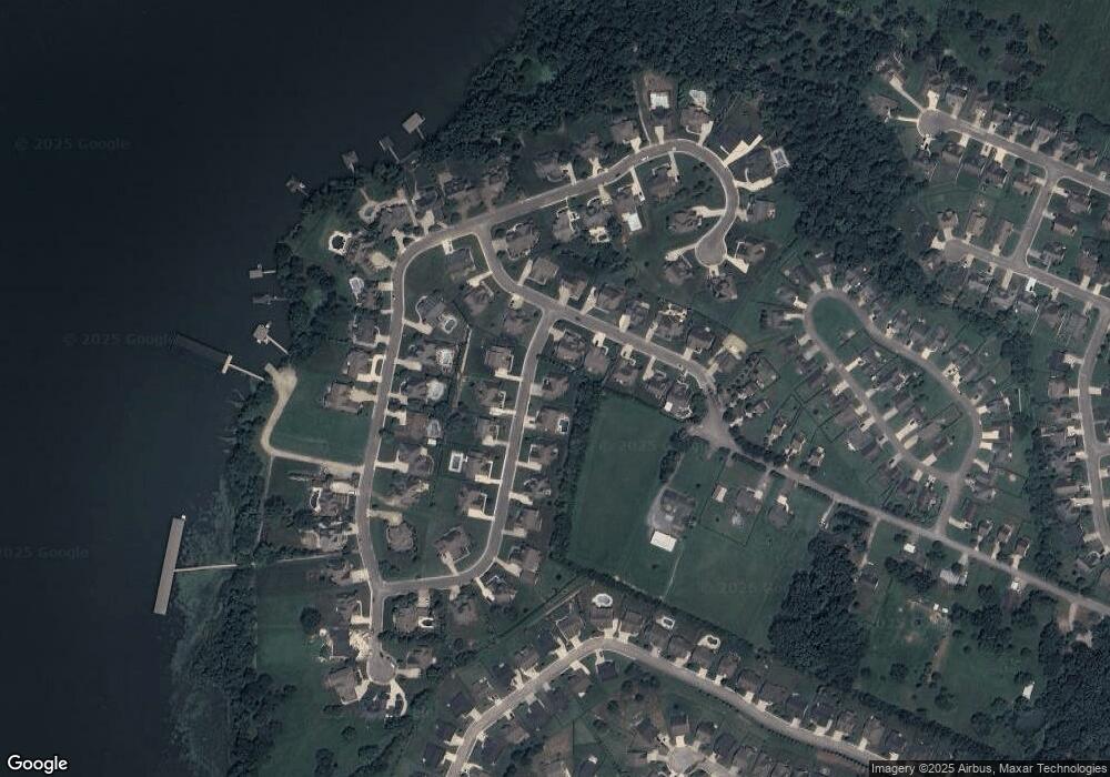
Map
Nearby Homes
- 8109 Propeller Dr
- 8366 Gracie Mac Ln
- 7904 Frostwood Ln
- 8425 Dakota Sky Way
- 8398 Skybrook Dr
- 7925 Frostwood Ln
- 7980 Frostwood Ln
- 8502 Kennerly Ct
- 8460 Kennerly Ct
- 8594 Kennerly Ct
- 8602 Kennerly Ct
- 8104 Watercolour Ln
- 8099 Watercolour Ln
- 8756 Grey Reed Dr
- 8107 Watercolour Ln
- 8149 Watercolour Ln
- 8381 Lake Scene Ct
- 8369 Lake Scene Ct
- The Langford Plan at Wind Haven
- The Buford II Plan at Wind Haven
- 8082 Transom Cir
- 8086 Transom Cir
- 8086 Transom Cir Unit 68
- 8068 Transom Cir
- 8094 Transom Cir
- 8134 Propeller Dr
- 8134 Propeller Dr Unit 70
- 8146 Propeller Dr
- 8146 Propeller Dr Unit LT 71
- 8154 Propeller Dr
- 8154 Propeller Dr Unit 72
- 8056 Transom Cir
- 8056 Transom Cir Unit LT 67
- 8083 Transom Cir
- 8083 Transom Cir Unit 56
- 8071 Transom Cir
- 8071 Transom Cir Unit 57
- 8120 Propeller Dr
- 8120 Propeller Dr Unit LT 55
- 8059 Transom Cir