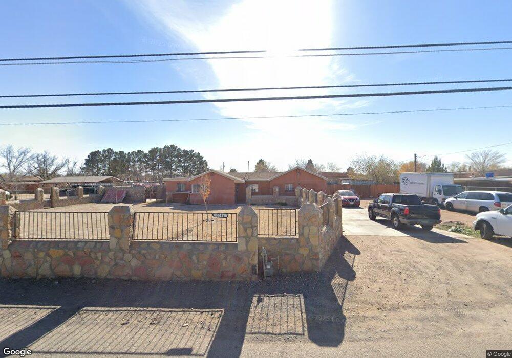
8084 Starr Ave El Paso, TX 79907
Shawver Park NeighborhoodEstimated Value: $162,000 - $205,000
3
Beds
1
Bath
1,709
Sq Ft
$109/Sq Ft
Est. Value
About This Home
This home is located at 8084 Starr Ave, El Paso, TX 79907 and is currently estimated at $186,411, approximately $109 per square foot. 8084 Starr Ave is a home located in El Paso County with nearby schools including Pasodale Elementary School, Rio Bravo Middle School, and Ysleta Middle School.
Ownership History
Date
Name
Owned For
Owner Type
Purchase Details
Closed on
May 20, 2016
Sold by
Vasquez Ricardo R and Vasquez Ernestina
Bought by
Vasquez Victoria
Current Estimated Value
Purchase Details
Closed on
Oct 27, 2009
Sold by
Herbold Dean and Herbold Gale
Bought by
Vasquez Richard and Vasquez Ernestina
Purchase Details
Closed on
Dec 10, 2007
Sold by
Herbold Dean
Bought by
Vasquez Ricardo and Vasquez Ernestina
Purchase Details
Closed on
Jul 9, 2004
Sold by
Herbold Dean
Bought by
Herbold Dean and Herbold Gale
Purchase Details
Closed on
Jun 18, 2004
Sold by
Herbold Gale
Bought by
Herbold Dean
Create a Home Valuation Report for This Property
The Home Valuation Report is an in-depth analysis detailing your home's value as well as a comparison with similar homes in the area
Home Values in the Area
Average Home Value in this Area
Purchase History
| Date | Buyer | Sale Price | Title Company |
|---|---|---|---|
| Vasquez Victoria | -- | None Available | |
| Vasquez Richard | -- | None Available | |
| Vasquez Ricardo | -- | None Available | |
| Herbold Dean | -- | -- | |
| Herbold Dean | -- | -- |
Source: Public Records
Tax History Compared to Growth
Tax History
| Year | Tax Paid | Tax Assessment Tax Assessment Total Assessment is a certain percentage of the fair market value that is determined by local assessors to be the total taxable value of land and additions on the property. | Land | Improvement |
|---|---|---|---|---|
| 2025 | $1,599 | $120,427 | -- | -- |
| 2024 | $1,599 | $109,479 | -- | -- |
| 2023 | $1,558 | $99,526 | $0 | $0 |
| 2022 | $2,810 | $90,478 | $0 | $0 |
| 2021 | $2,674 | $82,253 | $14,607 | $67,646 |
| 2020 | $2,396 | $75,861 | $14,607 | $61,254 |
| 2018 | $2,307 | $74,193 | $14,607 | $59,586 |
| 2017 | $2,189 | $71,612 | $14,607 | $57,005 |
| 2016 | $2,189 | $71,612 | $14,607 | $57,005 |
| 2015 | $2,049 | $71,612 | $14,607 | $57,005 |
| 2014 | $2,049 | $71,612 | $14,607 | $57,005 |
Source: Public Records
Map
Nearby Homes
- 8141 Lowd Ave
- 578 Cora Place
- 8250 Mc Elroy Ave
- 8162 Josephine Cir
- 8165 Josephine Cir
- 7840 Mansfield Ave
- 227 Galvan Place
- 261 Columbia Ave
- 8041 Broadway Dr
- 7920 Porche St
- 7925 Broadway Dr
- 7952 Broadway Dr
- 8405 Pinon St
- 228 Harvard Ave
- 7860 Porche St
- 7874 Broadway Dr
- 7907 Alameda Ave
- 8434 Villanova Dr
- 8339 White Rd
- 7807 Porche St
- 0 Fresno Unit 511541
- 0 Fresno Unit 577861
- 8104 Starr Ave
- 8066 Starr Ave
- 8081 Starr Ave
- 8089 Starr Ave
- 8073 8073 Ave
- 8049 Starr Ave
- 462 Fresno Dr
- 8106 Starr Ave
- 8106 Starr Ave
- 8115 La Paloma Cir
- 8117 La Paloma Cir
- 8113 La Paloma Cir
- 8119 La Paloma Cir
- 8048 Starr Ave
- 8103 Starr Ave
- 8121 La Paloma Cir
- 524 Schwabe St
- 8111 La Paloma Cir