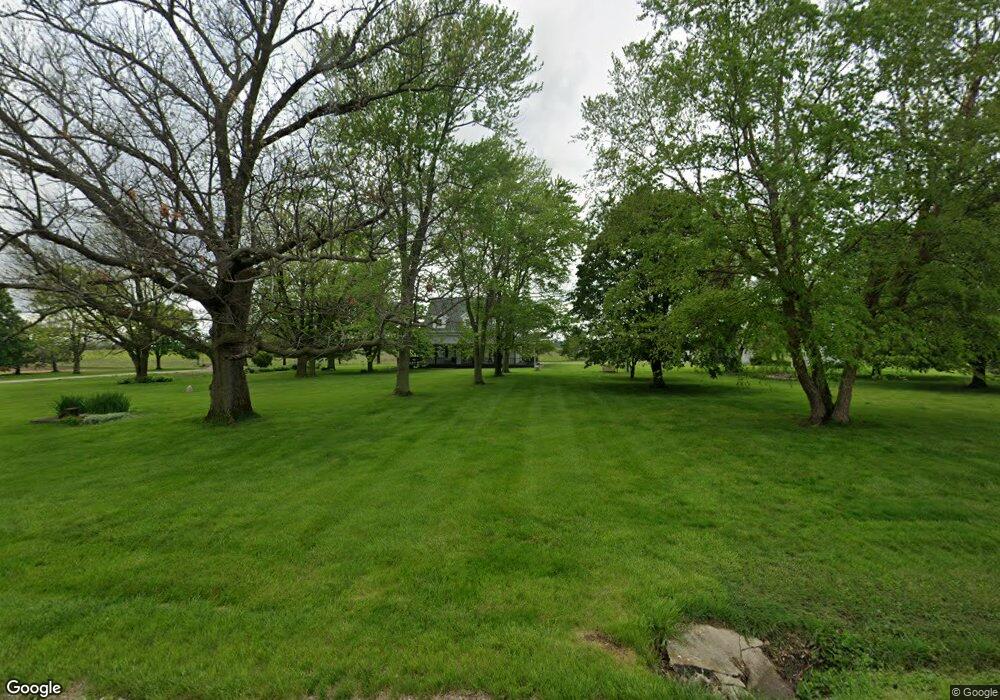
8089 Pleasant View Rd Blue Mound, IL 62513
Estimated Value: $263,000 - $314,000
4
Beds
4
Baths
2,808
Sq Ft
$101/Sq Ft
Est. Value
About This Home
This home is located at 8089 Pleasant View Rd, Blue Mound, IL 62513 and is currently estimated at $284,876, approximately $101 per square foot. 8089 Pleasant View Rd is a home located in Macon County with nearby schools including Meridian Middle School and Meridian High School.
Ownership History
Date
Name
Owned For
Owner Type
Purchase Details
Closed on
Dec 21, 2006
Sold by
Lathrop Nolan
Bought by
Thomas Bretta A and Thomas Kia A
Current Estimated Value
Home Financials for this Owner
Home Financials are based on the most recent Mortgage that was taken out on this home.
Original Mortgage
$172,000
Outstanding Balance
$102,607
Interest Rate
6.27%
Mortgage Type
New Conventional
Estimated Equity
$182,269
Purchase Details
Closed on
Dec 15, 2006
Sold by
Kenway Farm Inc
Bought by
Thomas Brentt A and Thomas Kia A
Home Financials for this Owner
Home Financials are based on the most recent Mortgage that was taken out on this home.
Original Mortgage
$172,000
Outstanding Balance
$102,607
Interest Rate
6.27%
Mortgage Type
New Conventional
Estimated Equity
$182,269
Purchase Details
Closed on
Mar 21, 2006
Sold by
Brooks Kenneth
Bought by
The Cit Group Consumer Financial Inc
Create a Home Valuation Report for This Property
The Home Valuation Report is an in-depth analysis detailing your home's value as well as a comparison with similar homes in the area
Home Values in the Area
Average Home Value in this Area
Purchase History
| Date | Buyer | Sale Price | Title Company |
|---|---|---|---|
| Thomas Bretta A | $205,000 | None Available | |
| Thomas Brentt A | $10,000 | None Available | |
| The Cit Group Consumer Financial Inc | -- | None Available |
Source: Public Records
Mortgage History
| Date | Status | Borrower | Loan Amount |
|---|---|---|---|
| Open | Thomas Bretta A | $172,000 |
Source: Public Records
Tax History Compared to Growth
Tax History
| Year | Tax Paid | Tax Assessment Tax Assessment Total Assessment is a certain percentage of the fair market value that is determined by local assessors to be the total taxable value of land and additions on the property. | Land | Improvement |
|---|---|---|---|---|
| 2024 | $4,748 | $74,630 | $10,641 | $63,989 |
| 2023 | $4,438 | $67,667 | $9,648 | $58,019 |
| 2022 | $4,139 | $61,441 | $8,760 | $52,681 |
| 2021 | $4,073 | $58,361 | $8,321 | $50,040 |
| 2020 | $3,895 | $54,997 | $7,841 | $47,156 |
| 2019 | $3,895 | $54,997 | $7,841 | $47,156 |
| 2018 | $3,777 | $53,692 | $7,655 | $46,037 |
| 2017 | $3,784 | $53,918 | $7,687 | $46,231 |
| 2016 | $3,815 | $53,854 | $7,678 | $46,176 |
| 2015 | $3,672 | $52,285 | $7,454 | $44,831 |
| 2014 | $3,531 | $51,767 | $7,380 | $44,387 |
| 2013 | $3,676 | $51,767 | $7,380 | $44,387 |
Source: Public Records
Map
Nearby Homes
- 1955 E 2700 Rd N
- 117 S Sunnyside Dr
- 3335 Nevada Rd
- 1359 S Bridge Rd
- 275 W Cole St
- 206 W Andrews St
- 161 N Front St
- 2951 Blackstone Dr
- 375 E Cook St
- 309 E Temple St
- 124 Robin Dr
- 116 E Center St
- 3031 Heritage Rd
- 204 S Broad St
- 0 W Wood St
- 105 S Maple St
- 310 S Pine St
- 275 N Camp St
- 7450 W William St
- 0 W Harristown Blvd Unit 6251050