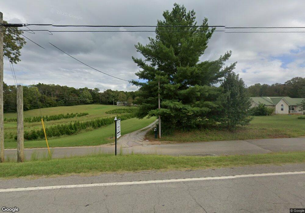
809 Byars Rd McMinnville, TN 37110
Estimated Value: $179,000 - $287,000
--
Bed
1
Bath
2,296
Sq Ft
$109/Sq Ft
Est. Value
About This Home
This home is located at 809 Byars Rd, McMinnville, TN 37110 and is currently estimated at $249,738, approximately $108 per square foot. 809 Byars Rd is a home located in Warren County with nearby schools including Irving College Elementary School, Warren County High School, and Westwood Day School.
Ownership History
Date
Name
Owned For
Owner Type
Purchase Details
Closed on
Dec 20, 2019
Sold by
Jennings Ronnie L
Bought by
Jennings Danessa
Current Estimated Value
Purchase Details
Closed on
Oct 28, 2002
Sold by
Federal Home Loan Mortgage Corporation
Bought by
Jennings Ronnie L and Jennings France
Purchase Details
Closed on
May 16, 2002
Sold by
Erin Lance
Bought by
Washington Mutual Bank
Purchase Details
Closed on
Mar 8, 2001
Sold by
Hiter Joseph W and Hiter Eva P
Bought by
Erin Lance
Purchase Details
Closed on
Mar 6, 2001
Bought by
Lance Erin and Lance William
Purchase Details
Closed on
Apr 14, 1982
Bought by
Hiter Joseph W and Hiter Eva
Create a Home Valuation Report for This Property
The Home Valuation Report is an in-depth analysis detailing your home's value as well as a comparison with similar homes in the area
Home Values in the Area
Average Home Value in this Area
Purchase History
| Date | Buyer | Sale Price | Title Company |
|---|---|---|---|
| Jennings Danessa | -- | -- | |
| Jennings Ronnie L | $37,000 | -- | |
| Washington Mutual Bank | $67,163 | -- | |
| Erin Lance | $84,900 | -- | |
| Lance Erin | $64,900 | -- | |
| Hiter Joseph W | -- | -- |
Source: Public Records
Tax History Compared to Growth
Tax History
| Year | Tax Paid | Tax Assessment Tax Assessment Total Assessment is a certain percentage of the fair market value that is determined by local assessors to be the total taxable value of land and additions on the property. | Land | Improvement |
|---|---|---|---|---|
| 2024 | $745 | $37,850 | $7,600 | $30,250 |
| 2023 | $745 | $37,850 | $7,600 | $30,250 |
| 2022 | $745 | $37,850 | $7,600 | $30,250 |
| 2021 | $745 | $37,850 | $7,600 | $30,250 |
| 2020 | $301 | $37,850 | $7,600 | $30,250 |
| 2019 | $706 | $31,450 | $6,075 | $25,375 |
| 2018 | $301 | $15,300 | $6,075 | $9,225 |
| 2017 | $301 | $15,300 | $6,075 | $9,225 |
| 2016 | $301 | $15,300 | $6,075 | $9,225 |
| 2015 | $305 | $15,300 | $6,075 | $9,225 |
| 2014 | $281 | $15,300 | $6,075 | $9,225 |
| 2013 | $281 | $14,059 | $0 | $0 |
Source: Public Records
Map
Nearby Homes
- 0 Safley Hollow Rd
- 400 Collins Run
- 0 Collins Run Unit RTC2986421
- 161 Collins Run
- 199 Cojohodo Ct
- 735 Northcutt Cove Rd
- 770 Hill Rd
- 3216 Beersheba Hwy
- 250 Justin Ln
- 2548 Stone Man Rd
- 0 Wash Roberts Rd Unit RTC2791678
- 0 Nunley Ln
- 0 Shellsford Rd Unit RTC2904668
- 7 Long Mountain Rd
- 0 Long Mountain Rd Unit RTC3015137
- 415 Nannies Ln
- 86 Woodlee Trail
- 0 Tennessee 8
- 87 Woodlee Ct
- 00 Wildwood Rd
- 5869 Beersheba Hwy
- 771 Byars Rd
- 5765 Beersheba Hwy
- 5902 Beersheba Hwy
- 742 Byars Rd
- 722 Byars Rd
- 5930 Beersheba Hwy
- 5655 Beersheba Hwy
- 100 Boyd Rd
- 5840 Beersheba Hwy
- 545 Byars Rd
- 6125 Beersheba Hwy
- 5585 Beersheba Hwy
- 185 Bennett Ln
- 5598 Beersheba Hwy
- 491 Byars Rd
- 6144 Beersheba Hwy
- 5566 Beersheba Hwy
- 5545 Beersheba Hwy
- 6201 Beersheba Hwy