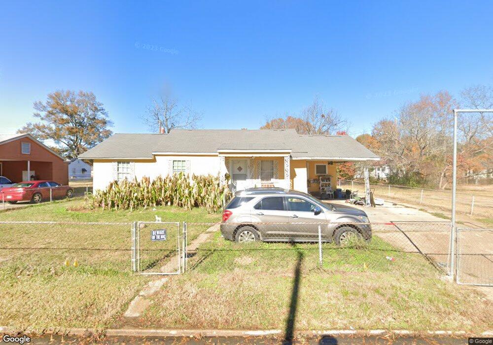
809 James St West Point, MS 39773
Estimated Value: $87,000 - $121,000
2
Beds
--
Bath
1,176
Sq Ft
$85/Sq Ft
Est. Value
About This Home
This home is located at 809 James St, West Point, MS 39773 and is currently estimated at $100,311, approximately $85 per square foot. 809 James St is a home located in Clay County with nearby schools including East Side Elementary School, West Clay Elementary School, and Church Hill Elementary School.
Ownership History
Date
Name
Owned For
Owner Type
Purchase Details
Closed on
May 16, 2024
Sold by
Southern Retail Dev Llc
Bought by
Mc & J Investments Llc
Current Estimated Value
Home Financials for this Owner
Home Financials are based on the most recent Mortgage that was taken out on this home.
Original Mortgage
$117,568
Interest Rate
6.82%
Mortgage Type
Construction
Purchase Details
Closed on
Mar 23, 2005
Sold by
Rubin Lublin Llc
Bought by
Southern Retail Development Llc and Mckinney
Create a Home Valuation Report for This Property
The Home Valuation Report is an in-depth analysis detailing your home's value as well as a comparison with similar homes in the area
Purchase History
| Date | Buyer | Sale Price | Title Company |
|---|---|---|---|
| Mc & J Investments Llc | -- | None Listed On Document | |
| Southern Retail Development Llc | $26,527 | None Listed On Document |
Source: Public Records
Mortgage History
| Date | Status | Borrower | Loan Amount |
|---|---|---|---|
| Closed | Mc & J Investments Llc | $117,568 |
Source: Public Records
Tax History
| Year | Tax Paid | Tax Assessment Tax Assessment Total Assessment is a certain percentage of the fair market value that is determined by local assessors to be the total taxable value of land and additions on the property. | Land | Improvement |
|---|---|---|---|---|
| 2025 | $420 | $7,753 | $900 | $6,853 |
| 2024 | $420 | $7,753 | $900 | $6,853 |
| 2023 | $968 | $6,468 | $900 | $5,568 |
| 2022 | $356 | $6,468 | $900 | $5,568 |
| 2021 | $353 | $6,468 | $900 | $5,568 |
| 2020 | $91 | $4,278 | $600 | $3,678 |
| 2019 | $91 | $4,278 | $600 | $3,678 |
| 2018 | $0 | $4,278 | $600 | $3,678 |
| 2017 | $0 | $4,278 | $600 | $3,678 |
| 2016 | -- | $4,278 | $600 | $3,678 |
| 2015 | -- | $3,853 | $600 | $3,253 |
| 2014 | $91 | $3,853 | $600 | $3,253 |
| 2013 | $91 | $3,853 | $600 | $3,253 |
Source: Public Records
Map
Nearby Homes
- 530 E Morrow St
- 761 E Morrow St
- 27045 E Main St
- 26596 E Main St
- 26852 E Main St
- 26788 E Main St
- 123 Cottrell St
- 218 Lewellen St
- 551 E Westbrook St
- 341 Mccord St
- 913 E Westbrook St
- 184 Tournament St
- 238 Calhoun St
- 237 Guyton Cir
- 228 Mccord St
- 13 Cul de Sac St
- 33 Court
- 105 Converse Dr
- 228 S Division St
- 507 S Eshman Ave
Your Personal Tour Guide
Ask me questions while you tour the home.