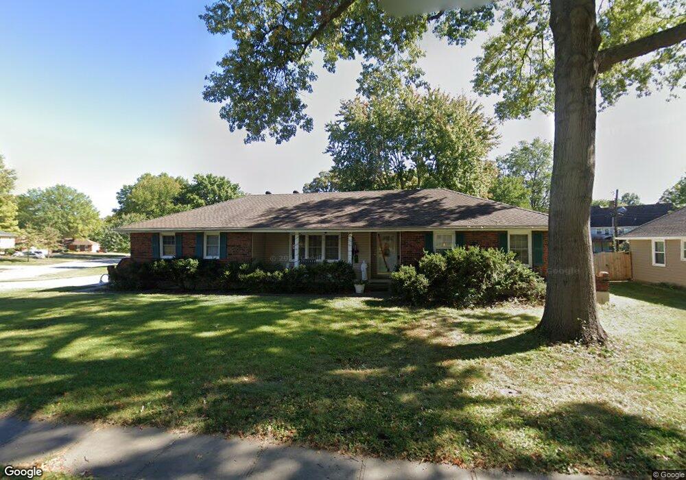
809 N Apache Dr Independence, MO 64056
Randall NeighborhoodEstimated Value: $257,000 - $279,000
3
Beds
2
Baths
1,387
Sq Ft
$193/Sq Ft
Est. Value
About This Home
This home is located at 809 N Apache Dr, Independence, MO 64056 and is currently estimated at $268,336, approximately $193 per square foot. 809 N Apache Dr is a home located in Jackson County with nearby schools including Randall Elementary School, Bridger Middle School, and Bingham Middle School.
Ownership History
Date
Name
Owned For
Owner Type
Purchase Details
Closed on
Aug 27, 2004
Sold by
Titus Michael D and Titus Cheryl L
Bought by
Hagins John G and Hagins Sharrye M
Current Estimated Value
Home Financials for this Owner
Home Financials are based on the most recent Mortgage that was taken out on this home.
Original Mortgage
$123,068
Outstanding Balance
$61,352
Interest Rate
6.08%
Mortgage Type
Purchase Money Mortgage
Estimated Equity
$206,984
Purchase Details
Closed on
Apr 30, 2001
Sold by
Maupin Gloria
Bought by
Titus Michael D and Titus Cheryl L
Home Financials for this Owner
Home Financials are based on the most recent Mortgage that was taken out on this home.
Original Mortgage
$119,000
Interest Rate
6.89%
Mortgage Type
Purchase Money Mortgage
Create a Home Valuation Report for This Property
The Home Valuation Report is an in-depth analysis detailing your home's value as well as a comparison with similar homes in the area
Home Values in the Area
Average Home Value in this Area
Purchase History
| Date | Buyer | Sale Price | Title Company |
|---|---|---|---|
| Hagins John G | -- | Security Land Title Company | |
| Titus Michael D | -- | Chicago Title Co |
Source: Public Records
Mortgage History
| Date | Status | Borrower | Loan Amount |
|---|---|---|---|
| Open | Hagins John G | $123,068 | |
| Previous Owner | Titus Michael D | $119,000 | |
| Closed | Hagins John G | $30,768 |
Source: Public Records
Tax History
| Year | Tax Paid | Tax Assessment Tax Assessment Total Assessment is a certain percentage of the fair market value that is determined by local assessors to be the total taxable value of land and additions on the property. | Land | Improvement |
|---|---|---|---|---|
| 2025 | $2,369 | $39,330 | $5,989 | $33,341 |
| 2024 | $2,316 | $34,200 | $6,253 | $27,947 |
| 2023 | $2,316 | $34,200 | $6,253 | $27,947 |
| 2022 | $2,217 | $30,020 | $5,928 | $24,092 |
| 2021 | $2,217 | $30,020 | $5,928 | $24,092 |
| 2020 | $2,035 | $26,773 | $5,928 | $20,845 |
| 2019 | $2,002 | $26,773 | $5,928 | $20,845 |
| 2018 | $2,084 | $26,609 | $5,707 | $20,902 |
| 2016 | $2,052 | $25,943 | $4,893 | $21,050 |
Source: Public Records
Map
Nearby Homes
- 809 N Swope Dr
- 801 N Redwood Dr
- 803 N Yuma Ave
- 0 Bundschu Rd Unit HMS2577360
- 17301 E Cheyenne Dr
- 827 N Choctaw Ave
- 829 N Choctaw Ave
- 17293 E Cheyenne Dr
- 1113 N Swope Dr
- 1116 N Swope Dr
- 18001 E 12th St N
- 18508 E 8th St N
- 1207 N Atherton Rd
- 834 N Ponca Dr
- 18404 E Blackhawk Trail
- 17301 E Kentucky Rd
- 18609 E Bundschu Place
- 18699 E Bundschu Rd
- 18602 E 6th St N
- 18505 E 5th St N
- 805 N Apache Dr
- 808 N Apache Dr
- 17703 E Redwood Dr
- 806 N Apache Dr
- 725 N Redwood Dr
- 17700 E Redwood Dr
- 17704 E Dakota Dr
- 17700 E Dakota Dr
- 804 N Apache Dr
- 17704 E Redwood Dr
- 814 N Apache Dr
- 727 N Redwood Dr
- 807 N Swope Dr
- 813 N Apache Dr
- 801 N Apache Dr
- 17712 E Dakota Dr
- 802 N Apache Dr
- 17707 E Redwood Dr
- 805 N Swope Dr
- 816 N Apache Dr
Your Personal Tour Guide
Ask me questions while you tour the home.