Estimated Value: $228,196 - $252,000
4
Beds
2
Baths
1,374
Sq Ft
$175/Sq Ft
Est. Value
About This Home
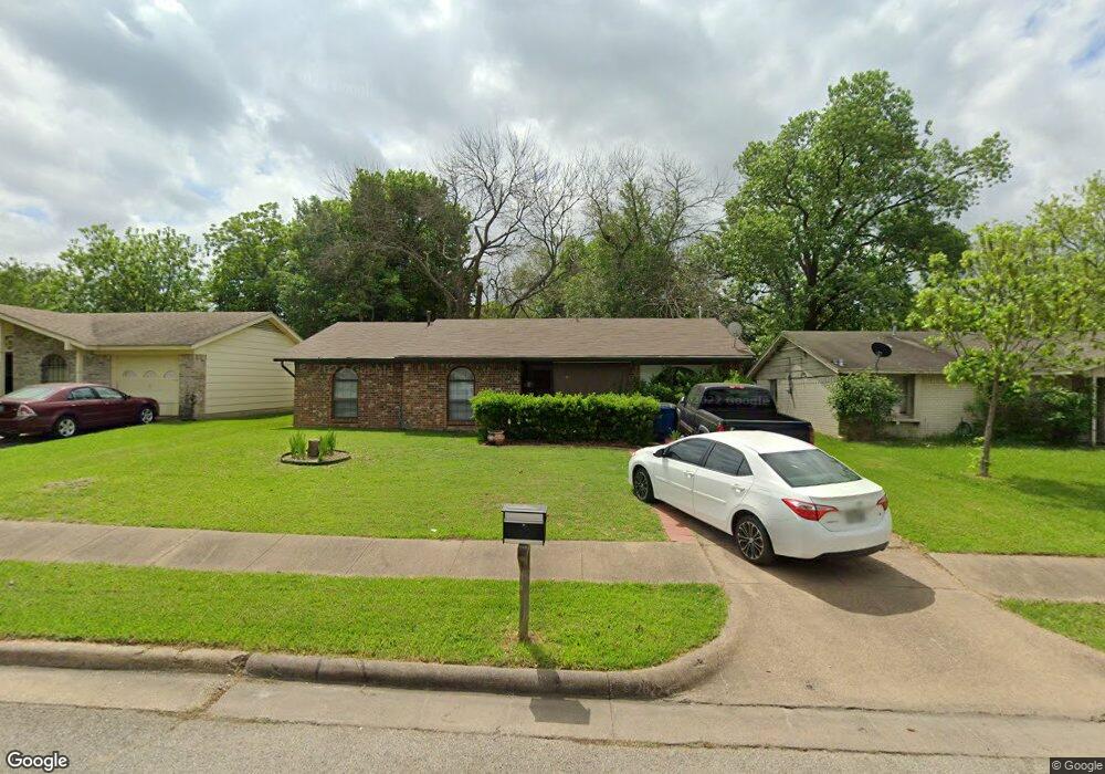
This home is located at 809 Phillips Dr, Ennis, TX 75119 and is currently estimated at $240,098, approximately $174 per square foot. 809 Phillips Dr is a home located in Ellis County with nearby schools including Austin Elementary School, Dorie Miller Int, and Ennis Junior High School.
Ownership History
Date
Name
Owned For
Owner Type
Purchase Details
Closed on
Nov 14, 2017
Sold by
Pechal Tommy L and Pechal Kimberly A
Bought by
Roberts Mary F
Current Estimated Value
Home Financials for this Owner
Home Financials are based on the most recent Mortgage that was taken out on this home.
Original Mortgage
$126,100
Outstanding Balance
$105,666
Interest Rate
3.85%
Mortgage Type
New Conventional
Estimated Equity
$134,432
Create a Home Valuation Report for This Property
The Home Valuation Report is an in-depth analysis detailing your home's value as well as a comparison with similar homes in the area
Home Values in the Area
Average Home Value in this Area
Purchase History
| Date | Buyer | Sale Price | Title Company |
|---|---|---|---|
| Roberts Mary F | -- | Providence Title Company |
Source: Public Records
Mortgage History
| Date | Status | Borrower | Loan Amount |
|---|---|---|---|
| Open | Roberts Mary F | $126,100 |
Source: Public Records
Tax History Compared to Growth
Tax History
| Year | Tax Paid | Tax Assessment Tax Assessment Total Assessment is a certain percentage of the fair market value that is determined by local assessors to be the total taxable value of land and additions on the property. | Land | Improvement |
|---|---|---|---|---|
| 2025 | $1,350 | $214,928 | $55,000 | $159,928 |
| 2024 | $1,350 | $195,950 | -- | -- |
| 2023 | $1,350 | $178,136 | $0 | $0 |
| 2022 | $3,876 | $161,942 | $0 | $0 |
| 2021 | $3,706 | $147,220 | $20,000 | $127,220 |
| 2020 | $3,475 | $135,020 | $20,000 | $115,020 |
| 2019 | $3,565 | $137,100 | $0 | $0 |
| 2018 | $2,433 | $123,660 | $22,000 | $101,660 |
| 2017 | $2,258 | $88,210 | $22,000 | $66,210 |
| 2016 | $2,053 | $78,050 | $18,000 | $60,050 |
| 2015 | $1,407 | $72,700 | $18,000 | $54,700 |
| 2014 | $1,407 | $63,960 | $0 | $0 |
Source: Public Records
Map
Nearby Homes
- 1002 Hoylake Ct
- 2810 Belmont Dr
- 707 Oakmont Dr
- 801 Woodcrest Dr
- 2308 Louise Ln
- 717 Woodcrest Dr
- 000 Sleepy Hollow Rd
- 2800 Boyd St
- 2410 Linda Dr
- Lavon Plan at The Hollow
- Bowie Plan at The Hollow
- San Gabriel II Plan at The Hollow
- Cascade II Plan at The Hollow
- Bailey Plan at The Hollow
- Burnett Plan at The Hollow
- Briley Plan at The Hollow
- Basswood Plan at The Hollow
- 1207 Louise Ln
- 1703 Carnoustie Dr
- 2900 Terrytown Dr
- 807 Phillips Dr
- 811 Phillips Dr
- 901 Phillips Dr
- 2706 Linda Dr
- 805 Phillips Dr
- 2704 Linda Dr
- 2708 Linda Dr
- 2702 Linda Dr
- 903 Phillips Dr
- 2800 Linda Dr
- 810 Phillips Dr
- 812 Phillips Dr
- 808 Phillips Dr
- 2700 Linda Dr
- 900 Phillips Dr
- 806 Phillips Dr
- 801 Phillips Dr
- 2802 Linda Dr
- 905 Phillips Dr
- 902 Phillips Dr