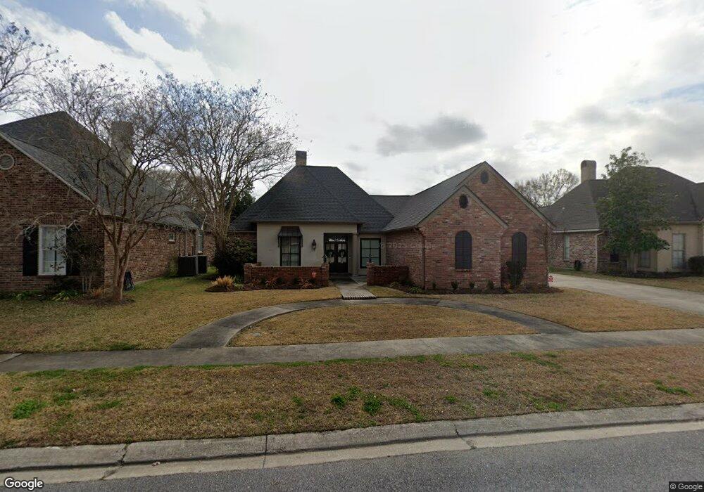
809 S Michot Dr Lafayette, LA 70508
Kaliste Saloom NeighborhoodEstimated Value: $383,000 - $412,000
4
Beds
3
Baths
2,440
Sq Ft
$164/Sq Ft
Est. Value
About This Home
This home is located at 809 S Michot Dr, Lafayette, LA 70508 and is currently estimated at $400,154, approximately $163 per square foot. 809 S Michot Dr is a home located in Lafayette Parish with nearby schools including Corporal Michael Middlebrook Elementary School, Katharine Drexel Elementary School, and Tilton Upper Middle School.
Ownership History
Date
Name
Owned For
Owner Type
Purchase Details
Closed on
Aug 2, 2022
Sold by
Michael Brignac Tad and Hoyt Lynn
Bought by
Munchrath Jacob Conner
Current Estimated Value
Home Financials for this Owner
Home Financials are based on the most recent Mortgage that was taken out on this home.
Original Mortgage
$316,000
Outstanding Balance
$302,748
Interest Rate
5.78%
Mortgage Type
New Conventional
Estimated Equity
$97,406
Create a Home Valuation Report for This Property
The Home Valuation Report is an in-depth analysis detailing your home's value as well as a comparison with similar homes in the area
Home Values in the Area
Average Home Value in this Area
Purchase History
| Date | Buyer | Sale Price | Title Company |
|---|---|---|---|
| Munchrath Jacob Conner | $395,000 | None Listed On Document |
Source: Public Records
Mortgage History
| Date | Status | Borrower | Loan Amount |
|---|---|---|---|
| Open | Munchrath Jacob Conner | $316,000 |
Source: Public Records
Tax History Compared to Growth
Tax History
| Year | Tax Paid | Tax Assessment Tax Assessment Total Assessment is a certain percentage of the fair market value that is determined by local assessors to be the total taxable value of land and additions on the property. | Land | Improvement |
|---|---|---|---|---|
| 2024 | $3,203 | $36,621 | $5,446 | $31,175 |
| 2023 | $3,203 | $33,506 | $5,446 | $28,060 |
| 2022 | $2,955 | $28,239 | $5,446 | $22,793 |
| 2021 | $2,965 | $28,239 | $5,446 | $22,793 |
| 2020 | $2,955 | $28,239 | $5,446 | $22,793 |
| 2019 | $1,709 | $28,239 | $5,446 | $22,793 |
| 2018 | $2,250 | $28,239 | $5,446 | $22,793 |
| 2017 | $2,248 | $28,240 | $3,850 | $24,390 |
| 2015 | $2,246 | $28,240 | $3,850 | $24,390 |
| 2013 | -- | $28,240 | $3,850 | $24,390 |
Source: Public Records
Map
Nearby Homes
- 111 Port Royal Cir
- 102 Lockeport Cir
- 112 Port Royal Cir
- 106 Towne Rd
- 100 Hollow Green Dr
- 102 Towne Rd
- 101 Blue Cove Dr
- 108 Hamlet Ln
- 100 Blue Cove Dr
- 111 Hamlet Ln
- 109 Hamlet Ln
- 1501 La Neuville Rd Unit 1-A
- 107 Hamlet Ln
- 109 Blue Cove Dr
- 104 Blue Cove Dr
- 209 Stoney Shadow Dr
- 201 Blue Cove Dr
- 207 Leaning Oak Dr
- 206 Leaning Oak Dr
- 204 Leaning Oak Dr
- 811 S Michot Dr
- 811 S Michot Dr
- 108 Endfield Cir
- 106 Endfield Cir
- 110 Endfield Cir
- 805 S Michot Dr
- 813 S Michot Dr
- 808 S Michot Dr
- 806 S Michot Dr
- 810 S Michot Dr
- 104 Endfield Cir
- 112 Endfield Cir
- 804 S Michot Dr
- 812 S Michot Dr
- 803 S Michot Dr
- 102 Endfield Cir
- 109 Lockeport Cir
- 111 Lockeport Cir
- 109 Endfield Cir
- 802 S Michot Dr