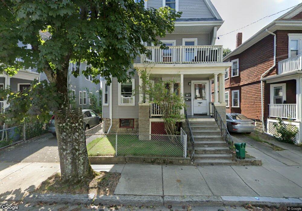
81 Bristol Rd Unit 2 Medford, MA 02155
South Medford NeighborhoodEstimated Value: $1,148,000 - $1,281,000
4
Beds
3
Baths
9,999
Sq Ft
$121/Sq Ft
Est. Value
About This Home
This home is located at 81 Bristol Rd Unit 2, Medford, MA 02155 and is currently estimated at $1,211,846, approximately $121 per square foot. 81 Bristol Rd Unit 2 is a home located in Middlesex County with nearby schools including Medford High School and St. Clement Elementary School.
Ownership History
Date
Name
Owned For
Owner Type
Purchase Details
Closed on
Aug 29, 2012
Sold by
Farrell Helen M Est
Bought by
Dema Partners Llc
Current Estimated Value
Create a Home Valuation Report for This Property
The Home Valuation Report is an in-depth analysis detailing your home's value as well as a comparison with similar homes in the area
Home Values in the Area
Average Home Value in this Area
Purchase History
| Date | Buyer | Sale Price | Title Company |
|---|---|---|---|
| Dema Partners Llc | $542,000 | -- |
Source: Public Records
Property History
| Date | Event | Price | List to Sale | Price per Sq Ft |
|---|---|---|---|---|
| 04/24/2025 04/24/25 | Off Market | $4,500 | -- | -- |
| 04/10/2025 04/10/25 | Price Changed | $4,500 | 0.0% | $3 / Sq Ft |
| 04/10/2025 04/10/25 | For Rent | $4,500 | +4.8% | -- |
| 10/04/2024 10/04/24 | For Rent | $4,295 | -- | -- |
Tax History
| Year | Tax Paid | Tax Assessment Tax Assessment Total Assessment is a certain percentage of the fair market value that is determined by local assessors to be the total taxable value of land and additions on the property. | Land | Improvement |
|---|---|---|---|---|
| 2025 | $8,625 | $980,100 | $319,000 | $661,100 |
| 2024 | $7,926 | $930,300 | $303,800 | $626,500 |
| 2023 | $7,782 | $899,600 | $283,900 | $615,700 |
| 2022 | $7,873 | $873,800 | $258,100 | $615,700 |
| 2021 | $7,374 | $783,600 | $245,800 | $537,800 |
| 2020 | $7,273 | $792,300 | $245,800 | $546,500 |
| 2019 | $6,255 | $651,600 | $223,500 | $428,100 |
| 2018 | $5,937 | $579,800 | $203,200 | $376,600 |
| 2017 | $5,559 | $526,400 | $189,900 | $336,500 |
| 2016 | $5,419 | $484,300 | $172,600 | $311,700 |
| 2015 | $5,065 | $432,900 | $164,400 | $268,500 |
Source: Public Records
Map
Nearby Homes
- 111 Pearson Rd
- 595 Broadway Unit 302
- 595 Broadway Unit 102
- 595 Broadway Unit 202
- 595 Broadway Unit 101
- 288 Cedar St
- 16 Rogers Ave
- 69 Boston Ave
- 68 Winslow Ave
- 371 Highland Ave
- 355 Highland Ave Unit 3
- 1004 Broadway Unit 3
- 13 Warwick St
- 79 Willow Ave
- 32 Richardson St
- 17 Holland St Unit 301
- 3 Vinal St
- 167 Albion St
- 55 Packard Ave Unit 1
- 353 Summer St Unit 310
- 81 Bristol Rd
- 81 Bristol Rd Unit 1
- 81 Bristol Rd
- 77 Bristol Rd
- 83 Bristol Rd Unit 2 SM
- 83 Bristol Rd
- 83 Bristol Rd Unit 2
- 83 Bristol Rd Unit 1
- 81 Bristol Rd
- 75 Bristol Rd
- 85 Bristol Rd
- 9 Pearson Rd
- 5 Pearson Rd
- 11 Pearson Rd
- 73 Bristol Rd
- 73 Bristol Rd
- 73 Bristol Rd Unit 1
- 80 Bristol Rd
- 80 Bristol Rd Unit 1
- 82 Bristol Rd
Your Personal Tour Guide
Ask me questions while you tour the home.