81 Bubier Rd Wilton, ME 04294
Estimated Value: $85,000 - $126,000
Studio
--
Bath
640
Sq Ft
$173/Sq Ft
Est. Value
About This Home
This home is located at 81 Bubier Rd, Wilton, ME 04294 and is currently estimated at $110,433, approximately $172 per square foot. 81 Bubier Rd is a home located in Franklin County with nearby schools including Mt. Blue High School and Western Maine Christian Academy.
Ownership History
Date
Name
Owned For
Owner Type
Purchase Details
Closed on
Jun 1, 2022
Sold by
Hidden Hls Farm & Forsest
Bought by
Wittrock Tyson and Wittrock Stephanie
Current Estimated Value
Purchase Details
Closed on
Nov 30, 2016
Sold by
Amirault Philip A and Amirault Jon
Bought by
Hidden Hills Farm & Forest
Home Financials for this Owner
Home Financials are based on the most recent Mortgage that was taken out on this home.
Original Mortgage
$110,000
Interest Rate
3.52%
Mortgage Type
Commercial
Create a Home Valuation Report for This Property
The Home Valuation Report is an in-depth analysis detailing your home's value as well as a comparison with similar homes in the area
Home Values in the Area
Average Home Value in this Area
Purchase History
| Date | Buyer | Sale Price | Title Company |
|---|---|---|---|
| Wittrock Tyson | $93,000 | None Available | |
| Hidden Hills Farm & Forest | -- | -- |
Source: Public Records
Mortgage History
| Date | Status | Borrower | Loan Amount |
|---|---|---|---|
| Previous Owner | Hidden Hills Farm & Forest | $110,000 |
Source: Public Records
Tax History
| Year | Tax Paid | Tax Assessment Tax Assessment Total Assessment is a certain percentage of the fair market value that is determined by local assessors to be the total taxable value of land and additions on the property. | Land | Improvement |
|---|---|---|---|---|
| 2025 | $530 | $24,273 | $15,980 | $8,293 |
| 2024 | $517 | $24,273 | $15,980 | $8,293 |
| 2023 | $495 | $24,273 | $15,980 | $8,293 |
| 2022 | $387 | $19,965 | $15,980 | $3,985 |
| 2021 | $388 | $19,985 | $16,000 | $3,985 |
| 2020 | $400 | $19,985 | $16,000 | $3,985 |
| 2019 | $400 | $19,985 | $16,000 | $3,985 |
| 2018 | $407 | $19,985 | $16,000 | $3,985 |
| 2017 | $413 | $19,985 | $16,000 | $3,985 |
| 2016 | $413 | $19,985 | $16,000 | $3,985 |
| 2015 | $519 | $27,700 | $22,400 | $5,300 |
| 2014 | $481 | $27,700 | $22,400 | $5,300 |
| 2013 | $450 | $27,700 | $22,400 | $5,300 |
Source: Public Records
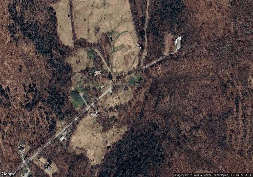
Map
Nearby Homes
- 916 Orchard Dr
- 135 Lyle Hall Rd
- TBD Temple Rd
- 269 Weld Rd
- 1001 Main St
- M16 L12 Maine 4
- Lots B&C Hanslip Rd
- R09/24B Orchard Hill Rd
- 456 Temple Rd
- 9 Maple St
- 458 Temple Rd
- US RT 2E Us Routes 2 & 4
- 28//36&37 Us Route 2 & 4
- 122 Meadow Ln
- 555 Depot St
- 127 Meadow Ln
- 5 School St
- 6 Mcrae St
- 206 Livermore Falls Rd
- 463 Clover Mill Rd
Your Personal Tour Guide
Ask me questions while you tour the home.