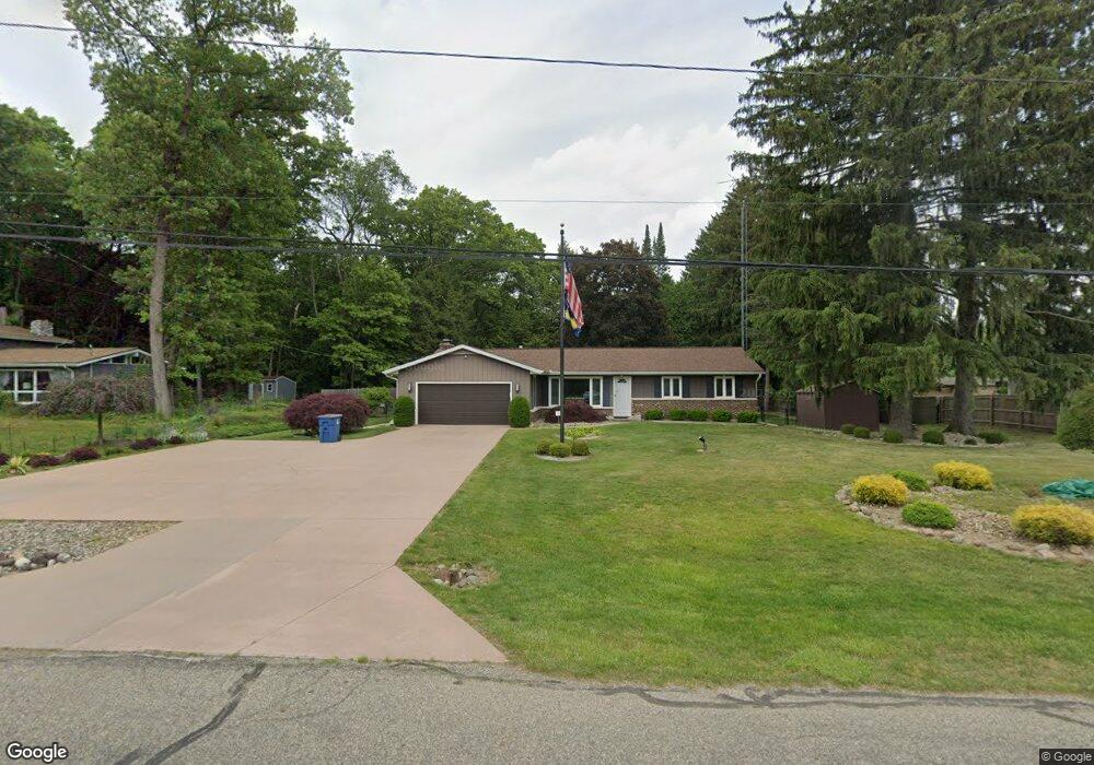
81 Christy Rd Battle Creek, MI 49015
Minges Brook Riverside NeighborhoodEstimated Value: $258,000 - $282,000
3
Beds
2
Baths
1,920
Sq Ft
$142/Sq Ft
Est. Value
About This Home
This home is located at 81 Christy Rd, Battle Creek, MI 49015 and is currently estimated at $273,532, approximately $142 per square foot. 81 Christy Rd is a home located in Calhoun County with nearby schools including Lakeview Middle School, Lakeview High School, and Arbor Academy.
Ownership History
Date
Name
Owned For
Owner Type
Purchase Details
Closed on
Feb 21, 2018
Sold by
Cupello Albert R
Bought by
Cupello Albert R
Current Estimated Value
Home Financials for this Owner
Home Financials are based on the most recent Mortgage that was taken out on this home.
Original Mortgage
$288,000
Outstanding Balance
$244,215
Interest Rate
4.04%
Mortgage Type
Reverse Mortgage Home Equity Conversion Mortgage
Estimated Equity
$29,317
Purchase Details
Closed on
Nov 17, 1997
Sold by
Cupello Albert R and Cupello Tina A
Bought by
Cupello Albert R
Create a Home Valuation Report for This Property
The Home Valuation Report is an in-depth analysis detailing your home's value as well as a comparison with similar homes in the area
Home Values in the Area
Average Home Value in this Area
Purchase History
| Date | Buyer | Sale Price | Title Company |
|---|---|---|---|
| Cupello Albert R | -- | Fnc Title Services Llc | |
| Cupello Albert R | -- | -- |
Source: Public Records
Mortgage History
| Date | Status | Borrower | Loan Amount |
|---|---|---|---|
| Open | Cupello Albert R | $288,000 |
Source: Public Records
Tax History Compared to Growth
Tax History
| Year | Tax Paid | Tax Assessment Tax Assessment Total Assessment is a certain percentage of the fair market value that is determined by local assessors to be the total taxable value of land and additions on the property. | Land | Improvement |
|---|---|---|---|---|
| 2025 | -- | $126,400 | $0 | $0 |
| 2024 | $3,402 | $119,645 | $0 | $0 |
| 2023 | $3,874 | $94,691 | $0 | $0 |
| 2022 | $3,073 | $82,646 | $0 | $0 |
| 2021 | $3,773 | $79,053 | $0 | $0 |
| 2020 | $3,696 | $79,741 | $0 | $0 |
| 2019 | $3,681 | $81,703 | $0 | $0 |
| 2018 | $3,681 | $82,300 | $11,549 | $70,751 |
| 2017 | $3,569 | $81,657 | $0 | $0 |
| 2016 | $3,563 | $78,864 | $0 | $0 |
| 2015 | $3,315 | $75,467 | $8,679 | $66,788 |
| 2014 | $3,315 | $74,105 | $8,679 | $65,426 |
Source: Public Records
Map
Nearby Homes
- 68 Birch Hill Dr
- 215 Beckwith Dr
- 15 Birch Hill Dr
- 211 Beckwith Dr
- 33 Langley Rd E
- 29 Langley Rd E
- 148 Wahwahtaysee Way
- 292 W Hamilton Ln
- 509 E Hamilton Ln
- 219 W Hamilton Ln
- 118 Flora Ln
- 15 Timothy Ln
- 125 Williams Dr
- 348 S Hills Dr
- 160 Lincoln Hill Dr
- 12800 Minges Rd S
- 117 Pheasant Run
- 498 Ashton Lake Dr
- 175 S Ridgeway Dr
- 66 Wealthy