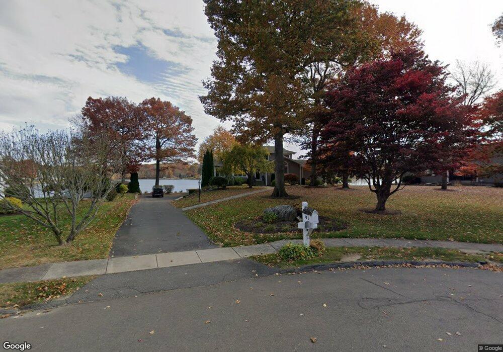
81 Cove Rd Bristol, CT 06010
South Bristol NeighborhoodEstimated Value: $707,000 - $1,175,000
4
Beds
5
Baths
2,598
Sq Ft
$361/Sq Ft
Est. Value
About This Home
This home is located at 81 Cove Rd, Bristol, CT 06010 and is currently estimated at $937,190, approximately $360 per square foot. 81 Cove Rd is a home located in Hartford County with nearby schools including Chippens Hill Middle School, Bristol Central High School, and Immanuel Lutheran School.
Ownership History
Date
Name
Owned For
Owner Type
Purchase Details
Closed on
Jan 27, 2023
Sold by
Pryor James J
Bought by
James J Pryor Ret
Current Estimated Value
Create a Home Valuation Report for This Property
The Home Valuation Report is an in-depth analysis detailing your home's value as well as a comparison with similar homes in the area
Home Values in the Area
Average Home Value in this Area
Purchase History
| Date | Buyer | Sale Price | Title Company |
|---|---|---|---|
| James J Pryor Ret | -- | None Available |
Source: Public Records
Tax History Compared to Growth
Tax History
| Year | Tax Paid | Tax Assessment Tax Assessment Total Assessment is a certain percentage of the fair market value that is determined by local assessors to be the total taxable value of land and additions on the property. | Land | Improvement |
|---|---|---|---|---|
| 2025 | $20,741 | $614,560 | $297,740 | $316,820 |
| 2024 | $19,574 | $614,560 | $297,740 | $316,820 |
| 2023 | $18,652 | $614,560 | $297,740 | $316,820 |
| 2022 | $16,797 | $437,990 | $204,970 | $233,020 |
| 2021 | $16,797 | $437,990 | $204,970 | $233,020 |
| 2020 | $16,797 | $437,990 | $204,970 | $233,020 |
| 2019 | $16,666 | $437,990 | $204,960 | $233,030 |
| 2018 | $16,153 | $437,990 | $204,960 | $233,030 |
| 2017 | $14,157 | $392,910 | $196,140 | $196,770 |
| 2016 | $14,157 | $392,910 | $196,140 | $196,770 |
| 2015 | $13,599 | $392,910 | $196,140 | $196,770 |
| 2014 | $13,325 | $385,000 | $196,140 | $188,860 |
Source: Public Records
Map
Nearby Homes
- 351 Witches Rock Rd
- 32 Cameron Dr
- 140 Corbin Ridge
- 123 Corbin Ridge
- 156 Corbin Ridge
- 101 Corbin Ridge
- 26 Kilmartin Ave
- 145 Corbin Ridge
- 66 Mattatuck Rd
- 115 Kilmartin Ave
- 115 Old Wolcott Rd
- 13 Overlook Terrace
- 22 Overlook Terrace
- 93-95 Eastview Rd
- 4 Fall Mountain Terrace
- 1253 Spindle Hill Rd
- 489 Wolcott St Unit 46
- 489 Wolcott St Unit 47
- 489 Wolcott St Unit 74
- 489 Wolcott St Unit 25