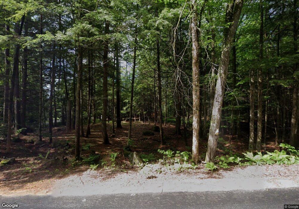
81 Cross Hill Rd Wilmot, NH 03287
Estimated Value: $580,000 - $988,000
5
Beds
3
Baths
4,916
Sq Ft
$178/Sq Ft
Est. Value
About This Home
This home is located at 81 Cross Hill Rd, Wilmot, NH 03287 and is currently estimated at $875,778, approximately $178 per square foot. 81 Cross Hill Rd is a home located in Merrimack County with nearby schools including Kearsarge Elementary School - New London, Kearsarge Regional Middle School, and Kearsarge Regional High School.
Ownership History
Date
Name
Owned For
Owner Type
Purchase Details
Closed on
Mar 22, 2019
Sold by
Ilg Pamela W
Bought by
Ilg Raymond A and Markoff Cicely B
Current Estimated Value
Home Financials for this Owner
Home Financials are based on the most recent Mortgage that was taken out on this home.
Original Mortgage
$416,000
Outstanding Balance
$365,735
Interest Rate
4.4%
Mortgage Type
New Conventional
Estimated Equity
$510,043
Create a Home Valuation Report for This Property
The Home Valuation Report is an in-depth analysis detailing your home's value as well as a comparison with similar homes in the area
Home Values in the Area
Average Home Value in this Area
Purchase History
| Date | Buyer | Sale Price | Title Company |
|---|---|---|---|
| Ilg Raymond A | $175,000 | -- |
Source: Public Records
Mortgage History
| Date | Status | Borrower | Loan Amount |
|---|---|---|---|
| Open | Ilg Raymond A | $416,000 |
Source: Public Records
Tax History Compared to Growth
Tax History
| Year | Tax Paid | Tax Assessment Tax Assessment Total Assessment is a certain percentage of the fair market value that is determined by local assessors to be the total taxable value of land and additions on the property. | Land | Improvement |
|---|---|---|---|---|
| 2024 | $15,602 | $609,463 | $114,663 | $494,800 |
| 2023 | $12,519 | $517,939 | $115,139 | $402,800 |
| 2022 | $10,616 | $497,928 | $111,128 | $386,800 |
| 2021 | $10,555 | $499,305 | $112,505 | $386,800 |
| 2020 | $10,559 | $499,500 | $112,700 | $386,800 |
| 2019 | $5,795 | $287,133 | $78,233 | $208,900 |
| 2018 | $5,591 | $287,609 | $78,709 | $208,900 |
| 2017 | $7,010 | $286,020 | $78,820 | $207,200 |
| 2016 | $5,969 | $222,964 | $78,964 | $144,000 |
| 2015 | $5,283 | $223,100 | $79,100 | $144,000 |
| 2014 | $4,799 | $229,400 | $97,800 | $131,600 |
| 2013 | $5,161 | $248,257 | $124,500 | $123,757 |
Source: Public Records
Map
Nearby Homes
- 221 Campground Rd
- 62 Patterson Rd
- 133 Nh Route 4a
- Lot 8 Stone Bridge Rd
- Lot 3 Kimpton Brook Rd
- 0 Quiet Cove Way Unit 5
- Lot 16 Granite Hill Rd
- 24 Mountain Overlook
- 53 Elkins Rd
- Lot 2 Laurel Ln
- 106 Lead Mine Rd
- 658 N Wilmot Rd
- 00 New Canada Rd Unit 7
- 19 Ives
- 155 Wilder Ln
- 0 Howe Rd Unit 4996459
- 000 Shaker Rd Unit 288
- 375 New Canada Rd
- 58 Kearsarge Rd
- 295 Andover Rd
- 48 Nh Route 4a
- 167 Campground Rd
- 272 Shindagan Rd
- 81 Cross Hill Rd
- 223 Shindagan Rd
- 101 Cross Hill Rd
- 42 Cross Hill Rd
- 39 Juniper Ln
- 29 Juniper Ln
- 15 Bank Rd
- 287 Campground Rd
- 33 Nh Route 4a
- 48 Nh Route 4a
- 332 Campground Rd
- 48 Nh Route 4a
- 33 Nh Route 4a
- 207 Campground Rd
- 41 Bank Rd
- 252 Shindagan Rd
- 393 Campground Rd
