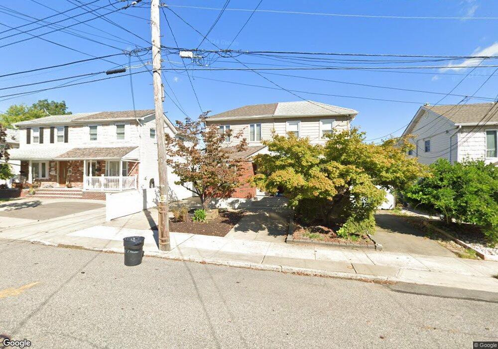
81 E Macon Ave Staten Island, NY 10308
Eltingville NeighborhoodEstimated Value: $682,000 - $760,000
3
Beds
2
Baths
1,120
Sq Ft
$637/Sq Ft
Est. Value
About This Home
This home is located at 81 E Macon Ave, Staten Island, NY 10308 and is currently estimated at $712,883, approximately $636 per square foot. 81 E Macon Ave is a home located in Richmond County with nearby schools including P.S. 32 The Gifford School, I.S. 075 Frank D. Paulo, and Susan E Wagner High School.
Ownership History
Date
Name
Owned For
Owner Type
Purchase Details
Closed on
Jul 30, 2001
Sold by
Laurella Michael and Laurella Angela
Bought by
Picaro Pasquale A and Picaro Maria L
Current Estimated Value
Home Financials for this Owner
Home Financials are based on the most recent Mortgage that was taken out on this home.
Original Mortgage
$160,000
Interest Rate
6.77%
Create a Home Valuation Report for This Property
The Home Valuation Report is an in-depth analysis detailing your home's value as well as a comparison with similar homes in the area
Home Values in the Area
Average Home Value in this Area
Purchase History
| Date | Buyer | Sale Price | Title Company |
|---|---|---|---|
| Picaro Pasquale A | $240,000 | Lawyers Title Insurance Corp |
Source: Public Records
Mortgage History
| Date | Status | Borrower | Loan Amount |
|---|---|---|---|
| Previous Owner | Picaro Pasquale A | $160,000 |
Source: Public Records
Tax History
| Year | Tax Paid | Tax Assessment Tax Assessment Total Assessment is a certain percentage of the fair market value that is determined by local assessors to be the total taxable value of land and additions on the property. | Land | Improvement |
|---|---|---|---|---|
| 2025 | $5,724 | $39,420 | $6,801 | $32,619 |
| 2024 | $6,005 | $38,340 | $6,597 | $31,743 |
| 2023 | $5,658 | $29,261 | $6,204 | $23,057 |
| 2022 | $5,276 | $34,500 | $8,460 | $26,040 |
| 2021 | $5,562 | $33,360 | $8,460 | $24,900 |
| 2020 | $5,294 | $32,520 | $8,460 | $24,060 |
| 2019 | $4,919 | $32,100 | $8,460 | $23,640 |
| 2018 | $4,673 | $24,384 | $7,507 | $16,877 |
| 2017 | $4,434 | $23,223 | $7,778 | $15,445 |
| 2016 | $4,333 | $23,223 | $7,986 | $15,237 |
| 2015 | $3,679 | $22,006 | $7,922 | $14,084 |
| 2014 | $3,679 | $20,762 | $7,550 | $13,212 |
Source: Public Records
Map
Nearby Homes
- 76 E Brandis Ave
- 969 Armstrong Ave
- 378 Gurley Ave
- 483 Barlow Ave
- 1069 Armstrong Ave
- 44 Cortelyou Ave
- 367 Gurley Ave
- 88 Cortelyou Ave
- 360 Barlow Ave Unit 1
- 360 Barlow Ave Unit 40A
- 360 Barlow Ave Unit 29
- 360 Barlow Ave Unit 32
- 28 Fenway Cir Unit 2-2
- 125 Cortelyou Ave Unit 2-2
- 892 Armstrong Ave Unit 23
- 890 Armstrong Ave Unit 2-3
- 147 Cortelyou Ave Unit 2-3
- 94 Getz Ave
- 309 Abingdon Ave
- 385 Brookfield Ave
- 77 E Macon Ave
- 83 E Macon Ave
- 75 E Macon Ave
- 85 E Macon Ave
- 87 E Macon Ave
- 71 E Macon Ave
- 80 E Brandis Ave
- 89 E Macon Ave
- 72 E Brandis Ave
- 82 E Brandis Ave
- 70 E Brandis Ave
- 84 E Brandis Ave
- 91 E Macon Ave
- 86 E Brandis Ave
- 88 E Brandis Ave
- 78 E Macon Ave
- 80 E Macon Ave
- 76 E Macon Ave
- 93 E Macon Ave
- 82 E Macon Ave
Your Personal Tour Guide
Ask me questions while you tour the home.