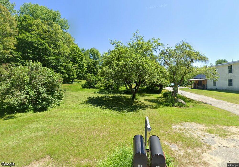
81 Gammon Rd Sumner, ME 04292
Estimated Value: $261,000 - $464,000
Studio
--
Bath
--
Sq Ft
1,222,729
Sq Ft Lot
About This Home
This home is located at 81 Gammon Rd, Sumner, ME 04292 and is currently estimated at $334,264. 81 Gammon Rd is a home located in Oxford County with nearby schools including Hartford-Sumner Elementary School, Buckfield Junior/Senior High School, and West Sumner Christian School.
Ownership History
Date
Name
Owned For
Owner Type
Purchase Details
Closed on
Dec 6, 2016
Sold by
Saad Fatma J
Bought by
Perry Stephen R
Current Estimated Value
Home Financials for this Owner
Home Financials are based on the most recent Mortgage that was taken out on this home.
Original Mortgage
$156,542
Outstanding Balance
$125,063
Interest Rate
3.52%
Mortgage Type
FHA
Estimated Equity
$209,201
Purchase Details
Closed on
Nov 7, 2008
Sold by
Chesley Paul C and Perry Merriel A
Bought by
Perry Stephen R and Perry Fatma S
Create a Home Valuation Report for This Property
The Home Valuation Report is an in-depth analysis detailing your home's value as well as a comparison with similar homes in the area
Purchase History
| Date | Buyer | Sale Price | Title Company |
|---|---|---|---|
| Perry Stephen R | -- | -- | |
| Perry Stephen R | -- | -- |
Source: Public Records
Mortgage History
| Date | Status | Borrower | Loan Amount |
|---|---|---|---|
| Open | Perry Stephen R | $156,542 |
Source: Public Records
Tax History
| Year | Tax Paid | Tax Assessment Tax Assessment Total Assessment is a certain percentage of the fair market value that is determined by local assessors to be the total taxable value of land and additions on the property. | Land | Improvement |
|---|---|---|---|---|
| 2025 | $4,886 | $313,174 | $95,238 | $217,936 |
| 2024 | $4,071 | $313,174 | $95,238 | $217,936 |
| 2023 | $3,008 | $142,542 | $63,052 | $79,490 |
| 2022 | $2,943 | $142,542 | $63,052 | $79,490 |
| 2021 | $2,943 | $142,542 | $63,052 | $79,490 |
| 2020 | $2,943 | $142,542 | $63,052 | $79,490 |
| 2019 | $2,907 | $142,842 | $63,352 | $79,490 |
| 2018 | $2,757 | $142,842 | $63,352 | $79,490 |
| 2017 | $2,170 | $118,590 | $39,100 | $79,490 |
| 2016 | $2,259 | $133,285 | $53,795 | $79,490 |
| 2015 | $2,186 | $133,285 | $53,795 | $79,490 |
| 2014 | $2,133 | $133,285 | $53,795 | $79,490 |
| 2013 | $1,998 | $127,250 | $53,795 | $73,455 |
Source: Public Records
Map
Nearby Homes
- 14 Butterfield Rd
- 409 Gammon Rd
- 289 Tucker Rd
- 67 Fields Hill Rd
- 585 Main St
- 14 Mcneil Rd
- 66 Ridge Rd
- 729 Main St
- Lots 10&11 Davenport Rd
- 150 Church St
- 42 Front St
- Lot C Fern Way
- 20 Front St
- 15 Front St
- 319 Old Sumner Rd
- Lot A Blackberry Ln
- Lot B Blackberry Ln
- 71 Mountain View Dr
- 240 Darrington Rd
- 1 Lake View Dr
Your Personal Tour Guide
Ask me questions while you tour the home.