81 Goss Hill Rd Huntington, MA 01050
Estimated Value: $422,000 - $467,000
3
Beds
2
Baths
2,716
Sq Ft
$166/Sq Ft
Est. Value
About This Home
This home is located at 81 Goss Hill Rd, Huntington, MA 01050 and is currently estimated at $450,036, approximately $165 per square foot. 81 Goss Hill Rd is a home located in Hampshire County with nearby schools including Gateway Regional High School.
Ownership History
Date
Name
Owned For
Owner Type
Purchase Details
Closed on
Mar 2, 2010
Sold by
Brisebois Cathy L
Bought by
Brisebois Michael P and Brisebois Cathy L
Current Estimated Value
Purchase Details
Closed on
Oct 23, 2009
Sold by
Brisebois Michael P and Brisebois Cathy
Bought by
Brisebois Cathy L
Purchase Details
Closed on
Jun 4, 1984
Bought by
Brisebois Michael P and Brisebois Cathy
Create a Home Valuation Report for This Property
The Home Valuation Report is an in-depth analysis detailing your home's value as well as a comparison with similar homes in the area
Home Values in the Area
Average Home Value in this Area
Purchase History
| Date | Buyer | Sale Price | Title Company |
|---|---|---|---|
| Brisebois Michael P | -- | -- | |
| Brisebois Cathy L | -- | -- | |
| Brisebois Michael P | $66,000 | -- |
Source: Public Records
Mortgage History
| Date | Status | Borrower | Loan Amount |
|---|---|---|---|
| Previous Owner | Brisebois Michael P | $88,000 | |
| Previous Owner | Brisebois Michael P | $103,000 | |
| Previous Owner | Brisebois Michael P | $17,000 |
Source: Public Records
Tax History Compared to Growth
Tax History
| Year | Tax Paid | Tax Assessment Tax Assessment Total Assessment is a certain percentage of the fair market value that is determined by local assessors to be the total taxable value of land and additions on the property. | Land | Improvement |
|---|---|---|---|---|
| 2025 | $6,522 | $423,500 | $55,900 | $367,600 |
| 2024 | $6,239 | $398,400 | $55,900 | $342,500 |
| 2023 | $6,158 | $361,200 | $45,900 | $315,300 |
| 2022 | $5,542 | $315,600 | $43,400 | $272,200 |
| 2021 | $5,405 | $270,400 | $43,400 | $227,000 |
| 2020 | $5,315 | $259,000 | $39,200 | $219,800 |
| 2019 | $5,159 | $259,000 | $39,200 | $219,800 |
| 2018 | $4,968 | $260,400 | $45,900 | $214,500 |
| 2017 | $4,700 | $260,400 | $45,900 | $214,500 |
| 2016 | $4,817 | $260,400 | $45,900 | $214,500 |
| 2015 | $4,537 | $263,500 | $45,900 | $217,600 |
Source: Public Records
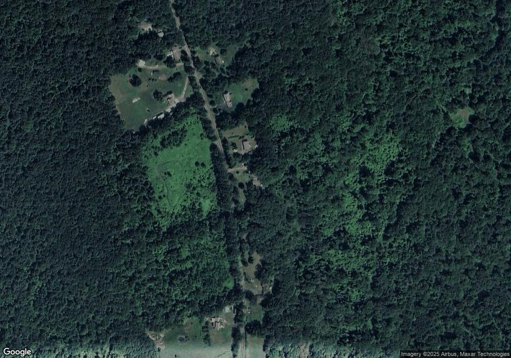
Map
Nearby Homes
- 12 Pond Brook Rd
- 0 Pond Brook Rd Unit 73326747
- 0 Kimball Rd
- 6 Brookside Glen
- 195 Goss Hill Rd
- 0 Goss Hill Rd Unit 73369147
- 1 Searle Rd
- 0 E River Rd Lot 13 Map 409 Unit 72690617
- 31 Skyline Trail
- 14 Sampson Rd
- 113 Norwich Lake
- 236 Norwich Lake
- 0 Skyline Trail
- 25 Basket St
- 16 Crescent St
- 0 Old Chester Rd
- 49 Old Chester Rd
- 7 Stanton Ave
- 8 Basket St
- 9 Russell Rd
- 83 Goss Hill Rd
- 85 Goss Hill Rd
- 75 Goss Hill Rd
- 88 Goss Hill Rd
- 89 Goss Hill Rd
- 90 Goss Hill Rd
- 74 Goss Hill Rd
- 92 Goss Hill Rd
- 93 Goss Hill Rd
- 94 Goss Hill Rd
- 70 Goss Hill Rd
- 69 Goss Hill Rd
- 95 Goss Hill Rd
- 68 Goss Hill Rd
- 108 Goss Hill Rd
- 66 Goss Hill Rd
- 63 Goss Hill Rd
- 62 Goss Hill Rd
- 224 Worthington Rd
- 222 Worthington Rd