81 Greystone Ln Sudbury, MA 01776
Estimated Value: $1,553,000 - $1,919,000
4
Beds
3
Baths
3,656
Sq Ft
$465/Sq Ft
Est. Value
About This Home
This home is located at 81 Greystone Ln, Sudbury, MA 01776 and is currently estimated at $1,700,999, approximately $465 per square foot. 81 Greystone Ln is a home located in Middlesex County with nearby schools including Josiah Haynes Elementary School, Ephraim Curtis Middle School, and Lincoln-Sudbury Regional High School.
Ownership History
Date
Name
Owned For
Owner Type
Purchase Details
Closed on
Jan 31, 1996
Sold by
Eligius Homes Co Inc
Bought by
Alfille Paul H and Shapiro Laurie E
Current Estimated Value
Home Financials for this Owner
Home Financials are based on the most recent Mortgage that was taken out on this home.
Original Mortgage
$500,000
Interest Rate
7.25%
Mortgage Type
Purchase Money Mortgage
Create a Home Valuation Report for This Property
The Home Valuation Report is an in-depth analysis detailing your home's value as well as a comparison with similar homes in the area
Home Values in the Area
Average Home Value in this Area
Purchase History
| Date | Buyer | Sale Price | Title Company |
|---|---|---|---|
| Alfille Paul H | $694,350 | -- | |
| Alfille Paul H | $694,350 | -- |
Source: Public Records
Mortgage History
| Date | Status | Borrower | Loan Amount |
|---|---|---|---|
| Open | Alfille Paul H | $445,000 | |
| Closed | Alfille Paul H | $500,000 |
Source: Public Records
Tax History Compared to Growth
Tax History
| Year | Tax Paid | Tax Assessment Tax Assessment Total Assessment is a certain percentage of the fair market value that is determined by local assessors to be the total taxable value of land and additions on the property. | Land | Improvement |
|---|---|---|---|---|
| 2025 | $24,966 | $1,705,300 | $624,400 | $1,080,900 |
| 2024 | $24,014 | $1,643,700 | $606,400 | $1,037,300 |
| 2023 | $22,595 | $1,432,800 | $566,800 | $866,000 |
| 2022 | $21,517 | $1,192,100 | $480,000 | $712,100 |
| 2021 | $21,538 | $1,143,800 | $480,000 | $663,800 |
| 2020 | $21,598 | $1,170,600 | $506,800 | $663,800 |
| 2019 | $20,965 | $1,170,600 | $506,800 | $663,800 |
| 2018 | $20,168 | $1,124,800 | $520,000 | $604,800 |
| 2017 | $19,211 | $1,082,900 | $484,000 | $598,900 |
| 2016 | $18,338 | $1,030,200 | $465,200 | $565,000 |
| 2015 | $17,769 | $1,009,600 | $456,000 | $553,600 |
| 2014 | $17,758 | $984,900 | $442,800 | $542,100 |
Source: Public Records
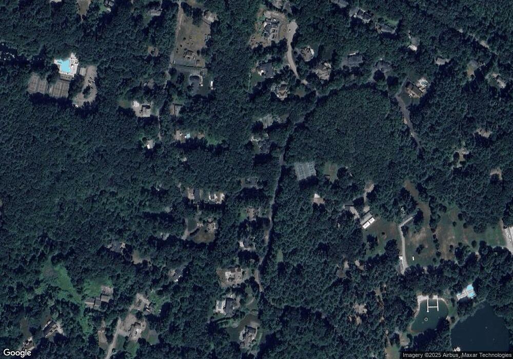
Map
Nearby Homes
- 57 Longfellow Rd
- 67 Powder Mill Rd
- 16 Blacksmith Dr
- 589 North Rd
- 42 Dakin Rd
- 5 Taintor Dr
- 10 Oak Ridge Dr Unit 5
- 5 Oak Ridge Dr Unit 7
- 369 Border Rd
- 250 Great Rd
- 166 Parker St Unit 4
- 55 Widow Rites Ln
- 45 Widow Rites Ln
- 29 Black Birch Ln Unit 29
- 5 Hayes St Unit 5
- 63 Canterbury Dr
- 9 Black Birch Ln Unit 9
- 15 Arthur St Unit 15
- 13 Arthur St Unit 15
- 96 Forest Ridge Rd Unit 96
- 73 Greystone Ln
- 87 Greystone Ln
- 232 Mossman Rd
- 67 Greystone Ln
- 95 Greystone Ln
- 95 Greystone Ln Unit 95
- 240 Mossman Rd
- 228 Mossman Rd
- 246 Mossman Rd
- 4 Cobblestone Ln
- 231 Mossman Rd
- 4 Cobblestone Place
- 237 Mossman Rd
- 252 Mossman Rd
- 101 Greystone Ln
- 227 Mossman Rd
- 247 Mossman Rd
- 262 Mossman Rd
- 8 Cobblestone Ln
- 5 Cobblestone Ln