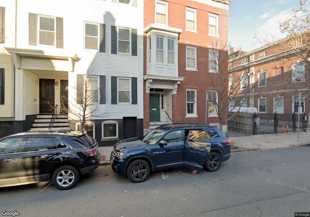
81 High St Unit 1 Charlestown, MA 02129
Thompson Square-Bunker Hill NeighborhoodEstimated Value: $965,227 - $1,138,000
2
Beds
2
Baths
1,127
Sq Ft
$932/Sq Ft
Est. Value
About This Home
This home is located at 81 High St Unit 1, Charlestown, MA 02129 and is currently estimated at $1,050,057, approximately $931 per square foot. 81 High St Unit 1 is a home located in Suffolk County with nearby schools including Community Charter School of Cambridge and Torit Montessori School.
Ownership History
Date
Name
Owned For
Owner Type
Purchase Details
Closed on
Nov 15, 2007
Sold by
Blanchard Michael R and Chapdelaine Karen A
Bought by
Ronayne John T
Current Estimated Value
Home Financials for this Owner
Home Financials are based on the most recent Mortgage that was taken out on this home.
Original Mortgage
$75,000
Outstanding Balance
$47,527
Interest Rate
6.41%
Mortgage Type
Purchase Money Mortgage
Estimated Equity
$1,002,530
Purchase Details
Closed on
Oct 2, 2000
Sold by
Mandel Michele A and Mandel Mark D
Bought by
Wall Christopher K
Home Financials for this Owner
Home Financials are based on the most recent Mortgage that was taken out on this home.
Original Mortgage
$351,200
Interest Rate
7.94%
Mortgage Type
Purchase Money Mortgage
Purchase Details
Closed on
Aug 1, 1997
Sold by
Julio Lionel and Heller Jonathan D
Bought by
Rago Michele A and Mandel Mark D
Home Financials for this Owner
Home Financials are based on the most recent Mortgage that was taken out on this home.
Original Mortgage
$219,000
Interest Rate
7.55%
Mortgage Type
Purchase Money Mortgage
Create a Home Valuation Report for This Property
The Home Valuation Report is an in-depth analysis detailing your home's value as well as a comparison with similar homes in the area
Home Values in the Area
Average Home Value in this Area
Purchase History
| Date | Buyer | Sale Price | Title Company |
|---|---|---|---|
| Ronayne John T | $533,000 | -- | |
| Wall Christopher K | $439,000 | -- | |
| Rago Michele A | $273,800 | -- |
Source: Public Records
Mortgage History
| Date | Status | Borrower | Loan Amount |
|---|---|---|---|
| Open | Ronayne John T | $75,000 | |
| Previous Owner | Rago Michele A | $351,200 | |
| Previous Owner | Rago Michele A | $219,000 | |
| Closed | Rago Michele A | $65,850 |
Source: Public Records
Tax History Compared to Growth
Tax History
| Year | Tax Paid | Tax Assessment Tax Assessment Total Assessment is a certain percentage of the fair market value that is determined by local assessors to be the total taxable value of land and additions on the property. | Land | Improvement |
|---|---|---|---|---|
| 2025 | $9,609 | $829,800 | $0 | $829,800 |
| 2024 | $8,754 | $803,100 | $0 | $803,100 |
| 2023 | $8,208 | $764,200 | $0 | $764,200 |
| 2022 | $7,994 | $734,700 | $0 | $734,700 |
| 2021 | $7,686 | $720,300 | $0 | $720,300 |
| 2020 | $7,015 | $664,300 | $0 | $664,300 |
| 2019 | $6,541 | $620,600 | $0 | $620,600 |
| 2018 | $6,195 | $591,100 | $0 | $591,100 |
| 2017 | $6,074 | $573,600 | $0 | $573,600 |
| 2016 | $6,009 | $546,300 | $0 | $546,300 |
| 2015 | $5,744 | $474,300 | $0 | $474,300 |
| 2014 | $5,313 | $422,300 | $0 | $422,300 |
Source: Public Records
Map
Nearby Homes
- 6 Lincoln Place
- 56 High St Unit 3
- 46 High St
- 52 Sullivan St Unit 1
- 94A Bartlett St Unit 2
- 94A Bartlett St Unit 3
- 9 Russell St Unit 2
- 9 Russell St Unit 1
- 15 Russell St
- 236 Bunker Hill St Unit 3
- 246 Bunker Hill St Unit 3
- 17 Trenton St
- 207 Bunker Hill St Unit 2
- 247 Bunker Hill St Unit A
- 33 Russell St
- 98 Warren St Unit 98
- 255 Bunker Hill St Unit 2
- 14 Mystic St Unit 2
- 14 Wall St
- 22 Pleasant St
- 81 High St Unit 2
- 83 1/2 High St
- 85 1/2 High St
- 87 High St Unit 3
- 87 High St Unit 2
- 87 High St Unit 1
- 85 High St Unit 3
- 85 High St Unit 2
- 83 High St Unit 3
- 85 High St Unit 1
- 83 High St Unit 2
- 83 High St Unit 1
- 83 High St
- 31 School St
- 87 High St Unit 3
- 87 High St Unit 2
- 87 High St Unit 1
- 33 School St
- 10 Summer St Unit 2
- 10 Summer St Unit 1