Estimated Value: $408,000 - $482,000
4
Beds
3
Baths
1,254
Sq Ft
$346/Sq Ft
Est. Value
About This Home
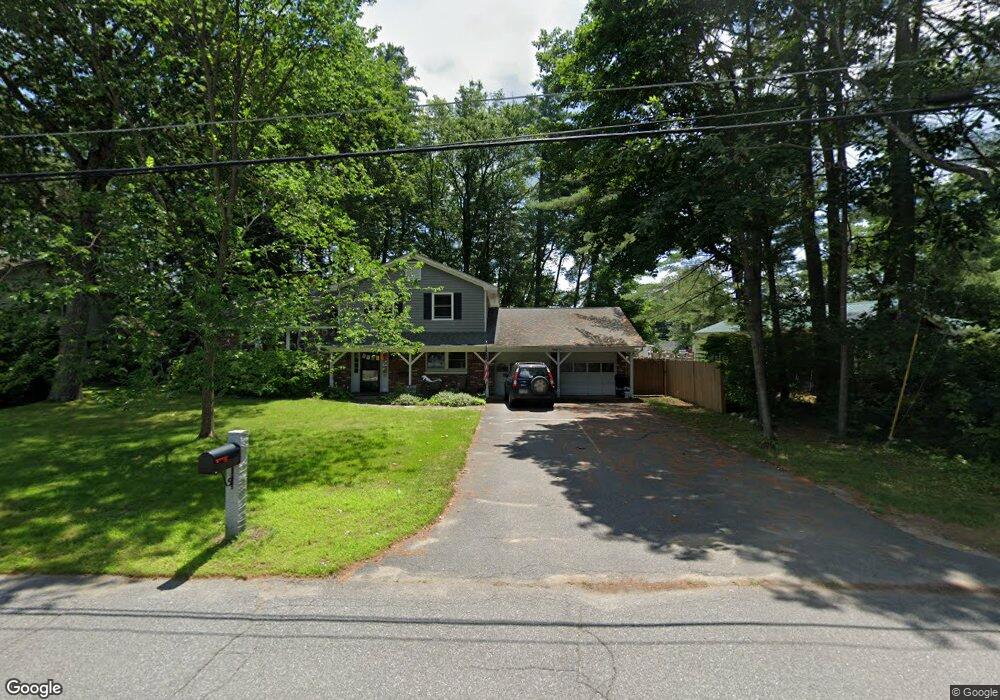
This home is located at 81 Kendall Rd, Keene, NH 03431 and is currently estimated at $434,304, approximately $346 per square foot. 81 Kendall Rd is a home with nearby schools including Symonds Elementary School, Keene High School, and Gathering Waters Charter School (H).
Ownership History
Date
Name
Owned For
Owner Type
Purchase Details
Closed on
Aug 23, 2022
Sold by
Foot Michael T and Blais Kristin D
Bought by
M T & Kristin D Blais Ft
Current Estimated Value
Purchase Details
Closed on
Aug 21, 2000
Sold by
Rodden Jeffrey W and Rodden Karen E
Bought by
Foot Michael T
Purchase Details
Closed on
Jun 26, 1996
Sold by
Ing America Insurance
Bought by
Rodden Jeffrey W and Rodden Karen E
Create a Home Valuation Report for This Property
The Home Valuation Report is an in-depth analysis detailing your home's value as well as a comparison with similar homes in the area
Purchase History
| Date | Buyer | Sale Price | Title Company |
|---|---|---|---|
| M T & Kristin D Blais Ft | -- | None Available | |
| Foot Michael T | $159,000 | -- | |
| Rodden Jeffrey W | $136,100 | -- |
Source: Public Records
Mortgage History
| Date | Status | Borrower | Loan Amount |
|---|---|---|---|
| Previous Owner | Rodden Jeffrey W | $130,150 | |
| Previous Owner | Rodden Jeffrey W | $50,000 | |
| Previous Owner | Rodden Jeffrey W | $152,250 | |
| Previous Owner | Rodden Jeffrey W | $124,000 |
Source: Public Records
Tax History
| Year | Tax Paid | Tax Assessment Tax Assessment Total Assessment is a certain percentage of the fair market value that is determined by local assessors to be the total taxable value of land and additions on the property. | Land | Improvement |
|---|---|---|---|---|
| 2024 | $8,287 | $250,600 | $47,500 | $203,100 |
| 2023 | $7,992 | $250,600 | $47,500 | $203,100 |
| 2022 | $7,776 | $250,600 | $47,500 | $203,100 |
| 2021 | $7,767 | $248,300 | $47,500 | $200,800 |
| 2020 | $8,038 | $215,600 | $55,600 | $160,000 |
| 2019 | $8,107 | $215,600 | $55,600 | $160,000 |
| 2018 | $8,003 | $215,600 | $55,600 | $160,000 |
| 2017 | $8,040 | $216,000 | $56,000 | $160,000 |
| 2016 | $7,860 | $216,000 | $56,000 | $160,000 |
| 2015 | $8,165 | $237,300 | $68,700 | $168,600 |
Source: Public Records
Map
Nearby Homes
Your Personal Tour Guide
Ask me questions while you tour the home.