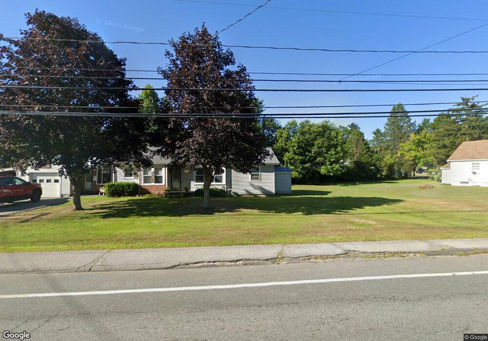
81 Lancaster Rd Gorham, NH 03581
Estimated Value: $267,255 - $298,000
3
Beds
2
Baths
1,176
Sq Ft
$238/Sq Ft
Est. Value
About This Home
This home is located at 81 Lancaster Rd, Gorham, NH 03581 and is currently estimated at $280,064, approximately $238 per square foot. 81 Lancaster Rd is a home located in Coos County with nearby schools including Edward Fenn Elementary School, Gorham Middle School, and Gorham High School.
Ownership History
Date
Name
Owned For
Owner Type
Purchase Details
Closed on
Aug 27, 2013
Sold by
Godin Janet M
Bought by
Godin Timothy A
Current Estimated Value
Purchase Details
Closed on
Nov 20, 1997
Sold by
Houston Rose L
Bought by
Godin Albert J and Godin Janet M
Home Financials for this Owner
Home Financials are based on the most recent Mortgage that was taken out on this home.
Original Mortgage
$59,000
Interest Rate
7.17%
Create a Home Valuation Report for This Property
The Home Valuation Report is an in-depth analysis detailing your home's value as well as a comparison with similar homes in the area
Home Values in the Area
Average Home Value in this Area
Purchase History
| Date | Buyer | Sale Price | Title Company |
|---|---|---|---|
| Godin Timothy A | $106,000 | -- | |
| Godin Timothy A | $106,000 | -- | |
| Godin Albert J | $57,000 | -- | |
| Godin Albert J | $57,000 | -- |
Source: Public Records
Mortgage History
| Date | Status | Borrower | Loan Amount |
|---|---|---|---|
| Previous Owner | Godin Albert J | $59,000 | |
| Closed | Godin Albert J | $0 |
Source: Public Records
Tax History
| Year | Tax Paid | Tax Assessment Tax Assessment Total Assessment is a certain percentage of the fair market value that is determined by local assessors to be the total taxable value of land and additions on the property. | Land | Improvement |
|---|---|---|---|---|
| 2024 | $5,064 | $179,000 | $24,500 | $154,500 |
| 2023 | $4,394 | $179,000 | $24,500 | $154,500 |
| 2022 | $4,341 | $179,000 | $24,500 | $154,500 |
| 2021 | $3,467 | $97,400 | $19,000 | $78,400 |
| 2020 | $3,102 | $97,400 | $19,000 | $78,400 |
| 2019 | $3,289 | $97,400 | $19,000 | $78,400 |
| 2018 | $3,125 | $85,600 | $19,000 | $66,600 |
| 2017 | $2,906 | $85,600 | $19,000 | $66,600 |
| 2014 | $2,792 | $91,000 | $28,400 | $62,600 |
| 2010 | $2,678 | $111,800 | $22,400 | $89,400 |
Source: Public Records
Map
Nearby Homes
- 66 Evans St
- 66 Evans St Unit U19/6
- 84 and 82 Lancaster Rd
- 82 Lancaster Rd
- 85 Lancaster Rd
- 77 Lancaster Rd
- 80 Lancaster Rd
- 84 Lancaster Rd
- 65 Evans St
- 75 Lancaster Rd
- 87 Lancaster Rd
- 86 Lancaster Rd
- 76 Lancaster Rd
- 88 Lancaster Rd
- 71 Lancaster Rd
- 72 Evans St
- 89 Lancaster Rd
- 72 Lancaster Rd
- 69 Evans St
- 59 Evans St
Your Personal Tour Guide
Ask me questions while you tour the home.