81 Lewis Trail Columbus, MT 59019
Estimated Value: $566,000 - $735,000
3
Beds
2
Baths
2,016
Sq Ft
$328/Sq Ft
Est. Value
About This Home
This home is located at 81 Lewis Trail, Columbus, MT 59019 and is currently estimated at $660,618, approximately $327 per square foot. 81 Lewis Trail is a home located in Stillwater County with nearby schools including Reed Point Elementary School, Reed Point 7-8, and Reed Point High School.
Ownership History
Date
Name
Owned For
Owner Type
Purchase Details
Closed on
May 30, 2017
Bought by
Foote Robert
Current Estimated Value
Purchase Details
Closed on
Sep 17, 2007
Sold by
Echo Development Llc
Bought by
Hardel Richard A and Hardel Carolyn A
Home Financials for this Owner
Home Financials are based on the most recent Mortgage that was taken out on this home.
Original Mortgage
$193,000
Interest Rate
6.67%
Create a Home Valuation Report for This Property
The Home Valuation Report is an in-depth analysis detailing your home's value as well as a comparison with similar homes in the area
Home Values in the Area
Average Home Value in this Area
Purchase History
| Date | Buyer | Sale Price | Title Company |
|---|---|---|---|
| Foote Robert | -- | -- | |
| Hardel Richard A | -- | -- |
Source: Public Records
Mortgage History
| Date | Status | Borrower | Loan Amount |
|---|---|---|---|
| Previous Owner | Hardel Richard A | $193,000 |
Source: Public Records
Tax History Compared to Growth
Tax History
| Year | Tax Paid | Tax Assessment Tax Assessment Total Assessment is a certain percentage of the fair market value that is determined by local assessors to be the total taxable value of land and additions on the property. | Land | Improvement |
|---|---|---|---|---|
| 2025 | $3,348 | $697,600 | $0 | $0 |
| 2024 | $3,509 | $539,100 | $0 | $0 |
| 2023 | $3,544 | $539,100 | $0 | $0 |
| 2022 | $3,099 | $443,200 | $0 | $0 |
| 2021 | $2,327 | $343,400 | $0 | $0 |
| 2020 | $2,185 | $293,200 | $0 | $0 |
| 2019 | $2,285 | $293,200 | $0 | $0 |
| 2018 | $1,926 | $270,300 | $0 | $0 |
| 2017 | $1,789 | $260,300 | $0 | $0 |
| 2016 | $1,863 | $248,900 | $0 | $0 |
| 2015 | $1,693 | $248,900 | $0 | $0 |
| 2014 | $1,543 | $123,172 | $0 | $0 |
Source: Public Records
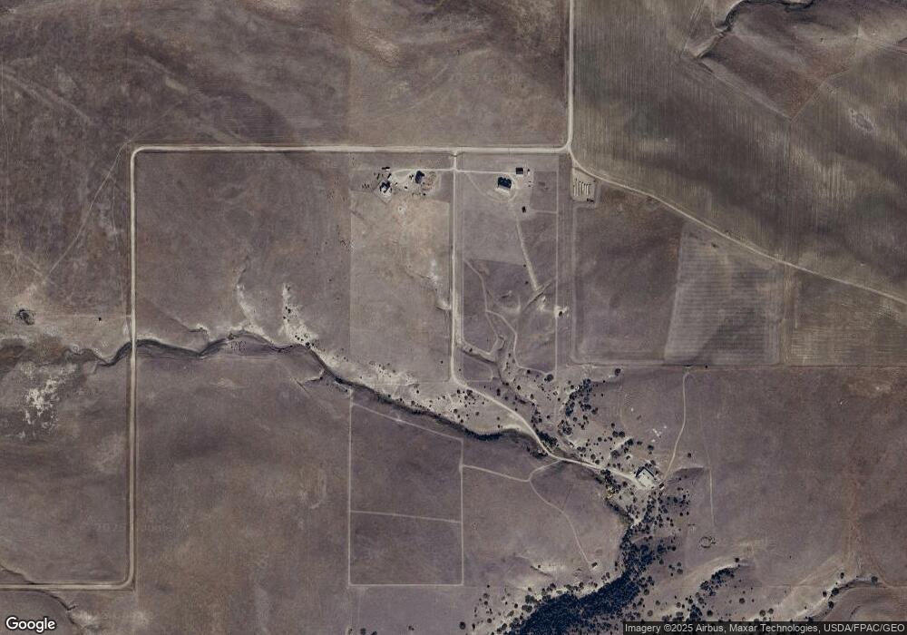
Map
Nearby Homes
- 26 Yates Rd
- 564a Countryman Creek Rd
- 26 O'Dare Dr
- Lot 56 Hearts & Diamonds 2
- LOT 215 Coyote Pass
- TBD lot #201 Coyote Pass
- TBD Lot#222 Coyote Pass
- NHN Pelican Point
- 51 Haystack Coulee Rd
- 27 Kestel Trail
- TBD Brumfield RD Brumfield Rd
- 94 Owl Canyon Rd
- TBD Sunrise Dr
- 79 Myers Rd
- 79 Meyers Rd
- 9 Lost Cache Rd
- 20 Elkhorn Rd
- 47 Lower Hawk Valley Rd
- 37 Barham Rd
- TBD Centennial Rd
- 79 Lewis Trail
- 97 Lewis Trail
- LOT 134 Lewis Trail
- 491 Countryman Creek Rd
- 479 Countryman Creek Rd
- 521 Countryman Creek Rd
- 654 Countryman Creek Rd
- 518 Countryman Creek Rd
- 38 Quinn Coullee Rd
- 0 Cameron Dr
- 447 Countryman Creek Rd
- 32 Stuart Trail
- 32 Cameron Dr
- 467 Countryman Creek Rd
- #0 Lewis Trail Lot 119
- 0 Lewis Trail Lot 118 Unit 253102
- 0 Lewis Trail Lot 118 Unit 310491
- 9 Yates Rd
- 26 Yates Rd Lot 87
- 20 Medicine Crow Rd