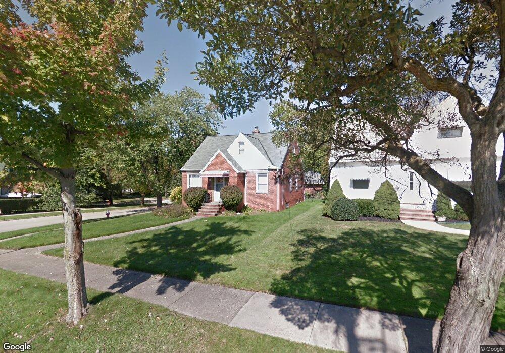
81 Leyton Rd Bedford, OH 44146
Estimated Value: $150,518 - $191,000
3
Beds
1
Bath
1,299
Sq Ft
$128/Sq Ft
Est. Value
About This Home
This home is located at 81 Leyton Rd, Bedford, OH 44146 and is currently estimated at $166,630, approximately $128 per square foot. 81 Leyton Rd is a home located in Cuyahoga County with nearby schools including Heskett Middle School, Bedford High School, and Ohio College Preparatory School.
Ownership History
Date
Name
Owned For
Owner Type
Purchase Details
Closed on
May 12, 1993
Sold by
Richards William M
Bought by
Mcnabb Mary Ellen
Current Estimated Value
Purchase Details
Closed on
Jul 12, 1983
Sold by
Cencer Maria S
Bought by
Richards William M
Purchase Details
Closed on
Jun 25, 1982
Sold by
Siracusa Betty J
Bought by
Cencer Maria S
Purchase Details
Closed on
Sep 23, 1975
Sold by
Puskas Rosella
Bought by
Siracusa Betty J
Purchase Details
Closed on
Jan 1, 1975
Bought by
Puskas Rosella
Create a Home Valuation Report for This Property
The Home Valuation Report is an in-depth analysis detailing your home's value as well as a comparison with similar homes in the area
Home Values in the Area
Average Home Value in this Area
Purchase History
| Date | Buyer | Sale Price | Title Company |
|---|---|---|---|
| Mcnabb Mary Ellen | $68,000 | -- | |
| Richards William M | $59,900 | -- | |
| Cencer Maria S | $35,000 | -- | |
| Siracusa Betty J | $32,900 | -- | |
| Puskas Rosella | -- | -- |
Source: Public Records
Tax History Compared to Growth
Tax History
| Year | Tax Paid | Tax Assessment Tax Assessment Total Assessment is a certain percentage of the fair market value that is determined by local assessors to be the total taxable value of land and additions on the property. | Land | Improvement |
|---|---|---|---|---|
| 2024 | $3,215 | $41,405 | $8,995 | $32,410 |
| 2023 | $2,945 | $32,620 | $6,790 | $25,830 |
| 2022 | $2,607 | $32,620 | $6,790 | $25,830 |
| 2021 | $2,529 | $32,620 | $6,790 | $25,830 |
| 2020 | $2,377 | $27,410 | $5,710 | $21,700 |
| 2019 | $2,316 | $78,300 | $16,300 | $62,000 |
| 2018 | $2,302 | $27,410 | $5,710 | $21,700 |
| 2017 | $2,326 | $26,180 | $5,180 | $21,000 |
| 2016 | $2,306 | $26,180 | $5,180 | $21,000 |
| 2015 | $2,310 | $26,180 | $5,180 | $21,000 |
| 2014 | $2,310 | $28,460 | $5,640 | $22,820 |
Source: Public Records
Map
Nearby Homes
- 95 Noran Cir
- 78 Gould Ave
- 377 Hubbell Cir
- 0 Hubbell Cir
- 54 Hubbell Way
- 66 Hubbell Way
- 62 Hubbell Way
- 58 Hubbell Way
- 54 Willard Ave
- 62 Willard Ave
- 57 Hubbell Way
- 61 Hubbell Way
- 32 Ellenwood Ave
- 20620 Donny Brook Rd
- 475 Lamson Ave
- 5571 Oakwood Ave
- 443 Broadway Ave
- 20625 Centuryway Rd
- 46 Thames Ave
- 20634 Centuryway Rd