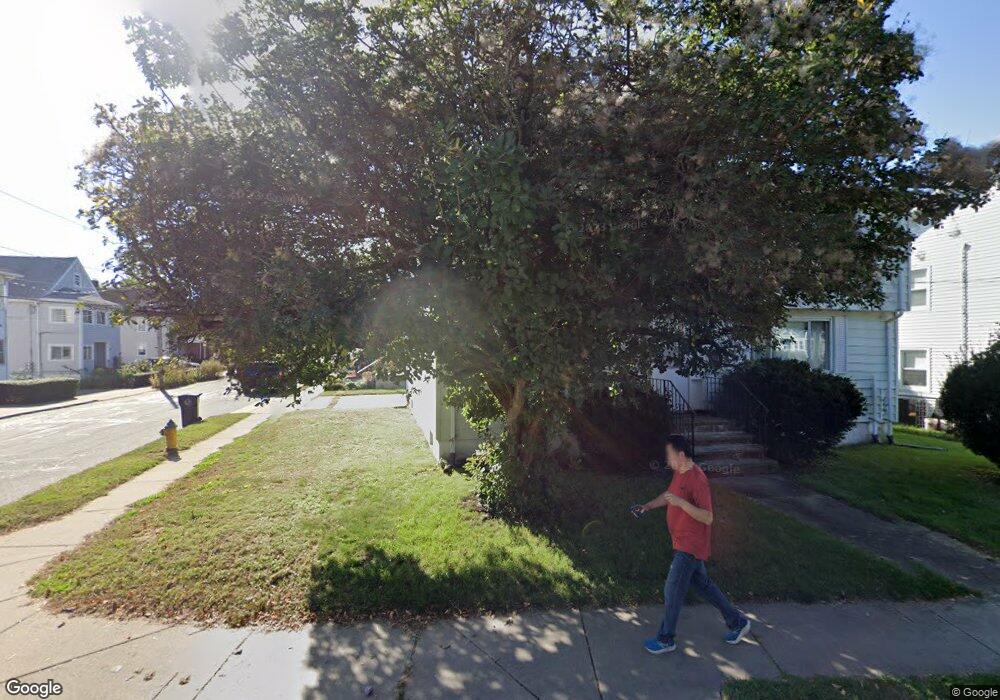
81 Maple St Unit 83 Belmont, MA 02478
Waverley Square NeighborhoodEstimated Value: $1,085,000 - $1,194,339
6
Beds
2
Baths
2,160
Sq Ft
$522/Sq Ft
Est. Value
About This Home
This home is located at 81 Maple St Unit 83, Belmont, MA 02478 and is currently estimated at $1,127,335, approximately $521 per square foot. 81 Maple St Unit 83 is a home located in Middlesex County with nearby schools including Daniel Butler School, Winthrop L Chenery Middle School, and Belmont High School.
Ownership History
Date
Name
Owned For
Owner Type
Purchase Details
Closed on
Aug 5, 2016
Sold by
Vernacchio Rt
Bought by
Lee Andrew H and Lee Travinia
Current Estimated Value
Home Financials for this Owner
Home Financials are based on the most recent Mortgage that was taken out on this home.
Original Mortgage
$500,250
Outstanding Balance
$400,169
Interest Rate
3.56%
Mortgage Type
New Conventional
Estimated Equity
$727,166
Purchase Details
Closed on
Feb 16, 2011
Sold by
Deyoe Janice A
Bought by
Vernacchio Rt and Deyoe Janice A
Create a Home Valuation Report for This Property
The Home Valuation Report is an in-depth analysis detailing your home's value as well as a comparison with similar homes in the area
Home Values in the Area
Average Home Value in this Area
Purchase History
| Date | Buyer | Sale Price | Title Company |
|---|---|---|---|
| Lee Andrew H | $667,000 | -- | |
| Vernacchio Rt | -- | -- |
Source: Public Records
Mortgage History
| Date | Status | Borrower | Loan Amount |
|---|---|---|---|
| Open | Lee Andrew H | $500,250 |
Source: Public Records
Tax History Compared to Growth
Tax History
| Year | Tax Paid | Tax Assessment Tax Assessment Total Assessment is a certain percentage of the fair market value that is determined by local assessors to be the total taxable value of land and additions on the property. | Land | Improvement |
|---|---|---|---|---|
| 2025 | $11,493 | $1,009,000 | $570,000 | $439,000 |
| 2024 | $11,458 | $1,085,000 | $755,000 | $330,000 |
| 2023 | $11,341 | $1,009,000 | $712,000 | $297,000 |
| 2022 | $10,739 | $929,000 | $652,000 | $277,000 |
| 2021 | $11,263 | $976,000 | $721,000 | $255,000 |
| 2020 | $9,471 | $861,000 | $602,000 | $259,000 |
| 2019 | $7,574 | $649,000 | $442,000 | $207,000 |
| 2018 | $7,399 | $609,000 | $402,000 | $207,000 |
| 2017 | $8,350 | $658,000 | $369,000 | $289,000 |
| 2016 | $7,662 | $610,000 | $328,000 | $282,000 |
| 2015 | $7,198 | $558,000 | $299,000 | $259,000 |
Source: Public Records
Map
Nearby Homes
- 88 Bartlett Ave
- 99 Beech St
- 26 Ridge Rd
- 17 Ripley Rd
- 748 Belmont St
- 98 Carroll St Unit 98
- 2 Bartlett Ave Unit 1
- 103 Harnden Ave Unit 103
- 18 Wilson Ave Unit 2
- 28 Whitney St
- 3 Waverley St Unit 1
- 50 Carroll St Unit 50
- 52 Hawthorne St Unit 1
- 88 Palfrey Rd Unit 88
- 59-61 Gilbert Rd
- 356 Lexington St
- 914 Belmont St
- 38-40 Wiley Rd
- 121 Channing Rd
- 31 Grant Ave Unit 33
- 77 Maple St
- 42 Chestnut St
- 42 Chestnut St
- 42 Chestnut St Unit 2
- 40 Chestnut St Unit 42
- 40 Chestnut St
- 37 Loring St Unit 39
- 36 Chestnut St Unit 38
- 36 Chestnut St Unit 1
- 47 Chestnut St Unit 1
- 38 Chestnut St Unit 2
- 73 Maple St Unit 75
- 45 Chestnut St Unit 47
- 36-38 Chestnut St
- 33 Loring St Unit 35
- 37 Chestnut St Unit 39
- 37-39 Chestnut St Unit 37
- 82 Maple St Unit 84
- 32 Chestnut St Unit 34
- 32 Chestnut St Unit 2
