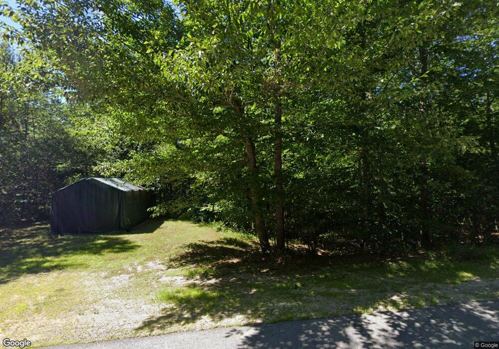
81 Mountain View Rd Bristol, NH 03222
Estimated Value: $544,402 - $1,938,000
3
Beds
2
Baths
1,949
Sq Ft
$496/Sq Ft
Est. Value
About This Home
This home is located at 81 Mountain View Rd, Bristol, NH 03222 and is currently estimated at $967,351, approximately $496 per square foot. 81 Mountain View Rd is a home located in Grafton County.
Ownership History
Date
Name
Owned For
Owner Type
Purchase Details
Closed on
Oct 17, 2016
Sold by
Costa Phillip A and Costa Kristen E
Bought by
Costa Ft
Current Estimated Value
Purchase Details
Closed on
May 28, 2004
Sold by
Dolan Neil M and Dolan Claire M
Bought by
Costa Phillip A and Costa Kristen E
Home Financials for this Owner
Home Financials are based on the most recent Mortgage that was taken out on this home.
Original Mortgage
$230,300
Interest Rate
5.88%
Mortgage Type
Purchase Money Mortgage
Create a Home Valuation Report for This Property
The Home Valuation Report is an in-depth analysis detailing your home's value as well as a comparison with similar homes in the area
Home Values in the Area
Average Home Value in this Area
Purchase History
| Date | Buyer | Sale Price | Title Company |
|---|---|---|---|
| Costa Ft | -- | -- | |
| Costa Phillip A | -- | -- | |
| Costa Phillip A | $287,900 | -- |
Source: Public Records
Mortgage History
| Date | Status | Borrower | Loan Amount |
|---|---|---|---|
| Previous Owner | Costa Phillip A | $209,500 | |
| Previous Owner | Costa Phillip A | $230,300 | |
| Previous Owner | Costa Phillip A | $230,300 |
Source: Public Records
Tax History Compared to Growth
Tax History
| Year | Tax Paid | Tax Assessment Tax Assessment Total Assessment is a certain percentage of the fair market value that is determined by local assessors to be the total taxable value of land and additions on the property. | Land | Improvement |
|---|---|---|---|---|
| 2024 | $6,599 | $279,400 | $108,800 | $170,600 |
| 2023 | $6,356 | $279,400 | $108,800 | $170,600 |
| 2022 | $5,806 | $276,600 | $108,800 | $167,800 |
| 2021 | $5,590 | $276,600 | $108,800 | $167,800 |
| 2020 | $5,723 | $276,600 | $108,800 | $167,800 |
| 2019 | $5,255 | $230,500 | $88,800 | $141,700 |
| 2018 | $5,025 | $230,500 | $88,800 | $141,700 |
| 2017 | $5,101 | $230,500 | $88,800 | $141,700 |
| 2016 | $4,753 | $230,500 | $88,800 | $141,700 |
| 2015 | $5,365 | $266,500 | $115,800 | $150,700 |
| 2014 | $5,365 | $266,500 | $115,800 | $150,700 |
| 2013 | $5,378 | $266,500 | $115,800 | $150,700 |
Source: Public Records
Map
Nearby Homes
- 26 Don Gerry Rd
- 94 Mandi Ln
- 35 Manor Estates Dr Unit 14
- 199 Cottage City Rd
- 383 Wulamat Rd
- Lot 7 Hall Rd
- 114 Ledgewood Terrace
- 862 Mayhew Turnpike Unit 1
- 150 Peaked Hill Rd
- 40 Adams Rd
- 00 Peaked Hill Rd Unit 7.1, 7.2, 7.3, 7.4,
- 333 Lake St
- 29 Daniels Rd
- 30 Beech St Unit 4B
- 30 Beech St Unit 4C
- 135 Pleasant St
- 125 Verrill Rd
- 4 Birchwood Dr Unit A
- 497 W Shore Rd
- 00 Ledgewood Cir Unit 7
- 81 Mountain View Dr
- 71 Mountain View Rd
- 71 Mountain View Dr
- Lot 1 Sunset Dr
- 54 Mountain View Rd
- 63 Mountain View Dr
- 1660 Lake St
- 90 Sunset Rd
- 37 Sunset Dr
- 79 Sunset Dr
- 100 Mountain View Rd
- 80 Sunset Dr
- 1700 Lake St
- 44 Sunset Dr
- 34 Mountain View Rd
- 1750 Lake St
- 1650 Lake St
- 70 Sunset Rd
- 15 Sable Rd
- 15 Sable Rd Unit 24