81 One Mile Rd Hampstead, NC 28443
Estimated Value: $466,000 - $639,494
3
Beds
3
Baths
2,024
Sq Ft
$268/Sq Ft
Est. Value
About This Home
This home is located at 81 One Mile Rd, Hampstead, NC 28443 and is currently estimated at $541,874, approximately $267 per square foot. 81 One Mile Rd is a home located in Pender County with nearby schools including South Topsail Elementary School, Topsail Middle School, and Topsail High School.
Ownership History
Date
Name
Owned For
Owner Type
Purchase Details
Closed on
May 20, 2025
Sold by
International Paper Company and Ip Farms Inc
Bought by
Brp Minerals Llc
Current Estimated Value
Purchase Details
Closed on
Oct 15, 2020
Sold by
Pennington Ralph S and Pennington Jacquelin C
Bought by
Smith Jason William and Smith Tamara Avis
Home Financials for this Owner
Home Financials are based on the most recent Mortgage that was taken out on this home.
Original Mortgage
$311,000
Interest Rate
2.9%
Mortgage Type
New Conventional
Purchase Details
Closed on
Mar 28, 2003
Bought by
Smith Jason W
Create a Home Valuation Report for This Property
The Home Valuation Report is an in-depth analysis detailing your home's value as well as a comparison with similar homes in the area
Home Values in the Area
Average Home Value in this Area
Purchase History
| Date | Buyer | Sale Price | Title Company |
|---|---|---|---|
| Brp Minerals Llc | -- | None Listed On Document | |
| Brp Minerals Llc | -- | None Listed On Document | |
| Smith Jason William | -- | None Available | |
| Smith Jason W | -- | -- |
Source: Public Records
Mortgage History
| Date | Status | Borrower | Loan Amount |
|---|---|---|---|
| Previous Owner | Smith Jason William | $311,000 |
Source: Public Records
Tax History
| Year | Tax Paid | Tax Assessment Tax Assessment Total Assessment is a certain percentage of the fair market value that is determined by local assessors to be the total taxable value of land and additions on the property. | Land | Improvement |
|---|---|---|---|---|
| 2025 | $3,883 | $616,930 | $162,564 | $454,366 |
| 2024 | $3,883 | $398,176 | $66,480 | $331,696 |
| 2023 | $3,474 | $390,905 | $66,480 | $324,425 |
| 2022 | $3,474 | $390,905 | $66,480 | $324,425 |
| 2021 | $3,474 | $390,905 | $66,480 | $324,425 |
| 2020 | $3,369 | $378,235 | $66,480 | $311,755 |
| 2019 | $3,369 | $378,235 | $66,480 | $311,755 |
| 2018 | $3,192 | $340,677 | $53,893 | $286,784 |
| 2017 | $3,192 | $340,677 | $53,893 | $286,784 |
| 2016 | $3,158 | $340,677 | $53,893 | $286,784 |
| 2015 | $3,123 | $340,677 | $53,893 | $286,784 |
| 2014 | $2,454 | $340,677 | $53,893 | $286,784 |
| 2013 | -- | $340,677 | $53,893 | $286,784 |
| 2012 | -- | $340,677 | $53,893 | $286,784 |
Source: Public Records
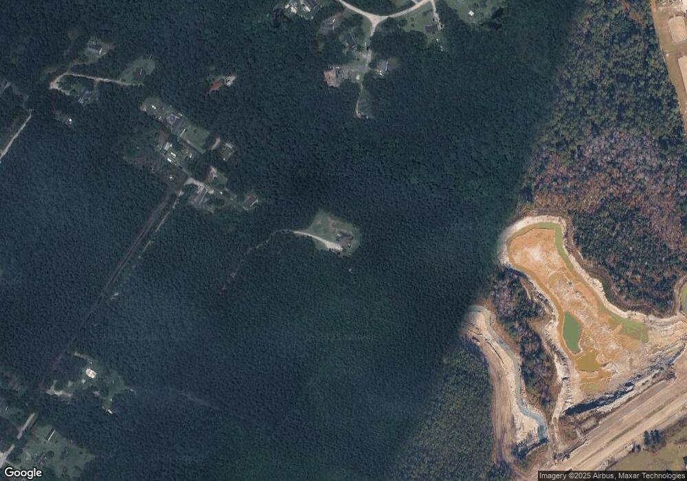
Map
Nearby Homes
- 66 Tree Top Ct
- 132 Holiday Dr
- 102 Fox Run Dr
- 1098 Hoover Rd
- 244 E Brookfield Branch Rd Unit 34
- Tbd Brookfield Branch Rd Unit 20
- 140 Brookfield Branch Rd Unit 21
- 166 Brookfield Branch Rd Unit 24
- 158 Brookfield Branch Rd Unit 23
- 115 Brookfield Branch Rd Unit 4
- 174 Brookfield Branch Rd Unit 25
- 150 Brookfield Branch Rd Unit 22
- 149 Brookfield Branch Rd Unit 8
- 182 Brookfield Branch Rd Unit 26
- 99 Brookfield Branch Rd Unit 2
- 109 W Farley Dr Unit 84
- 93 W Farley Dr Unit 82
- 58 W Farley Dr Unit 92
- 65 W Farley Dr Unit 77
- Tbd W Farley Dr Unit 90
Your Personal Tour Guide
Ask me questions while you tour the home.